Along the northwest approach from Bengaluru via NH-48, the service road at Davanagere turns through Shamanur toward Devarabelakere, a quiet agrarian village typical of Dakshinapatha yet dense with civilizational memory.
For more than a millennium and a half, Devarabelakere functioned as a significant civilisational and spiritual centre: history-altering campaigns were fought nearby, and Jaina, Shaiva, and Vaishnava saints established meditative retreats across its landscape. The present, however, wears a mantle of amnesia over this layered past.
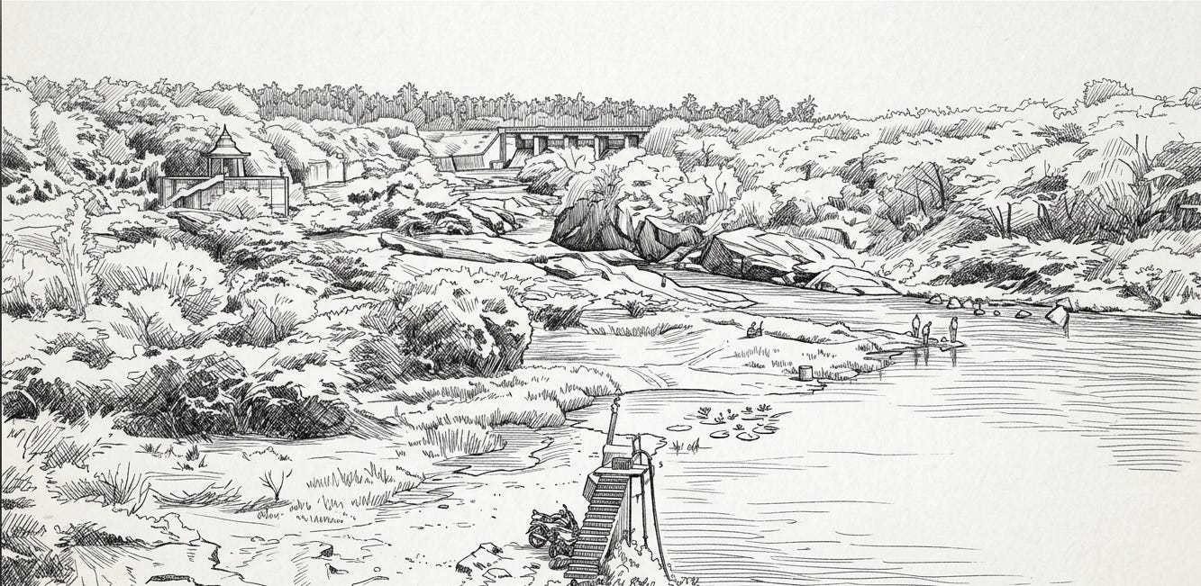
The last landmark before the hydroscape begins is the modest Mailaralingeshwaraswamy Mandira. A narrow, broken lane to its left terminates at the Devarabelakere Check Dam, a pick-up weir and reservoir complex constructed between 1978 and 1986; to the west, backwaters spread in a tranquil sheet, while to the east stand the control gates and a dilapidated hoist house.
Beyond this modern work appears a second, shorter structure in line and crest—the site memory of the Haridra Dam, first raised in the early Vijayanagara period under Devaraya I. Although the original fabric has long since been destroyed, the project and its purpose survive in inscriptional records.
In 1902, the ASI (Archaeological Survey of India) documented inscriptions at the Harihareshwara Temple in nearby Harihara on the Tungabhadra, references that galvanized researchers to relocate the vanished Haridra installation. A 2003 field survey by Dr. Jagadisha identified the low-lying trough immediately downstream of the modern pick-up weir as the basin of the Haridra, a tributary of the Tungabhadra, pending corroboration by future discoveries.
Exiting the check dam and turning right for roughly half a kilometre brings one to the threshold of this basin, where the landscape reads clearly to a trained eye: a shallow, ditch-like depression with remnant channel alignments consistent with a left-bank distributary drawn from an early medieval diversion weir.
Two pathways drop from the dam’s exit. The paved right-hand road descends to the riverbed; the left embankment path—an upraised earthen strip pinched between an arecanut-and-coconut plot on one side and a broad rice field on the other—leads to a small precinct saturated with antiquity.
About a kilometre along this embankment stands a ruined stone mandapam fronting the paddy, commonly identified as the Kali or Kalleshwara Temple. Perched on a mud-wrapped mound without a proper approach, the shrine retains a pillared Rangamantapa and a Garbha-Griha housing an elegant Shiva Linga.
The sight is affecting. A lone stray dog, sleeping behind the emblematic Linga, inadvertently recalls two traditional epithets—Shvapati and Pashupati—by which Bhagavan Rudra is remembered in the śāstric imagination, even as human custodianship has lapsed.
The temple’s condition, however, is precarious; masonry joints are opening and courses are listing, suggesting the very real possibility of collapse without intervention. It was on a pillar within this Rangamantapa that the ASI recorded an inscription in 1902—now either replaced or smoothed beyond legibility—which bears the date 1054 CE, in the reign of the Kalyana Chalukya monarch Someshvara I.
The tenor of the record is representative of the era’s piety and civic generosity: "The Kaliyuga Dhanvantari (the Deity of Ayurveda) named Vijayapandita granted land to a spiritual preceptor named Sovarāsi. The income from the land was to be used to offer Naivedya, Śāśvata dīpa (perpetual lamp), ghee, decorations and illuminations for the deity, Kali (the tenth avatara)."
This testimony indicates that the site was originally consecrated to Kali and subsequently assimilated into a Shaiva frame as Kalleshwara—a pattern not unusual in peninsular temple histories. The year 1054 CE is also notable for the Battle of Koppam between Someshvara I and the Cholas; although the Cholas gained the field and Rajadhiraja I fell, Someshvara retained his territories, and the regional sacred economy evidently continued to function.
Proceeding roughly 300 feet beyond the Kalleshwara mound, another small Shiva temple appears within a coconut grove. It too is crumbling, though its Linga remains intact. Both shrines align along the left bank of the channel issuing from the presumed Haridra diversion, a siting that coheres with the logic of medieval hydraulic design: pick-up weirs stored monsoon surges briefly and raised water levels just enough to divert flow into lateral channels feeding fields, settlements, and temples.
Read together, the hydrological footprint and the epigraphic trail bridge two key horizons in South Indian history—the Kalyana Chalukya and the Vijayanagara—while anchoring them in the lived geography of present-day Karnataka. The Vijayanagara Empire itself became extinct in 1565 CE, yet community-driven works like the Haridra Dam demonstrate how irrigation, agriculture, and sacred institutions were braided into one socio-ecological system.
This corridor also illuminates a wider pan-Dharmic continuum. The same landscape that once hosted Jaina retreats alongside Shaiva and Vaishnava seats attests to the shared values—dāna, seva, learning, and ethical self-cultivation—that connect Hindu, Buddhist, Jain, and Sikh traditions. Preserving such sites strengthens an inclusive understanding of India’s dharmic heritage rather than isolating any one stream.
In this light, the record that the Haridra Dam was built in 1410 CE by a collective of 108 public-spirited Brahmanas of Harihara acquires fresh resonance: it documents a model of locally financed, communitarian engineering whose benefits flowed to cultivation and cult alike. Further study will examine the specific donation records and the canal alignments in greater technical detail.
To be continued.
Inspired by this post on Dharma Dispatch.