
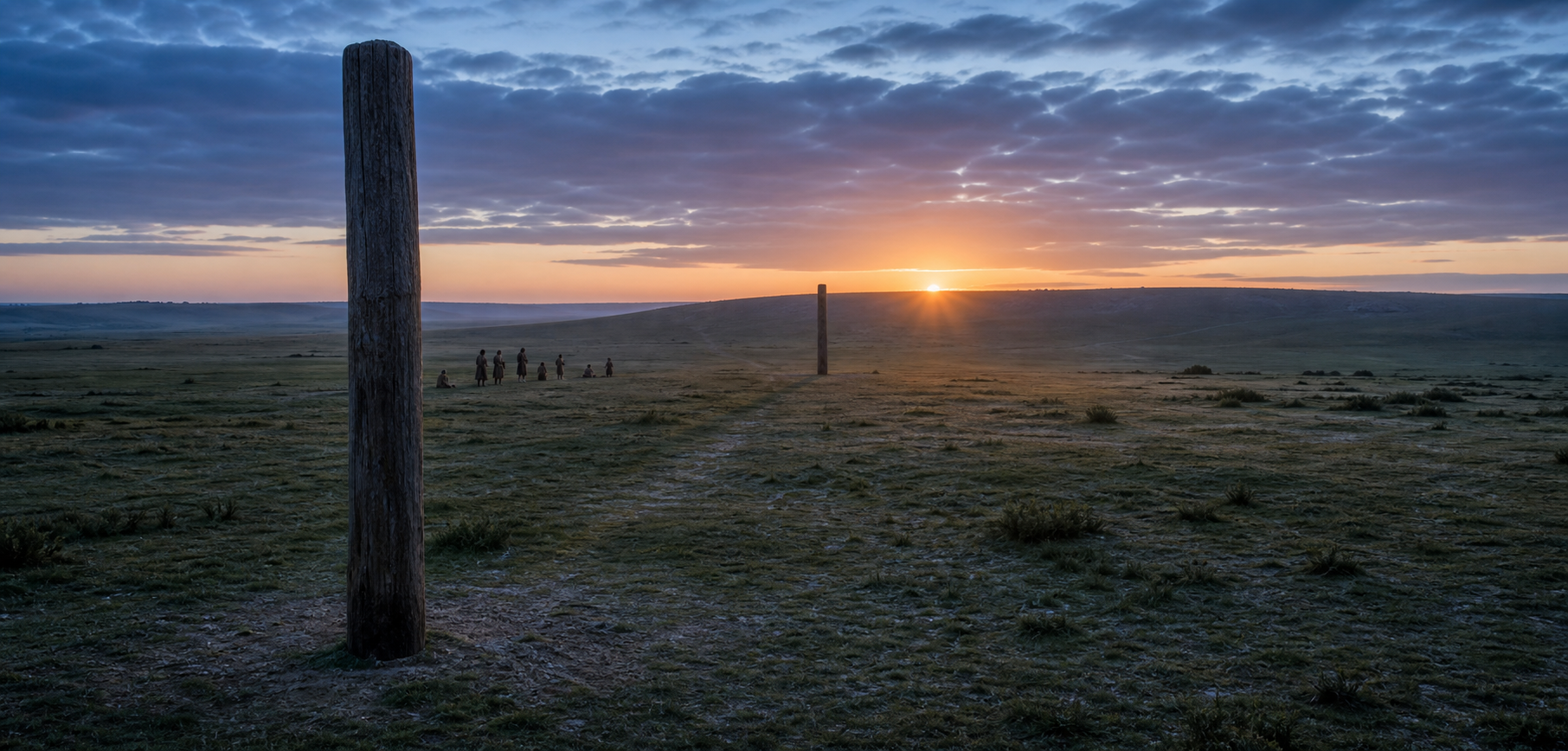
If you have seen Bulford described as a 5,000-year-old prototype of Stonehenge, the useful question is not whether the label sounds impressive. It is whether archaeologists can distinguish an intentional solar sightline from two unrelated holes in the ground.
At Bulford, the case rests on a dated setting, a 120-metre axis, the actual shape of the local horizon, and material evidence of concentrated human activity. Once you separate those observations from the interpretations built upon them, you can see both why the discovery matters and why it should not be made to prove more than it can.
What actually survived at Bulford
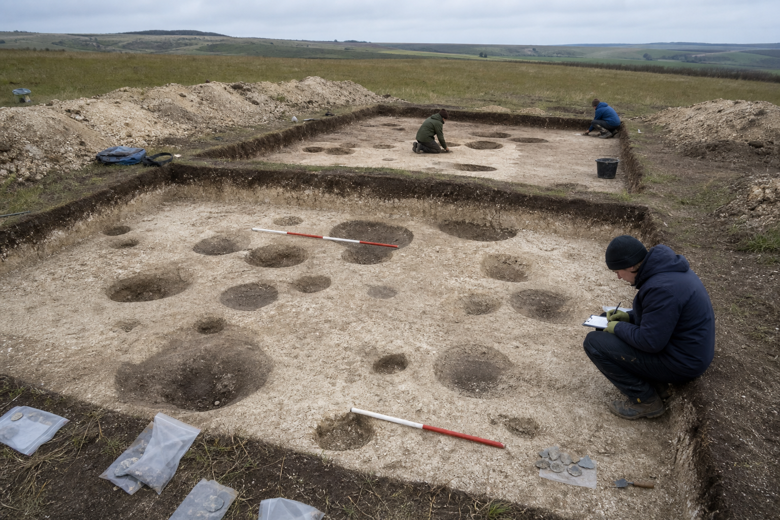
The site lies near Bulford in Wiltshire, approximately 5 kilometres from Stonehenge. Excavation between 2015 and 2017 identified 48 pits associated with a short but intensive phase of activity around 2950 BCE. This date places the activity broadly alongside Stonehenge’s earliest earthwork phase, but about five centuries before its great sarsen stones were erected.
No timber remains standing. The crucial evidence consists of the foundation settings for two posts positioned roughly 120 metres apart. Their locations define a line toward the summer-solstice sunrise in one direction and the winter-solstice sunset in the other. Bulford was therefore not a small stone circle, a miniature Stonehenge, or an unfinished version of the later monument. The engineered object was the relationship among a viewing position, two markers, the horizon, and the sun.
Pottery, animal bone, worked flint, and charcoal accompanied the pits. Their density and distribution are consistent with episodic gatherings and feasting rather than continuous domestic occupation. One feature interpreted as a possible viewing station also contained an exceptionally rare disc-shaped flint knife that appears to have been deliberately deposited.
Keep those findings in their proper order. The pits and artefacts are excavated evidence. Feasting is an interpretation of the deposits. A viewing station is an interpretation of one feature’s position and contents. The knife’s circular form makes solar symbolism plausible in this setting, but its shape is not an inscription explaining what its maker believed.
How two timber posts could mark the solar year
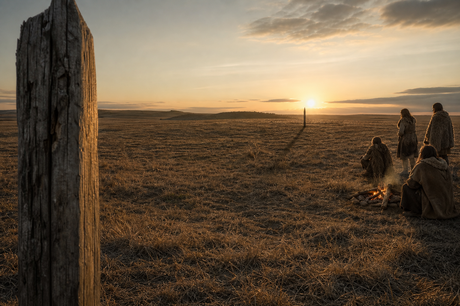
The sun does not rise at the same point on the horizon every morning. At Bulford’s latitude, near 51.2 degrees north, its rising position moves progressively northward as the summer solstice approaches, pauses at its seasonal extreme, and then reverses. The winter-solstice sunset reaches the corresponding extreme on the opposite side of the same axis.
This means a community did not need a written equation or a metal surveying instrument to locate the turning points. It needed a stable place of observation, an identifiable skyline, repeated sightings, and a way to preserve the result. A plausible procedure would have been to mark successive rising positions, watch for the annual reversal, repeat the observation across more than one season, and then establish durable posts on the confirmed line. That is a reconstruction of what could work, not a surviving record of the builders’ method.
The alignment was tested using a reconstruction of the Neolithic sky together with the elevation of the local horizon and the surrounding topography. The resulting axis targets the solstitial sun to within approximately one degree. Over a 120-metre baseline, one degree corresponds to a lateral offset of roughly 2.1 metres. That calculation helps you picture the directional scale; it does not establish the unknown width of the original posts or reduce the entire building process to a two-metre tolerance.
The local horizon is indispensable. A line that looks convincing on a flat plan can fail once a ridge, slope, or displaced viewing point is included. Likewise, a modern sunrise bearing is not automatically the correct test for a Neolithic structure. When you assess any archaeoastronomical claim, ask four concrete questions: Where did the observer stand? Which visible horizon was used? Was the sky reconstructed for the relevant period? Does the proposed direction work from the excavated features rather than from a convenient nearby point?
Bulford performs well under those checks. Its achievement was not advanced machinery but disciplined continuity: people had to observe, remember, verify, and translate a recurring celestial event into a public line on the land.
From dated postholes to a “prototype”: where certainty changes
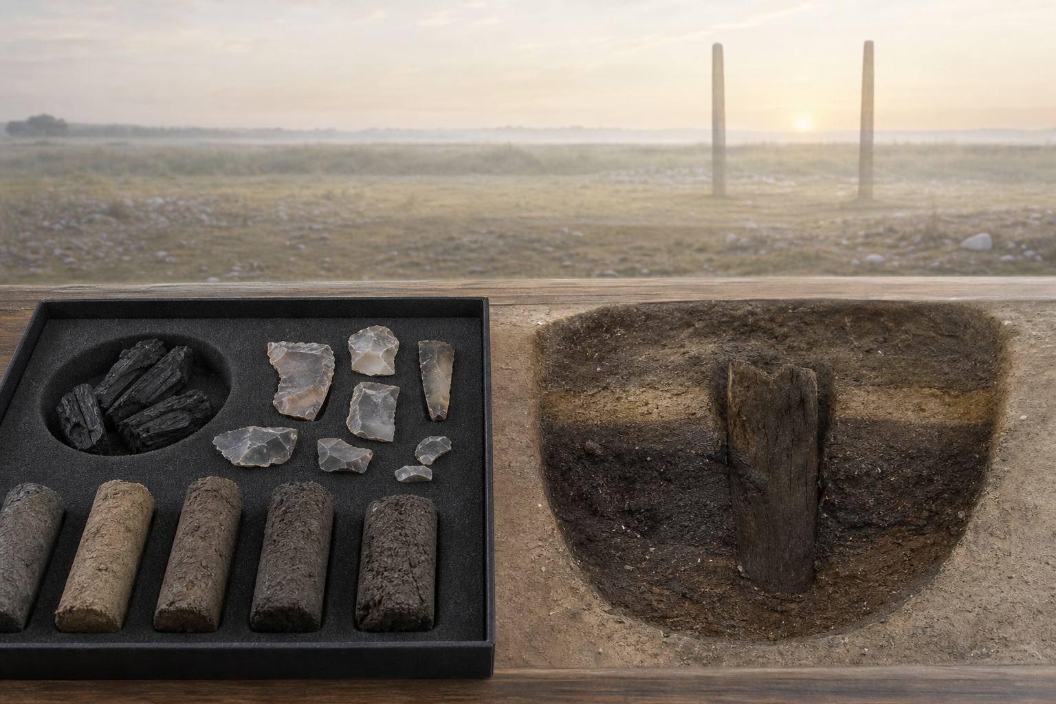
Archaeological arguments often contain several levels of confidence. Treating every level as equally certain makes a discovery sound stronger for a moment but less trustworthy once the details are examined. Bulford is clearer when the levels remain visible.
| Claim | Basis | Prudent reading |
|---|---|---|
| Intensive activity occurred around 2950 BCE | Radiocarbon dating, pits, charcoal, pottery, bone, and worked flint | A firmly grounded chronological and archaeological conclusion |
| The two-post axis was deliberately solstitial | A 120-metre line matching the reconstructed summer sunrise and winter sunset to about one degree | A strong astronomical interpretation, although no written explanation survives |
| Large seasonal gatherings took place | Dense deposits and evidence compatible with episodic consumption | Likely, especially when the finds are considered together, but the attendance cannot be counted |
| One feature served as a viewing station | Its position on the alignment and its unusual deposited knife | Possible rather than demonstrated |
| The disc-shaped knife carried solar meaning | Its circular form and placement within a solstitial setting | Suggestive symbolism, not a decoded message |
| Bulford was a prototype for Stonehenge | It expressed a similar solstitial axis centuries before the sarsen monument | Useful if “prototype” means an earlier ritual and observational principle, not a construction blueprint |
Use the word “prototype” narrowly
Bulford is the earliest known purpose-built solstitial alignment identified within the wider Stonehenge landscape. “Earliest known” does not mean the first one ever made, nor does it make Bulford the ancestor of every later feature on Salisbury Plain. Earlier timber markers could have vanished without a recognisable trace.
The chronology nevertheless changes the story. Stonehenge Phase 1, around 3000 BCE, consisted of the bank, ditch, and Aubrey Holes. The familiar sarsen circle and trilithons belong to later work around 2500 BCE. Bulford shows that a carefully placed solstitial axis was already operative in the region before that monumental stone phase.
An analogous timber sightline may once have existed at early Stonehenge and been erased by later construction, but that remains a possibility rather than a recovered structure. Other features in the landscape, including the Stonehenge Avenue and monuments at Durrington Walls, have also been interpreted through seasonal orientations. These connections make a long regional tradition more credible; they do not supply a complete chain of teachers, builders, or ceremonies from one site to the next.
The safest conclusion is also the most interesting one: the famous stones did not introduce the idea of binding communal life to the solar extremes. They monumentalised an idea already being enacted through perishable architecture. In that sense, Bulford is a prototype of a ritual relationship among people, place, and time, not a scale model waiting to become Stonehenge.
What a Dharmic reader can recognise without inventing a lineage
If you approach ancient cultures through a Dharmic civilizational lens, one feature of Bulford will feel familiar: empirical skywatching and sacred practice need not occupy separate worlds. The ceremony depended on accuracy. If the observation failed, the line lost the very relationship that gave it ritual force.
That is a useful corrective to the dismissive phrase “primitive sun worship.” The builders were not merely reacting to a bright object. They were locating difficult seasonal extremes, fixing them in the landscape, and apparently bringing a community together around those moments. Observation became architecture; architecture organised gathering; gathering carried memory beyond a single person’s lifetime.
Resonance, however, is not descent. The Bulford evidence establishes no historical connection with Bharat, no shared scriptural vocabulary, and no route by which a specifically Vedic teaching reached Neolithic Wiltshire. Similar ways of joining cosmos, ritual, and social order can arise because human communities face the same sun and the same problem of preserving time across generations. Turning a meaningful parallel into a claim of transmission would weaken, not strengthen, the civilizational insight.
You can make a more disciplined comparison by asking what kind of similarity is present. Is it a general function, such as marking a season? Is it a distinctive combination of measurements, symbols, and rites? Is there chronological and geographical evidence connecting the cultures? Are there intermediate examples? Bulford supports the first kind of comparison. It does not presently supply the latter kinds.
This restraint leaves room for a deeper Dharmic observation. Sacred order is not necessarily an escape from the physical world. It can arise through sustained attention to that world. Bulford’s line mattered because the sun was watched carefully enough for a community to return to the right place at the right time.
Key takeaways
- Bulford preserves the settings of two timber posts about 120 metres apart, not a lost stone circle.
- The complex dates to around 2950 BCE and lies approximately 5 kilometres from Stonehenge.
- Its axis matches the reconstructed summer-solstice sunrise and winter-solstice sunset to within about one degree when the local horizon is included.
- Pottery, animal bone, flint, and charcoal support a picture of concentrated, episodic activity; gathering, feasting, and specific ritual meanings remain interpretations with different levels of confidence.
- Calling Bulford a prototype is defensible when it means an early expression of the solstitial principle later monumentalised in stone, not a miniature or proven design trial for Stonehenge.
- Dharmic readers can recognise the union of observation, sacred time, and communal order without treating that resemblance as evidence of cultural transmission from Bharat.
When you next encounter a dramatic claim about an ancient astronomical monument, reduce it to four checks: what physically survived, how it was dated, whether the historical sky and real horizon were modelled, and where interpretation begins. Bulford remains remarkable after those checks. That is the sound reason to remember it.