
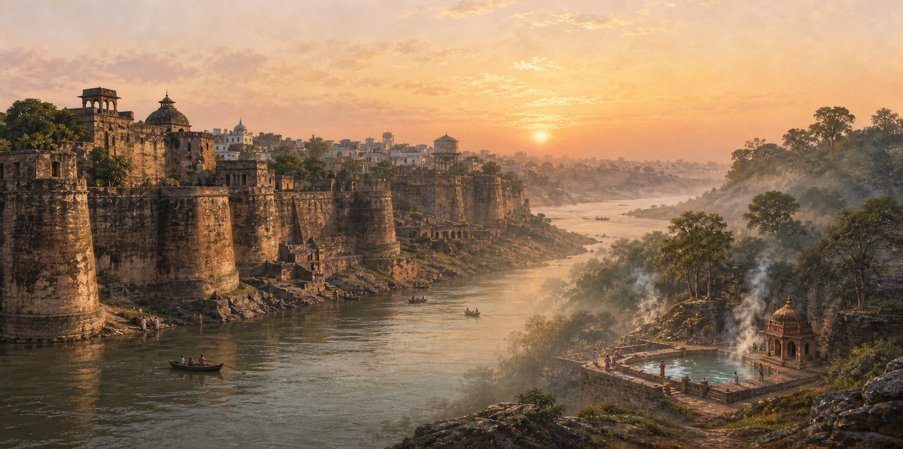
You may know Sitakund through Sita Mata, Monghyr Fort through Mughal and Company warfare, or Munger simply as a city beside the Ganga. The difficulty is that these are not three unrelated stories. They are different entrances into the same place.
To understand that place without turning devotion into archaeology or reducing a living tirtha to military ruins, you need to distinguish sacred tradition, inscription, architecture, political chronology, eyewitness description, and oral memory. Once you do that, Munger becomes legible as both a resilient Dharmic landscape and a strategically contested city.
Munger’s names preserve several kinds of memory
The modern name is Munger, while Monghyr is the spelling you will often meet in British-period records. Older names and proposed derivations take you further back, but they do not all carry the same evidentiary weight.
Within sacred geography, the region belongs to Sītāyana, the sanctifying journey associated with Sita Mata, and is connected with Janaka of Mithila. Mahabharata tradition also identifies a city called Modagiri near present-day Munger, subdued by Bhimasena during Yudhishtira’s Rājasūya Yajña. These associations tell you how the region was placed within an inherited civilisational map; they should not be presented as if they were dated inscriptions.
Mudgagiri, commonly interpreted as a hill associated with mudga or moong, is another early form of the name. The Nirukta tradition associates the city’s foundation with Rishi Mudgala. Colonial philologists proposed different explanations: Alexander Cunningham connected the name with the Munda jana-jaati, while Oldham proposed Muni-griha. The existence of several etymologies is itself important. It means you should resist repeating any one of them as a settled linguistic verdict.
A firmer chronological anchor appears in a sixth-century rock inscription at Kashtaharani Ghat. It places royal attention at Munger during the Gupta-period horizon, after which the site was remembered as Guptagadh. This does not prove every story associated with the city, but it does show that Munger’s historical importance cannot begin with the Sultanate, the Mughals, or the British.
The most reliable way to speak about this early past is therefore layered. Say that Sita Mata, Janaka, and Modagiri belong to sacred and textual memory; Mudgagiri and Mudgala belong to naming traditions; and the Kashtaharani inscription supplies epigraphic evidence. That distinction protects both faith and history. Sacred memory need not impersonate an excavation report in order to possess civilisational meaning.
The fort makes sense when you begin with the Ganga
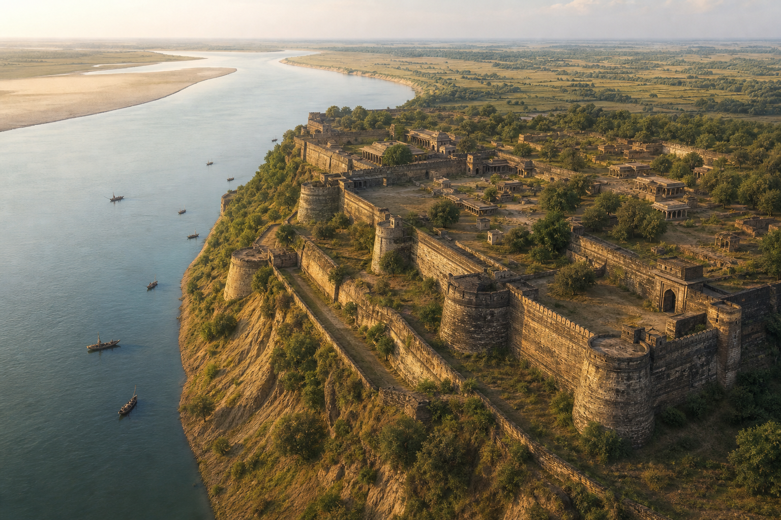
Monghyr Fort is easiest to misread when you imagine it as an isolated castle. Its logic begins with terrain. The fort occupies a commanding bend of the Ganga, where river, ridge, cultivated plain, high walls, and a deep ditch combine into a defensive system. Its perimeter extended for more than two miles, enclosing enough space for a lived settlement rather than merely a compact military post.
This form fits the classical Indian idea of a Kaṭaka, or Kataka: a fortified capital, a garrisoned camp, and a defended edge associated with elevated terrain. The concept appears elsewhere in the subcontinent. Devagiri was described as a Kataka in inscriptions, Vijayanagara developed the fortified-capital form on an imperial scale, and the name Cuttack preserves the same linguistic root. Recognising that pattern changes what you notice at Monghyr. The walls are not simply the shell of a palace; they mark an urban and strategic organism.
An early nineteenth-century visitor accordingly found a town-like interior beyond the gates, framed by the Ganga, distant mountains, and cultivated plains. The fort could appear damaged and still command admiration because its power came from the whole landscape. When you look at a plan, photograph, or surviving section of the site, read the river bend, ditch, gates, walls, and interior together. Studying only a palace remnant leaves out the system that made Monghyr valuable.
That value explains the long succession of rulers. After the Gupta-period horizon came the Palas, Gahadavalas, the Karnata kings of Mithila, and the Senas. Bakhtiyar Khalji then brought the region into the sphere of the early Delhi Sultanate. Roughly six centuries of Sultanate and Mughal authority followed before the East India Company seized the fort in 1763. The sequence should not be mistaken for uninterrupted institutional continuity: what endured was the strategic desirability of the place.
Shah Shuja, Shah Jahan’s second son and governor of Bengal from approximately 1640 to 1660, understood that advantage. He strengthened Monghyr and established a substantial palace complex inside the fort. The city later became entangled in the Mughal succession struggle, and Shuja eventually lost control and withdrew east towards Arakan, in present-day Rakhine in Myanmar. Courtly reversals were temporary; alterations made to buildings and sacred spaces could last much longer.
Sitakund remained the ritual heart through political upheaval

Sitakund is a perennial hot-water spring, but describing it only as a geological curiosity misses its identity. Local tradition associates its waters with Sita Mata’s punya-snana after the Agni Pariksha. For devotees, the spring belongs to a sacred journey, not merely to a list of monuments near an old fort.
The living test of that identity is continued pilgrimage. The ritual cycle associated with the site culminates in the Maghi observance on Magha Purnima. Historical descriptions record very large pilgrim gatherings at Monghyr during the season, with devotees also bathing in the Ganga. The important point is not to force a modern attendance figure where none is available. It is to recognise that recurring worship carried the sacred landscape across changes of regime.
The nearby temple also bears the marks of those changes. It had five arched entrances and carved niches intended for murtis. During Shah Shuja’s tenure, the images were removed and the Hindu structure was adapted for use as a mosque. Pilgrim levies were also imposed during his administration. The temple was subsequently restored to Hindu worship, and the wider ensemble came under the care of the Archaeological Survey of India.
This history should be stated without euphemism: a Hindu sacred space was appropriated under an imperial administration, its murtis were displaced, and its use was changed. It should also be stated without assigning inherited guilt to an entire present-day community. The responsible object of judgment is the ruler, policy, and act involved. That precision allows cultural memory to remain honest without turning history into indiscriminate accusation.
Restoration does not erase the interruption. Nor does the interruption erase the shrine’s renewed life. You need both facts to understand Sitakund’s resilience. The site is neither an untouched relic nor merely a victimised ruin; it is a tirtha whose worshippers re-established continuity after a coercive alteration.
That distinction matters for conservation. Protecting stonework while obstructing living ritual would preserve only a shell. Allowing uncontrolled alteration while neglecting inscriptions, niches, water structures, and historical fabric would sacrifice evidence. A Dharmic conservation ethic must hold ritual access, physical preservation, cleanliness, documentation, and truthful interpretation together.
The fort’s scars separate political fact from remembered trauma
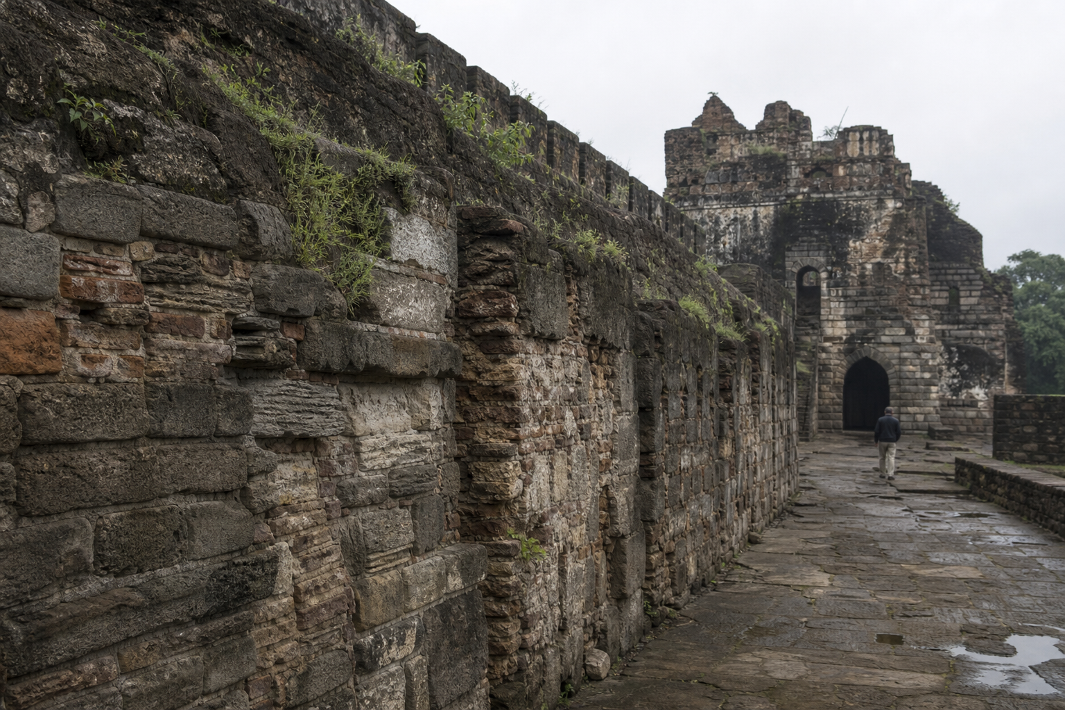
One of Monghyr’s most evocative stories concerns a large stepped well near Shah Shuja’s palace. Local memory called it the singing well and held that music could be heard from it every seven years, echoing performances once staged in the nearby zenana. A darker version says that women of the royal quarters were killed during a crisis, some enclosed within the well’s walls and others thrown into its depths.
No archival confirmation establishes that violent story as fact. That does not make the tradition worthless; it changes the question you should ask. Instead of citing it as a verified event, treat it as place-memory: a way in which later residents encoded fear, courtly secrecy, and political catastrophe into a physical structure. Oral history can reveal how a community remembers trauma even when it cannot supply the date or proof of a particular death.
The fort’s eighteenth-century transition is more securely dated. After Mughal central authority weakened, Monghyr became an important base for Nawab Mir Qasim. In 1763, Company forces under Major John Carnac captured it after a nine-day siege, one year before the Battle of Buxar. It then served as a frontier depot for arms and ammunition. Later administrative changes under Lord Cornwallis shifted British priorities, while Allahabad, or Prayagraj, gained importance as a principal seat.
This sequence gives you a practical rule for interpreting ruins. A wall can belong to the long Kataka logic of the city; a palace can express Shah Shuja’s ambitions; a well can carry an unverified legend; and an arsenal can belong to Company occupation. Physical proximity does not make every feature contemporary. Before assigning a structure to one ruler, ask what kind of evidence supports the attribution.
Key takeaways for reading or visiting Munger
- Use Munger for the modern city and expect Monghyr in British-period names and records. Do not assume that the spelling difference identifies two places.
- Begin with the bend of the Ganga. The river, ridge, ditch, walls, gates, and inhabited interior explain why the fort attracted successive powers.
- Label each claim by its evidence. Sita Mata and Modagiri belong to sacred or textual memory; the Kashtaharani inscription is epigraphic; the singing well is oral tradition.
- Treat Sitakund as a living tirtha. Its hot spring, Sita tradition, Magha pilgrimage, and restored worship are central to the history, not decorative additions to a military site.
- Name the temple’s appropriation and the pilgrim levies clearly, but locate responsibility in Shah Shuja’s administration and its actions rather than extending blame to a community.
- Read the 1763 capture as a change in the fort’s function as well as its ruler. A fortified capital and sacred city became a Company military depot.
If you are preparing to visit, teach, or write about Munger, make three passes through its history. First map the Ganga and fortifications; then identify the sacred practices that survived within the landscape; finally place each political remnant in its dynasty or administration. Keep tradition, inscription, eyewitness description, and legend labelled rather than blended.
Munger does not need a simplified story to command respect. Its stronger inheritance is the complete one: sacred memory rooted in Sita Mata, an ancient fortified landscape, visible wounds left by imperial power, restored Hindu worship, and a duty of conservation that falls on us now. Learn the distinctions, repeat claims at their proper level of certainty, and support preservation that keeps both the evidence and the tirtha alive.
References
- The Dharma Dispatch – Sitakund and Monghyr Fort: Shah Shuja’s Turmoil and a Sacred City’s Resilience
