
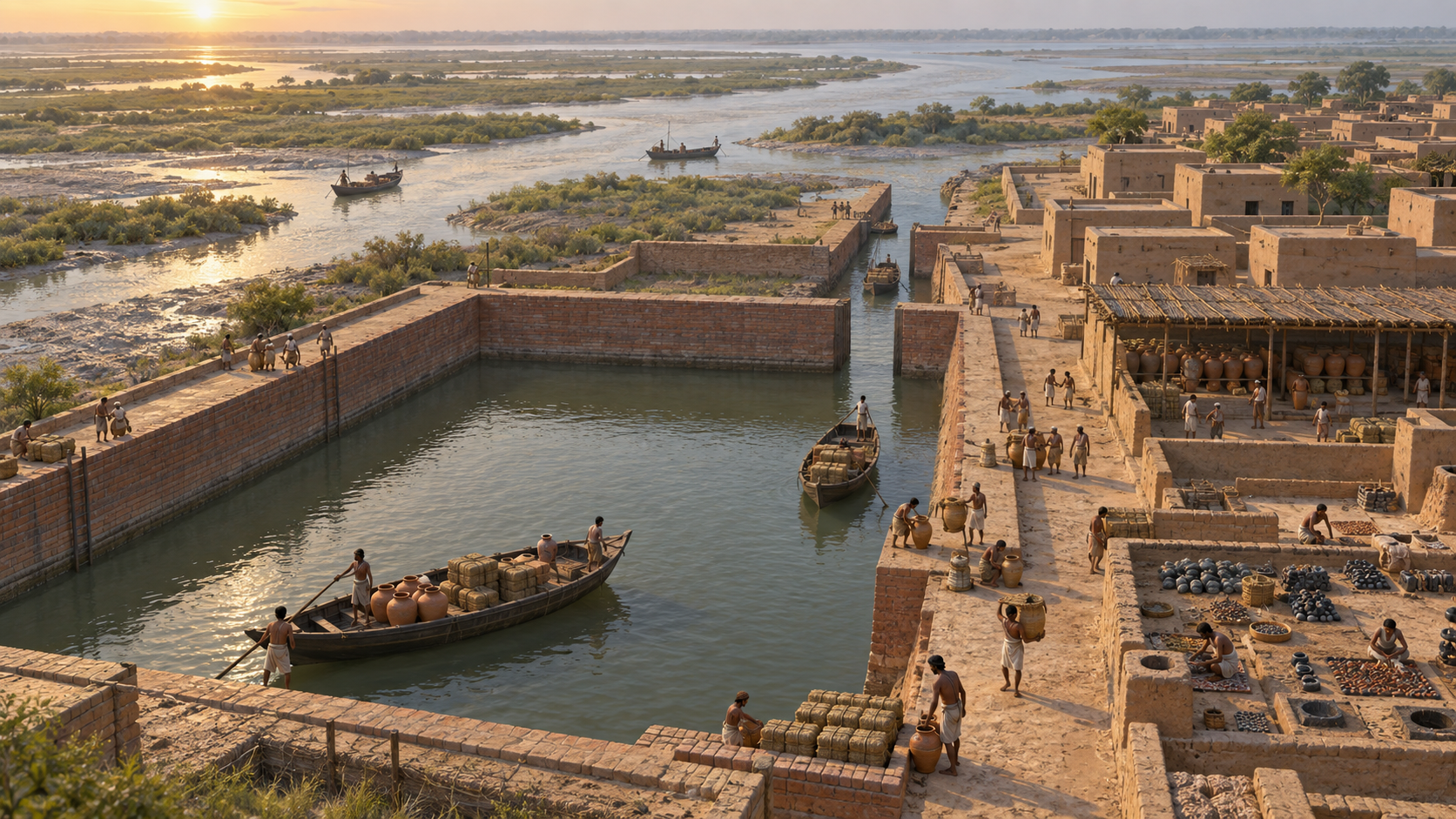
If you arrived at Lothal trying to decide whether ancient Bharat possessed real maritime infrastructure or merely a settlement near the coast, focus on one practical question: how could a vessel move between a strongly tidal sea and an inland economy?
Lothal gives you a concrete answer. Around 2400 BCE, Harappan builders created a large brick basin near the Gulf of Khambhat and linked its maritime access to a river system serving the hinterland. Its importance lies not merely in its age, but in how its parts addressed three connected problems: tidal access, controlled water depth and inland distribution.
Key takeaways
- Lothal was a Harappan settlement in Gujarat dating to around 2400 BCE, with a purpose-built basin widely considered the world’s oldest artificial dockyard.
- The dock interpretation rests on a combination of evidence: its position near a highly tidal gulf, its large burnt-brick enclosure, and its sluice, spill and water-locking features.
- The Bhogava tributary connected the dock with the wider Sabarmati river system, making Lothal an interface between the Arabian Sea and an inland supply network.
- The most defensible lesson is not simply that ancient people sailed. It is that Harappan engineers planned infrastructure around tides, mud, currents and the movement of goods through a hinterland.
- When discussing Lothal, use the qualifier widely considered for the oldest-dockyard claim. That preserves the distinction between physical remains, functional interpretation and comparative ranking.
Begin with the claim the remains can actually support
Archaeologist S. R. Rao identified Lothal’s maritime architecture in Gujarat in 1954. The settlement belongs to the Indus Valley Civilisation and dates to approximately 2400 BCE. Those details place a substantial work of hydraulic engineering on the western coast of Bharat more than four millennia ago.
Lothal is widely considered the world’s oldest artificial dockyard. The qualifier matters. An oldest claim depends on how archaeologists classify a structure, date it and compare it with remains elsewhere. You do not need to turn a widely accepted description into an uncontested absolute to appreciate the achievement.
A careful one-sentence description would be: At Lothal in Gujarat, Harappan engineers built around 2400 BCE a tidal basin widely regarded as the world’s oldest artificial dockyard, using brickwork and water-control features to connect maritime movement with a riverine hinterland. That formulation gives the chronology, function and significance without claiming more than the physical system can carry.
Even the name should be handled with care. Lothal is commonly translated from Gujarati as the Mound of the Dead, while another interpretation associates it with a place where boats were moored and repaired. The maritime reading is suggestive, but the name is context rather than proof. The stronger argument comes from the basin, its controls and its relationship to the local waterways.
Read the dock as an answer to the Gulf’s tides
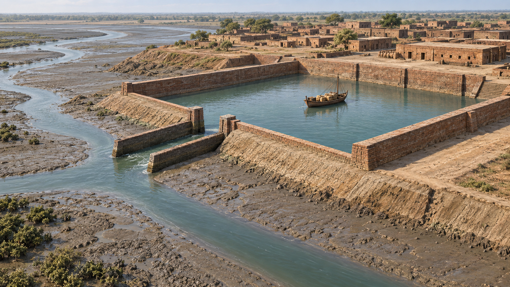
The Gulf of Khambhat is not a passive backdrop. Its pronounced tidal range creates two opposite problems. High water brings depth for vessels but also strong currents and pressure. Low water can leave a vessel immobilised in deep, wet mud. A working dock had to use the tide without surrendering every movement to it.
Lothal’s answer was a trapezoidal brick enclosure approximately 214-218 metres long and 36-37 metres wide. Size alone does not establish maritime function. The persuasive feature is the way the basin’s form, materials and water controls work together against the known conditions of the gulf.
- The enclosed basin provided a managed area in which water and vessel movement could be controlled more effectively than on an exposed tidal bank.
- High-quality burnt bricks gave the structure resistance against water pressure and the powerful currents associated with high tide.
- Sluice gates regulated the movement of water rather than allowing the basin to rise and fall entirely with the surrounding tide.
- Spill channels offered a route for excess water, an essential safeguard when inflow or tidal pressure became too great.
- A water-locking arrangement helped retain usable depth, reducing the danger that vessels would settle into mud as the tide withdrew.
The operating logic can be followed step by step:
- A rising or high tide supplied enough water for a vessel to approach and remain afloat.
- Gates allowed water movement into or out of the protected basin to be regulated.
- Spill channels relieved unwanted excess rather than letting it place uncontrolled pressure on the enclosure.
- Retained water helped preserve navigable depth after the external tide fell, protecting vessels from the muddy bottom.
This is the detail to notice when someone reduces Lothal to a large ancient tank or, at the other extreme, treats the word dockyard as sufficient proof by itself. A shape can be ambiguous. A coordinated system designed around tides, currents, water pressure and low-tide mud makes the maritime interpretation much stronger.
Follow the trade route inland, not only out to sea

A dock becomes commercially important through its connections. At Lothal, the Bhogava tributary connected the basin to the wider Sabarmati river ecosystem, while the Gulf of Khambhat opened towards the Arabian Sea. That arrangement placed the settlement between two economic spaces: a maritime route on one side and an inland catchment on the other.
Trace the route in both directions. Goods, supplies and people could move through the inland river system towards Lothal. The managed basin provided an interface where riverine and tidal movement could meet. Vessels could then proceed towards the gulf, while incoming cargo could make the reverse journey into the hinterland.
This is why port is a better concept than dock alone. A dock is a piece of infrastructure. A port functions as a node in a network. Its value depends on whether cargo can reach it, whether vessels can use it at workable times, and whether incoming goods can continue towards inland consumers. Lothal’s river and sea connections help explain how the site supported trade, transport and supply links between the settlement and its hinterland.
When you assess any claim about an ancient trading centre, look for the same three-part pattern:
- Access: Is there a practical route connecting the settlement with navigable water?
- Control: Is there infrastructure for handling the local hazards of depth, current, tide or flooding?
- Distribution: Is there a corridor through which goods can move between the waterfront and an inland economic region?
Lothal matters because all three appear in one coherent landscape. The basin controlled the difficult transition between land and tidal water; the Bhogava and Sabarmati system extended movement inland; and the gulf connected that system with the Arabian Sea. Maritime trade was therefore not an isolated act of sailing. It was an organised chain of movements whose weakest link could determine whether a voyage was commercially useful.
Distinguish civilisational significance from overstatement
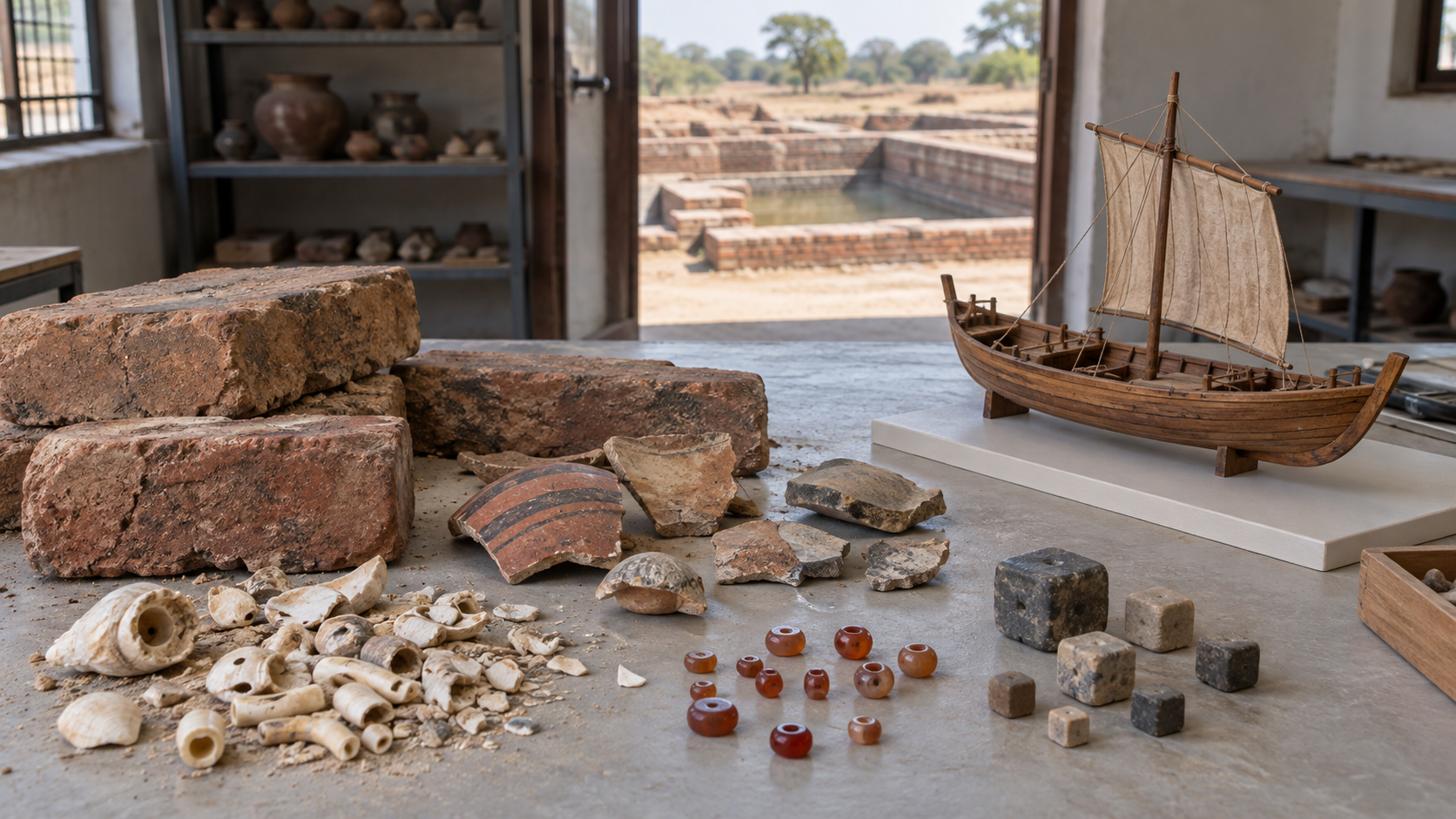
Lothal supports a substantial conclusion about ancient Bharat. Harappan communities on the Gujarat coast possessed practical knowledge of tides, hydraulic control, durable water-facing construction and the relationship between a port and its hinterland. Building and maintaining a basin of this scale also required planning and coordinated work. Maritime capability here was embodied in civic infrastructure, not merely in an isolated boat or a remembered voyage.
The dock alone does not identify every commodity that passed through Lothal, every destination reached by its vessels, the dimensions of those vessels, the volume of annual traffic or the political institution that directed the work. Each of those questions requires its own evidence. Adding unsupported particulars does not strengthen the case for Lothal; it makes an otherwise solid case easier to challenge.
You can keep the boundary clear by sorting any statement into three levels:
- Observed: the brick enclosure, its dimensions, water-control features and geographical connections.
- Functionally inferred: management of tidal water, protection of vessels from low-tide mud and support for repeated maritime movement.
- Still requiring separate evidence: particular cargoes, named foreign partners, vessel capacity, ownership and precise traffic levels.
This discipline does not diminish civilisational pride. It anchors that pride in something durable. Lothal’s importance survives even after exaggerated claims are removed: Harappan engineers recognised a difficult coastal environment, designed around its constraints and connected the resulting infrastructure to an inland trade network.
When you teach, visit or write about Lothal, lead with the system before the superlative. Ask your listener to trace one vessel from the inland river route, through the managed tide, and towards the Arabian Sea. That habit turns admiration for ancient Bharat into an argument that can be examined, taught and defended.
References
