
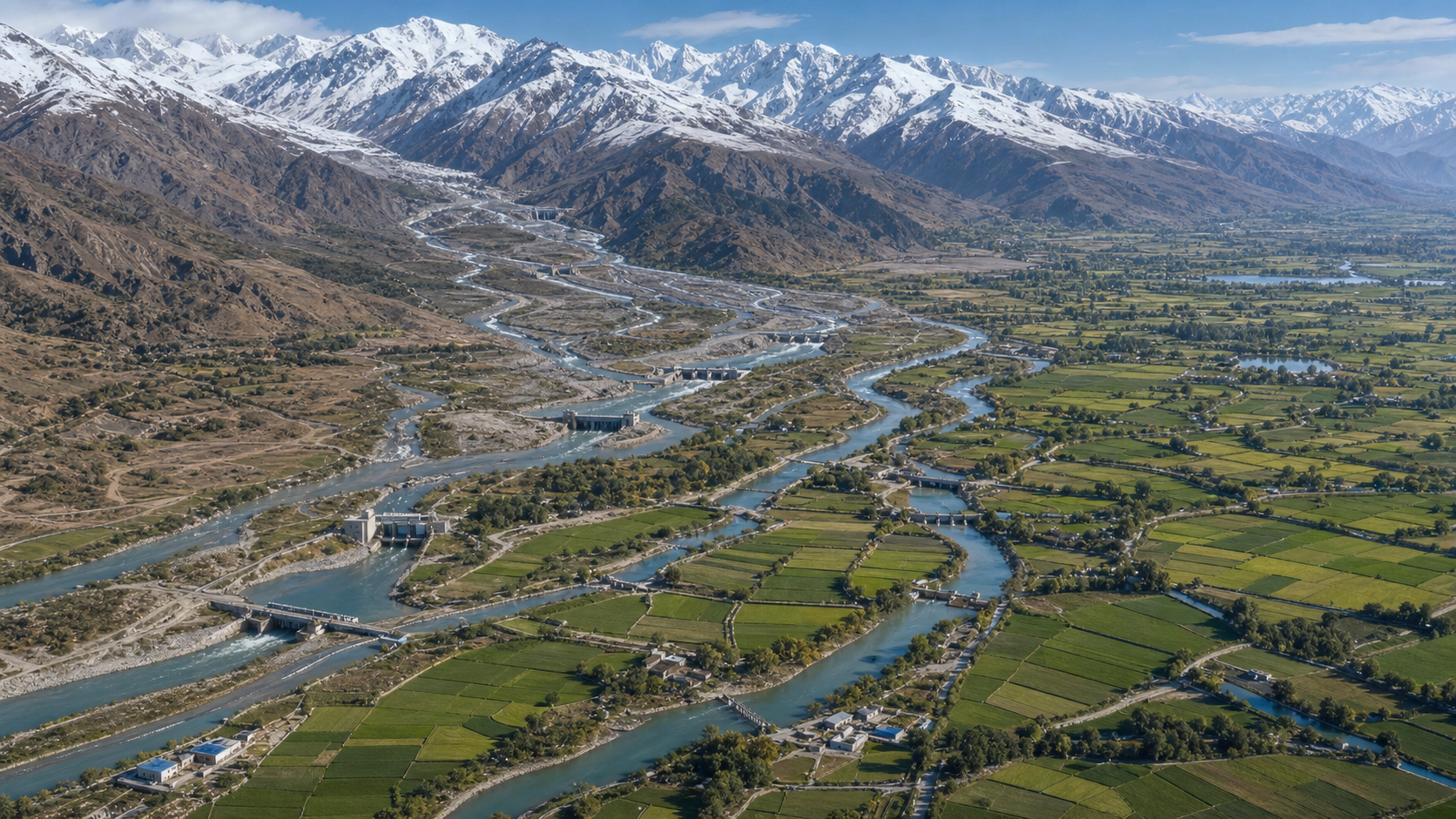
The strategic debate over the Indus Waters Treaty is often reduced to a misleading binary: either the agreement permanently deprived Bharat of leverage, or an upstream state can now restrict Pakistan’s water whenever it chooses. The available source material supports neither simplification.
A clearer framework separates legal entitlement, physical capability, institutional readiness and public evidence. The treaty defined the permitted space for action, but infrastructure and administrative capacity determine how much of that space can actually be used. This distinction explains both the costs of the original settlement and the consequences of decades of incomplete development.
Key takeaways
- The source analysis describes the 1960 settlement as unusually restrictive for an upper-riparian state, while also documenting significant Indian rights that remained available within it.
- Bharat’s practical leverage depends less on declarations than on completed storage, irrigation, hydropower, monitoring and data systems.
- Images of depleted canals or reservoirs cannot establish upstream responsibility without hydrological and operational evidence.
- A durable strategy must combine lawful project development, technical competence and credible communication while protecting basin communities from indiscriminate harm.
The treaty allocated water but also created an operating system
The existing DharmaRenaissance analysis traces the treaty to Partition’s division of an integrated irrigation network. It reports that headworks remaining in India continued to serve canals in territory that became Pakistan. The interruption of some canal supplies in April 1948, followed by the May 1948 Inter-Dominion Agreement, helped turn an engineering and allocation problem into a question of national security.
According to that account, Prime Minister Jawaharlal Nehru and Pakistani President Mohammad Ayub Khan signed the treaty in Karachi on 19 September 1960 after negotiations facilitated by the International Bank for Reconstruction and Development. The World Bank signed only for the functions assigned to it in the agreement; the source cautions against treating the institution as either the owner of the rivers or an unlimited guarantor of the settlement.
| Treaty dimension | Source-reported arrangement | Strategic implication |
|---|---|---|
| Eastern rivers | The Ravi, Beas and Sutlej became available for India’s unrestricted use after a transition period. | Capability depends on developing and efficiently using the water made available to India. |
| Western rivers | India was generally required to let the Indus, Jhelum and Chenab flow for Pakistan’s use, subject to specified Indian rights. | The value of those rights depends on technically compliant projects and the capacity to operate them. |
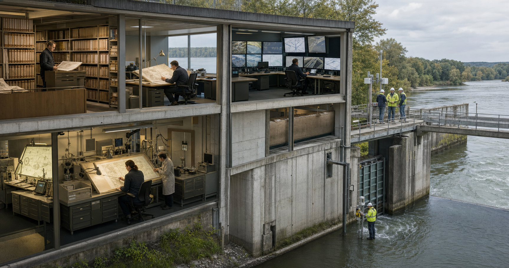
| Administration | Data exchange, the Permanent Indus Commission and graduated procedures for technical questions and disputes formed part of the treaty. | Information quality and institutional competence influence outcomes alongside physical infrastructure. |
The source says that the familiar 80-to-20 description is a shorthand based on average flows, not a literal division of river ownership. It reports Indian government assessments of approximately 33 million acre-feet annually in the eastern rivers and about 135 million acre-feet in the western rivers. These figures convey the bargain’s asymmetry, but the legal and strategic position cannot be understood from that ratio alone.
Legal rights become leverage only after construction
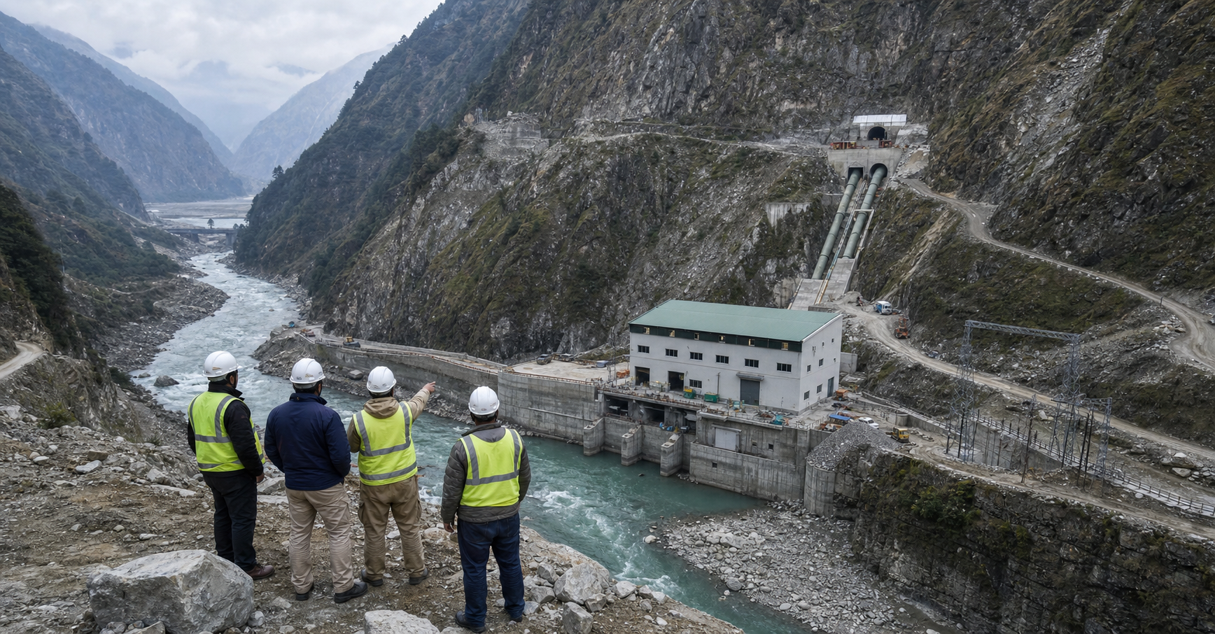
The most important distinction is between a right on paper and an operational option. A state may possess authority to store, divert, irrigate or generate electricity, yet remain unable to exercise it without surveyed sites, approved designs, financing, civil works, transmission links, operating expertise and sustained maintenance. Conversely, infrastructure without a defensible legal and technical basis can generate disputes without producing durable advantage.
The source reports that the treaty permitted India domestic and specified non-consumptive uses of the western rivers, agricultural use, run-of-river hydroelectric generation and bounded storage. It summarises the aggregate storage entitlement as 3.6 million acre-feet across general, power and flood-storage categories. It also reports permission for approximately 701,000 acres of additional irrigated cropped area, producing a commonly stated total ceiling of about 1.34 million acres. Hydroelectric development remained subject to detailed design and operating constraints involving such matters as intakes, outlets, spillways, pondage and operating levels.
These permissions did not grant unrestricted command over the western rivers. They nevertheless represented usable policy space. The source’s central institutional criticism is that successive governments did not develop all of that space with sufficient urgency. On this reading, Bharat’s reduced leverage arose from two connected choices: accepting a rigid and open-ended settlement, then failing to build enough of what the settlement still allowed.
This changes how strategic success should be measured. A dramatic announcement can alter diplomatic and administrative conduct, but it cannot substitute for dams, tunnels, canals, hydropower works or measurement networks. The source makes the same point regarding the treaty being placed in abeyance: such a move can have immediate legal and political effects, while its hydrological consequences remain bounded by the infrastructure already in place.
Water leverage requires evidence, not reservoir imagery
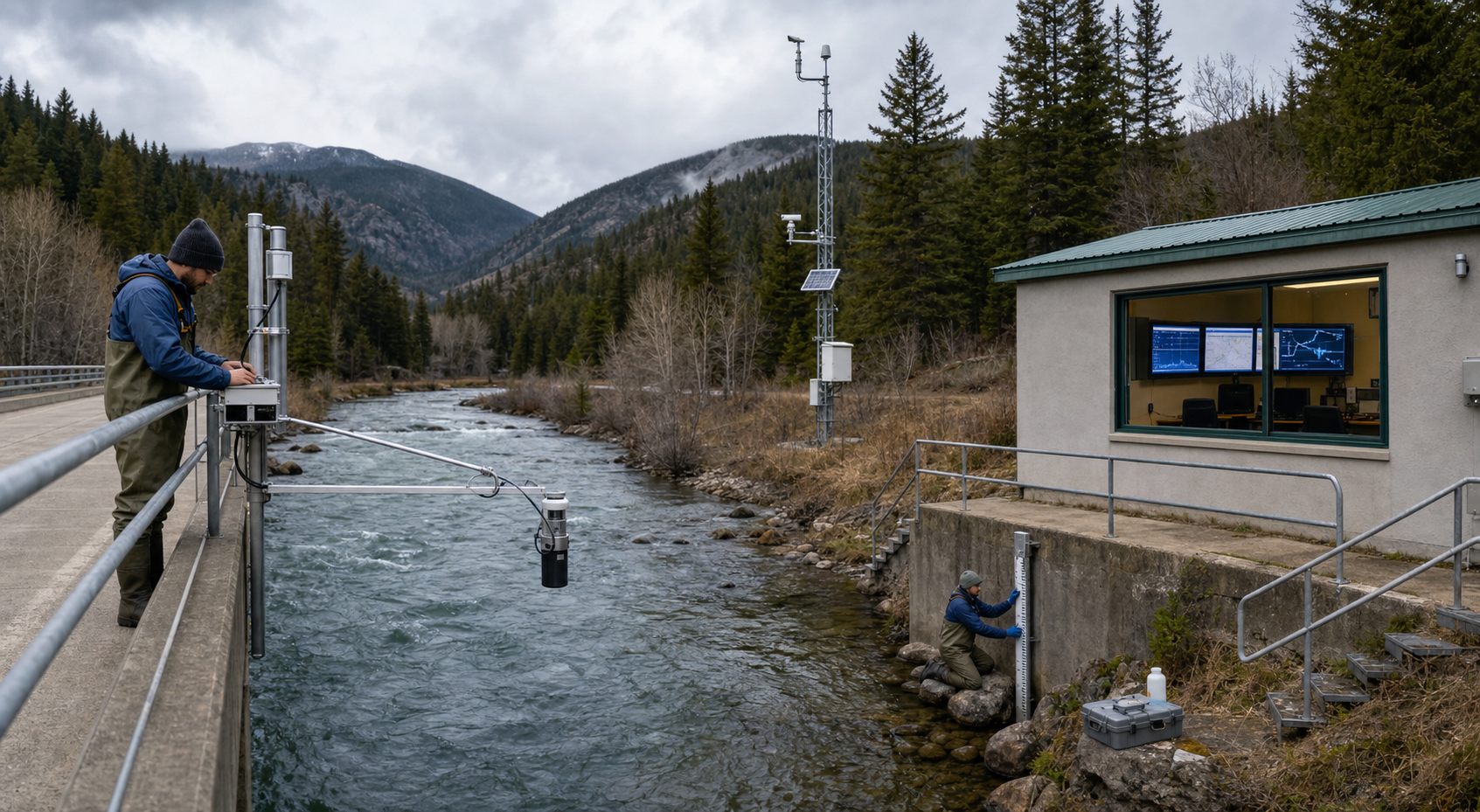
Public debate often treats a dry canal or an exposed reservoir margin as proof of deliberate upstream restriction. The source argues that the image establishes only a visible condition. Seasonal drawdown, limited rainfall, irrigation demand, sediment removal, maintenance closures and reservoir operations can produce similar appearances. Identifying the cause requires measurements and operating records rather than inference from a photograph.
The source illustrates the danger through an episode recounted by British politician H. A. Marquand during a House of Commons debate on 11 November 1960. Marquand reportedly recalled being shown an empty portion of Lahore’s Grand Canal in 1953 and hearing India blamed for it; later inquiries found that the canal had been closed for periodic cleaning. As the source notes, the episode demonstrates the atmosphere of suspicion surrounding water, not that every later Pakistani complaint must be false.
A serious causal assessment would need the image’s location and date, river-discharge measurements, historical storage patterns, rainfall and snowmelt information, canal-closure schedules, gate operations and evidence of upstream retention or diversion. The strategic importance of this standard runs in both directions. Unsupported accusations can internationalise a domestic management failure, while unsupported dismissals can obscure genuine scarcity.
The DharmaRenaissance article reports that Pakistani governments and security institutions have repeatedly framed downstream vulnerability in existential terms. It argues that this framing can attract diplomatic attention and divert scrutiny from storage, canal maintenance, groundwater regulation and agricultural policy inside Pakistan. Yet it also warns that a strategic narrative does not erase real water stress. Credible Indian communication therefore benefits from being narrower, documented and technically reproducible.
A capacity-centred strategy offers more durable leverage
Bharat’s strongest long-term position lies in converting lawful entitlements into reliable capability. On the eastern rivers, this means treating unrestricted use as a development responsibility rather than merely an allocation secured decades ago. On the western rivers, it means pursuing permitted storage, irrigation and hydropower through designs capable of surviving technical scrutiny.
Project execution is only one component. The source reports that Article VI required exchanges of data concerning flows, reservoirs, canal withdrawals and releases, while Article VIII established the Permanent Indus Commission. Article IX provided a graduated path from the commissioners to a Neutral Expert and, for matters classified as disputes, a Court of Arbitration. Those mechanisms can delay or complicate projects, but they also make hydrology, engineering records and institutional memory strategic assets.
The practical agenda is consequently broader than building additional concrete. It includes maintaining consistent basin data, retaining multidisciplinary expertise, preparing designs that anticipate foreseeable objections, coordinating agencies and preserving project knowledge across changes of government. State capacity is cumulative: every completed project, defensible dataset and experienced technical team expands the range of credible future choices.
Leverage should also be distinguished from collective punishment. The source emphasises that water stress affects food costs, rural debt, electricity, public health and migration across communities in the basin. A strategy aimed at correcting structural asymmetry can remain firm without treating farmers and families as instruments of bilateral coercion. Lawful utilisation, resilience and bargaining strength are more sustainable objectives than spectacle-driven claims of being able to turn rivers on or off.
From inherited constraint to strategic choice
The treaty debate will remain distorted as long as legal dissatisfaction is confused with physical control. The original bargain set restrictive boundaries, but later underdevelopment narrowed Bharat’s options further. Future leverage will be determined by whether the state can expand its real capabilities within every defensible entitlement, support its claims with transparent evidence and maintain policy continuity over the long life of river projects. That approach would turn water policy from episodic signalling into durable statecraft.