

Maharashtra’s fort-conservation challenge is not simply a contest between heritage and encroachment. It is a governance problem involving fragmented authority, uncertain boundaries, legal procedure, conservation expertise and the protection of entire historic landscapes.
The Kolhapur controversy shows what must happen after a protection policy is announced: district institutions need to be formed on time, fort-wise evidence must be assembled, lawful decisions must follow, and cleared land must remain protected. Examining those links reveals how accountability can be made practical rather than symbolic.
Key takeaways
- The supplied DharmaRenaissance Blog report says Kolhapur’s district committee was constituted approximately six months after a state directive, raising questions about implementation after the original deadlines had passed.
- Fort protection requires coordination among archaeological, revenue, forest, municipal, village, police and other authorities because ownership, legal status and present-day use can differ from site to site.
- Encroachment removal must rest on verified boundaries, complete records, reasoned orders and applicable legal powers; procedural care can make enforcement more durable.
- Conservation must extend beyond surviving walls to water systems, slopes, access routes, archaeological deposits, views and buffer areas that explain how a fort landscape functioned.
A deadline can expose the gap between policy and capacity
According to the supplied report, Maharashtra’s Tourism and Cultural Affairs Department issued a Government Resolution on 20 January 2025 directing district-level committees, chaired by collectors, to address encroachments at protected and unprotected forts. The report says the resolution recorded 47 centrally protected forts and 62 state-protected forts in Maharashtra.
The timetable described in the article was exacting. Committees were expected to prepare fort-wise encroachment lists by 31 January 2025, undertake removal work from 1 February through 31 May, meet monthly, report progress and prevent renewed occupation after a site was cleared. These requirements created measurable administrative duties rather than a general declaration of concern.
The same report presents the Kolhapur committee’s formation as occurring approximately six months after the state direction. Hindu Janajagruti Samiti welcomed the institutional mechanism but questioned both the reported delay and what it regarded as inadequate representation for experienced conservation groups. Those are advocacy claims reported by the source, not findings independently established here. Even so, the chronology raises a valid governance question: what work, if any, occurred during the interval, and how will missed milestones be recovered?
A committee order alone cannot answer that question. Implementation depends on district notifications, reliable land and monument records, field surveys, conservation assessment, statutory notices, police coordination, budgets and continuing supervision. A useful progress report would therefore distinguish among forts surveyed, boundaries verified, alleged occupations classified, notices issued, cases under adjudication, removals completed and locations protected against re-encroachment. Without that separation, activity can be mistaken for results.
Fragmented authority must be converted into one fort record
The source identifies Panhala, Vishalgad, Pavangad, Bhudargad, Samangad, Rangana and Pargad among Kolhapur district’s fortified sites. It also stresses that their ownership, protection status, terrain and current uses are not uniform. A suspected encroachment may involve centrally or state-protected land, while another may touch revenue, forest, municipal, village or private holdings.
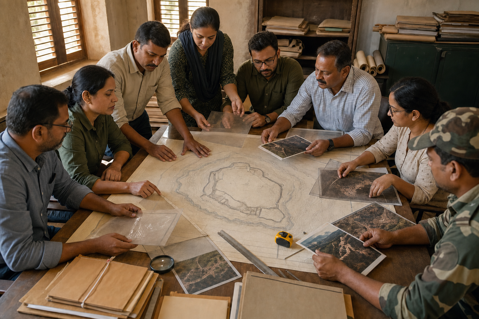
This administrative fragmentation makes a shared fort-wise record essential. Archaeological boundaries need to be read alongside land records, permissions, construction history, current occupation and any pending court directions. The record should also identify the agency empowered to investigate, issue an order, undertake conservation work and monitor the site afterward. Otherwise, responsibility can circulate between offices while the physical condition continues to deteriorate.
The unit of protection should be the historic landscape, not only visible masonry. As the article explains, a fort’s defensive logic can depend on slopes, escarpments, forests, water sources, approach routes, lookout points and visual relationships with other forts. Construction away from a wall may still alter drainage, disturb buried remains, obstruct an important sightline or damage the setting that makes the fort intelligible.
This distinction affects how surveys should be designed. A building-location map is not enough by itself; decision-makers also need a conservation assessment showing how occupation, excavation, utilities, traffic or altered water flow may affect archaeological fabric and the wider terrain. Combining legal and conservation evidence at the beginning can prevent an enforcement decision from solving one problem while creating another.
Enforcement must be swift, differentiated and defensible
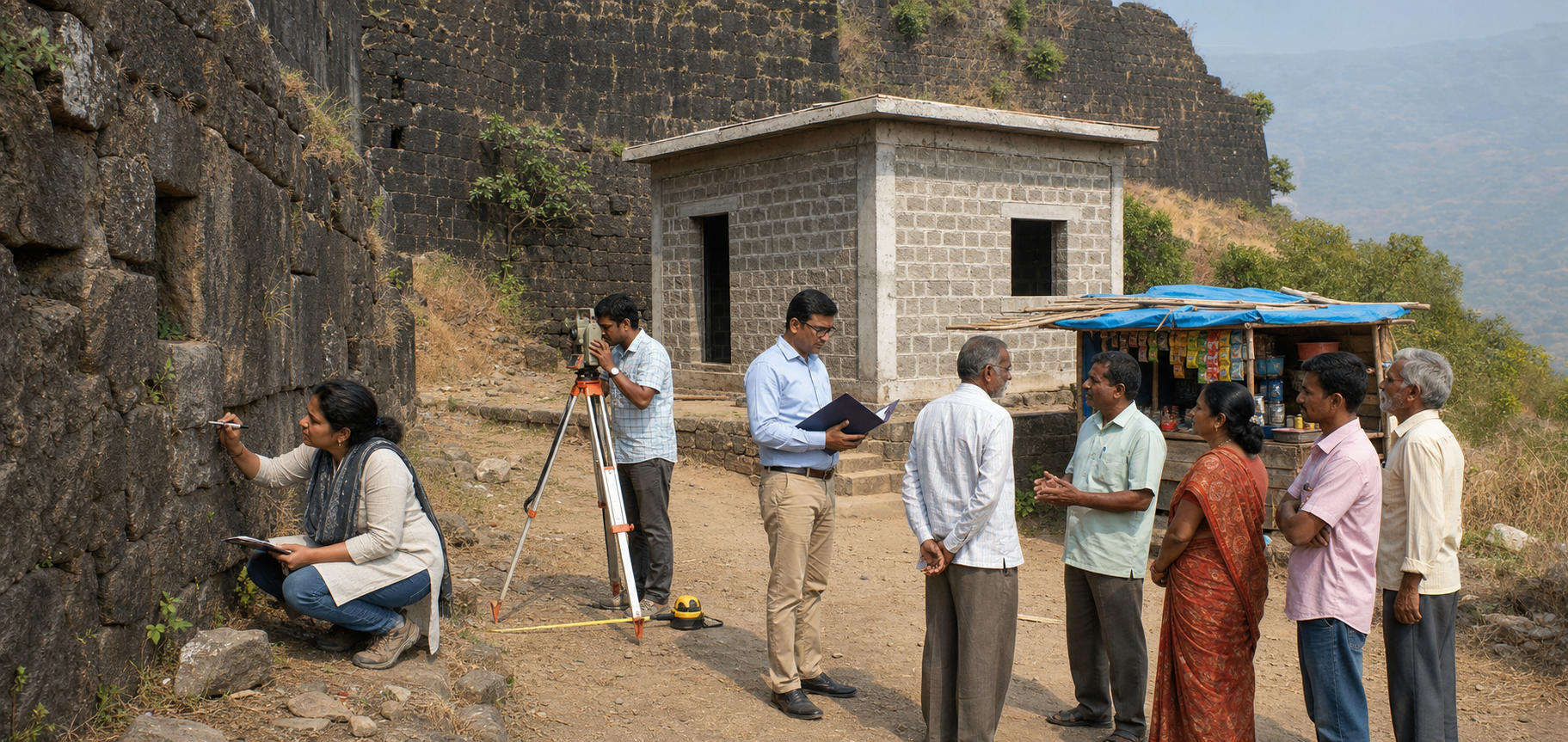
The word encroachment can conceal materially different cases. The supplied article says it may refer to commercial stalls, building extensions, houses lacking permission, religious or community structures, roads, parking areas, utility lines, fencing, cultivation, dumping or tourism facilities beyond approved limits. Some cases may be recent and well documented; others may involve long occupation, disputed boundaries, incomplete records or litigation.
A field survey can identify a structure or activity, but it does not by itself settle its legal status. A credible determination ordinarily requires confirmation of the boundary and custodian, examination of permissions, identification of the construction’s nature and timing, notice to affected parties, consideration of their documents and compliance with applicable judicial orders. Treating unlike cases as interchangeable may produce a fast announcement but a fragile outcome.
The source places this work within both national and Maharashtra heritage law. It specifically reports that Section 21 of the Maharashtra Ancient Monuments and Archaeological Sites and Remains Act, 1960 restricts construction, mining, quarrying, excavation, blasting and related activity in a protected area without state permission. According to the article, the provision also allows the state to order removal of a building erected in violation and permits the Collector to act after non-compliance, with costs recoverable from the responsible person.
Strong statutory power makes documentation more important, not less. The responsible authority should disclose the basis of an allegation, provide a meaningful opportunity to submit relevant records and decide objections through a reasoned order. Accurate maps and complete files can shorten disputes by clarifying the actual issue. Due process is therefore part of effective conservation: it supports action that can withstand scrutiny and reduces the risk that procedural defects will delay protection.
World Heritage recognition raises the management standard

The article reports that UNESCO inscribed the Maratha Military Landscapes of India on the World Heritage List in 2025 as a serial property comprising 12 fortifications, including Panhala in Kolhapur district. It describes UNESCO’s assessment as recognizing an integrated defence system in which terrain, architecture and military planning worked together.
According to the source’s account of the World Heritage decision, the management implications include regular maintenance, stronger handling of buffer zones and advance assessment of major projects that could affect the property’s recognized value. This does not replace domestic law or district administration. It makes their performance more consequential, particularly where development or visitor infrastructure may affect both a monument and its setting.
Public participation can improve that performance when its role is clearly defined. Conservation organizations can contribute site knowledge, historical documentation and monitoring, while statutory authorities retain responsibility for legal findings and enforcement. Residents, vendors, worshippers and other users can provide evidence about occupation and use, but consultation cannot substitute for a lawful decision. Transparent membership, recorded meetings and published fort-wise progress would help distinguish expert contribution from informal influence.
The next test for Maharashtra is whether its committees become durable management institutions rather than temporary responses to controversy. A verified baseline for each fort, public reporting against missed and future milestones, conservation-led project review and monitoring after clearance would turn accountability into an operating system for heritage protection.