
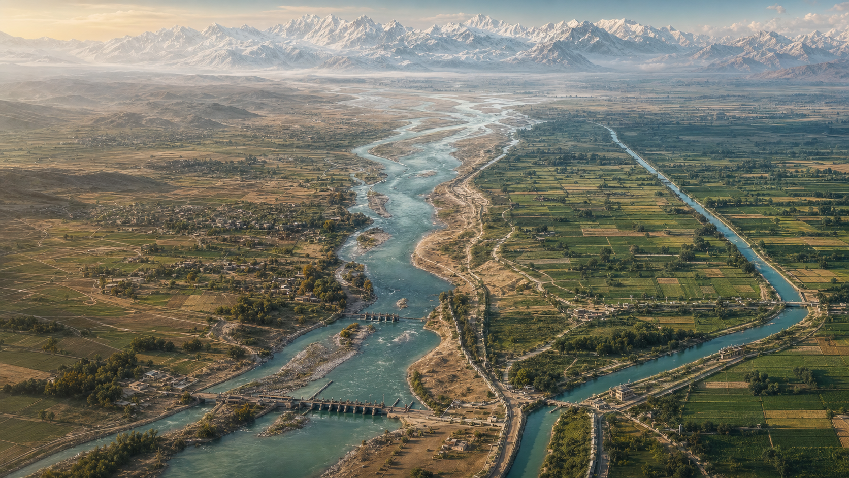
The central difficulty of the Indus Waters Treaty is easy to state but hard to resolve: a connected river basin was inherited by two states whose security interests, infrastructure and political relations had become divided. The treaty addressed that contradiction by allocating rivers and regulating permitted uses, but it could not erase the basin’s underlying interdependence.
Understanding the arrangement therefore requires more than reading its legal provisions. The supplied DharmaRenaissance account places the treaty within a longer history of urban water management, colonial canal construction, Partition-era vulnerability and changing environmental conditions. Taken together, these layers explain both the treaty’s durability and its limitations.
The basin existed long before its international borders
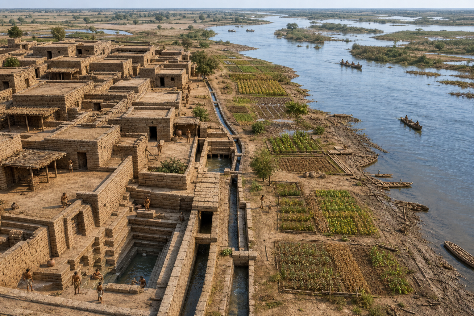
The Indus system first appears in the supplied account not as a diplomatic problem but as civilisational infrastructure. Harappa, Mohenjo-daro, Dholavira, Rakhigarhi and related settlements are presented as evidence that water shaped public organisation as well as subsistence. Their wells, drains, bathing areas, reservoirs, granaries and planned streets reflected the collective management of water within sophisticated urban communities.
This historical frame changes how the modern dispute is understood. The rivers supported settlement, farming, trade and social life across areas that would eventually fall within different political jurisdictions. Their channels also connected Himalayan and trans-Himalayan headwaters with plains farther southwest. Borders could divide territory, but they could not make river flow, seasonal variation or downstream dependence conform neatly to political geography.
The article also attaches an ethical dimension to this history. Within Indic traditions, rivers carry associations with duty, memory, agriculture, pilgrimage and sacred geography. That perspective does not substitute for engineering or law. It does, however, widen the policy question: water governance concerns the continuity of communities and landscapes, not merely the distribution of a measurable commodity.
Colonial canals deepened both productivity and dependence
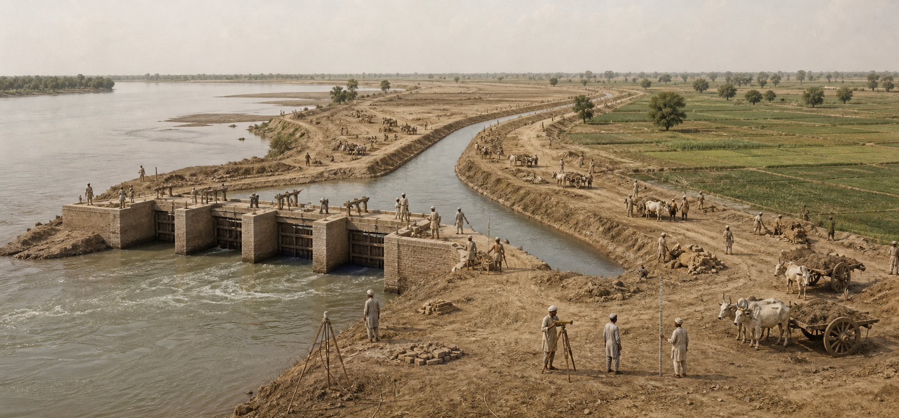
According to the supplied account, British rule transformed the basin through an extensive canal-irrigation network. It identifies the Upper Bari Doab Canal, Lower Chenab Canal, Triple Canals Project and Sutlej Valley Project among the works that helped convert semi-arid areas into intensively cultivated zones. Cotton, wheat and other crops expanded as water engineering became closely tied to revenue collection, settlement policy, agricultural output and military recruitment.
The engineering achievement and the political purpose cannot be separated. Canals supported production, but they also reorganised landholding and created command areas dependent upon particular headworks and diversion systems. The resulting network functioned across administrative boundaries because it had been designed within a single empire. It had not been built to accommodate two mutually distrustful sovereign states.
This is the crucial bridge between ancient water history and modern diplomacy. Earlier communities had adapted social organisation to a shared hydraulic environment; colonial authorities then enlarged and centralised that environment through infrastructure. By the time political division arrived, water dependence was embedded not only in rivers but also in canals, farms, settlements and state revenue systems.
Partition converted hydraulic dependence into strategic exposure
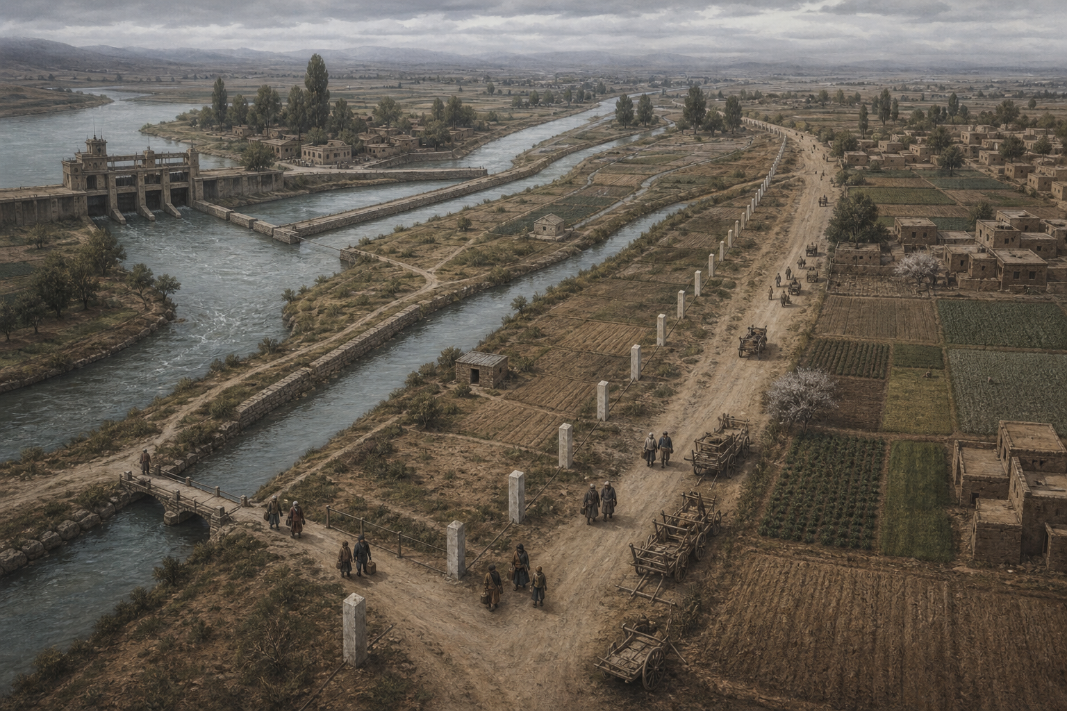
The supplied article reports that Partition in 1947 split the operating logic of the irrigation system. Important headworks remained in India while canal command areas dependent on them lay in Pakistan. It highlights the Madhopur headworks on the Ravi and the Ferozepur headworks on the Sutlej as examples of a broader structural problem: control over an upstream installation and reliance upon its releases could now belong to different states.
The dispute became immediate in April 1948, the account says, when supplies from eastern-river headworks to certain Pakistani canals were interrupted after temporary standstill arrangements expired. Pakistan interpreted upstream control as a source of vulnerability. India faced a different question: whether its sovereignty could remain constrained indefinitely by canal arrangements inherited from the colonial period.
These positions were not mirror images, but they arose from the same infrastructure. Downstream dependence encouraged demands for predictable flow, while upstream sovereignty created claims over control and development. Water had consequently become an issue of statehood and security as well as irrigation. Any settlement had to reduce immediate uncertainty without requiring either side to trust the other with fully integrated management.
The treaty created clarity by partitioning the river system
The DharmaRenaissance account reports that the Indus Waters Treaty was signed in 1960 after nine years of negotiations involving India and Pakistan, with the World Bank becoming a signatory in a limited procedural role. Instead of establishing comprehensive joint management, the settlement divided the six principal rivers into eastern and western groups.
| River group | Rivers | Primary allocation reported by the source |
|---|---|---|
| Western rivers | Indus, Jhelum and Chenab | Primarily allocated to Pakistan, with specified Indian uses permitted |
| Eastern rivers | Ravi, Beas and Sutlej | Primarily allocated to India |
The account notes that India retained permitted uses on the western rivers, particularly non-consumptive uses such as hydropower subject to technical design conditions. Pakistan, meanwhile, received a transition period and replacement works intended to shift canals previously dependent on eastern rivers toward supplies from western rivers through dams, barrages and link canals.
This design reveals the treaty’s governing compromise. Politically, separating the river groups reduced the number of routine decisions that required joint consent. Legally, rules on permitted uses and infrastructure created identifiable obligations. Hydrologically, however, the settlement imposed separate jurisdictions upon a naturally connected basin. Questions about storage, release timing and project design therefore remained strategically sensitive even after the broad allocation had been settled.
The treaty also established the Permanent Indus Commission, with a commissioner from each country, for communication, information exchange, inspections and the handling of disagreements. The supplied article describes layered procedures for questions, differences and disputes, including recourse in appropriate cases to a Neutral Expert or a Court of Arbitration. Such mechanisms help explain the framework’s endurance: they provide technical channels through which contested projects can be discussed without every disagreement beginning as an unrestricted political confrontation.
Durability now depends on adaptation as well as allocation
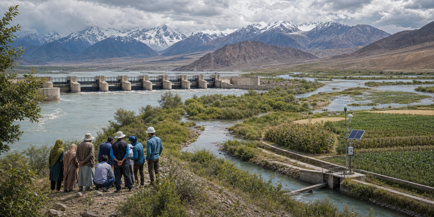
Longevity does not mean that the original bargain anticipated every later pressure. The supplied account observes that the treaty predates contemporary climate science, current concern over glacial change, the modern scale of hydropower demand, widespread groundwater stress and the altered security environment created by terrorism and hybrid conflict. These pressures affect different parts of the framework, but they share a common consequence: they increase the importance of reliable information, institutional communication and confidence in how infrastructure will operate.
Climate pressure is especially difficult because a legal allocation cannot guarantee a stable water regime. The article describes the basin as dependent upon a combination of glacier- and snow-fed flows, winter precipitation and monsoon dynamics. Changes in the timing of those inputs may affect irrigation schedules, flood exposure, reservoir planning, sediment management and hydropower generation. Farmers experience such shifts through sowing choices, crop security, debt risk and the resilience of village economies.
The longer history supplies a caution without offering a simple historical analogy. The source says archaeological and environmental research increasingly connects changes in rainfall and river behaviour with shifts in Harappan settlement patterns. Its larger lesson is that sophisticated institutions still have to adapt when the water regime supporting them changes. Modern engineering may enlarge the available options, but it does not remove the need for institutional flexibility.
Key takeaways
- The Indus dispute grew from a mismatch between an interconnected basin and political borders imposed across its rivers, headworks and canal command areas.
- Colonial irrigation expanded agricultural capacity while creating infrastructure dependencies that became strategically contentious after Partition.
- The 1960 treaty reduced uncertainty by dividing the main rivers, permitting defined uses and creating procedures for technical and legal disagreements.
- Climate variability, infrastructure development and security tensions place new demands on a framework designed for an earlier era.
The treaty’s future relevance will depend on whether its procedural strengths can support adaptation without allowing technical disagreements to become substitutes for political dialogue. A basin shaped by centuries of shared dependence will require attention not only to legal entitlement, but also to changing flow patterns, agricultural resilience and the institutions that keep communication possible during periods of mistrust.