
You may know the names of Bharat’s dynasties and still struggle to read an old harbour, a carved ship, or a coastal trading town. That gap matters. If you treat the sea as the edge of Indian history, you miss the system that connected artisans, warriors, merchants, pilgrims, migrants, and families across several regions of the world.
You can make that history legible by asking four questions: Which winds governed movement? What cargo paid for the voyage? What evidence survives on land? How did the route continue after its original trade changed? These questions turn maritime heritage from a vague celebration into something you can investigate at a port, museum, monument, family archive, or classroom.
Begin with the monsoon, not the empire
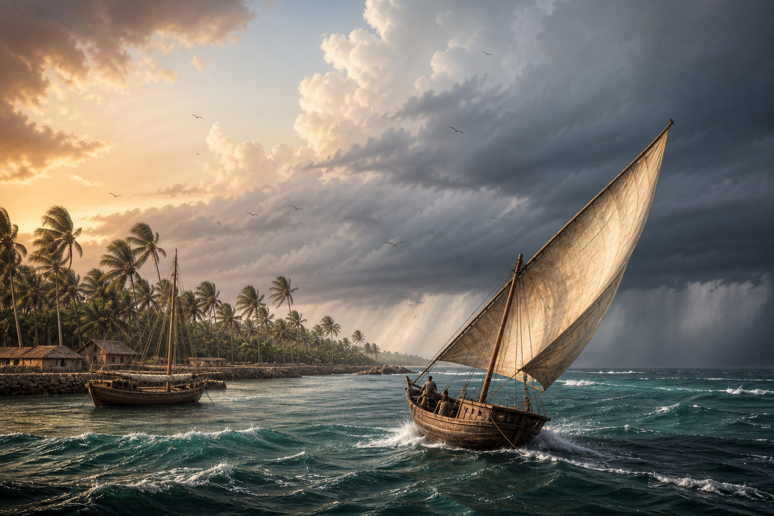
A conventional map encourages you to see an ocean route as a fixed line between two ports. A sailor saw something more demanding: a journey divided into seasonal windows. In the western Indian Ocean, the southwest monsoon generally carried traffic from Africa and Arabia toward India from May through August, weakening by September. From November through March, the northeast monsoon enabled movement back toward the Gulf and beyond.
| Period | Wind pattern | What it means when reading a route |
|---|---|---|
| May-August | Southwest monsoon | Traffic could move from Africa and Arabia toward the Indian coast. |
| September | Southwest monsoon wanes | Do not treat the entire month as equivalent to the main outbound season. |
| November-March | Northeast monsoon | The wind regime reversed, supporting return movement toward the Gulf and beyond. |
The vessel mattered as much as the wind. Lateen-rigged dhows could sail approximately 55 to 60 degrees from the wind. They were therefore not restricted to drifting directly downwind; their sail geometry allowed comparatively direct passages between southern Arabia and the Malabar coast.
This changes how you should evaluate any account of Indian Ocean travel. Look for an outbound season, a return season, the vessel’s sailing ability, and the possibility of waiting at a port. A route drawn without dates hides the main operating constraint. It also hides one reason ports became sustained meeting places: crews and merchants moved according to a recurring environmental calendar, not an on-demand timetable.
Follow the cargo until it changes another society
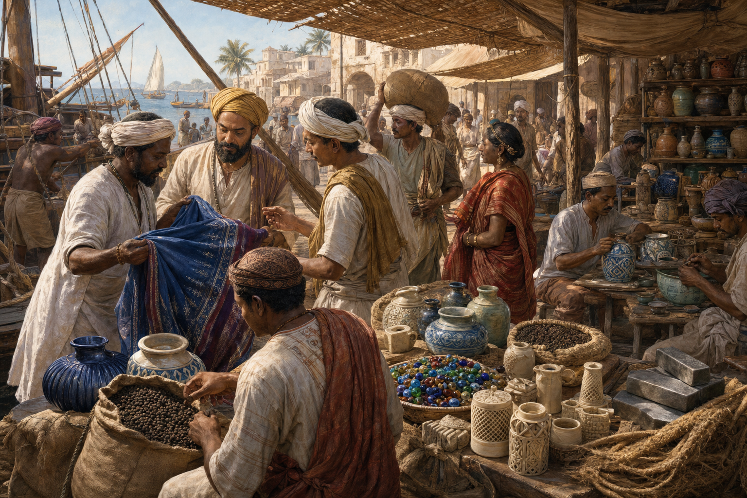
Lists of spices, cloth, metals, and jewels do not explain a trading system. Choose one commodity and follow it from production to political consequence. Indian cotton provides an unusually clear example.
Calico took its global name from Calicut, the European rendering of Kozhikode on the Malabar coast. Yet the cloth’s importance began before it reached that port. Indian artisans had solved a difficult technical problem: cotton does not readily hold many dyes. Their process combined bleaching in soured milk, treatment with protein-rich materials, and mineral mordants to produce durable reds, oranges, and yellows. The export was therefore not raw fibre alone. It embodied agricultural knowledge, chemical skill, design, and specialised labour.
The scale and longevity of demand were substantial. Strabo recorded roughly 120 ships sailing annually from Roman Egypt to India’s southwestern coast, carrying gold and silver in exchange for cottons, jewellery, spices, and other goods. By around 1000 CE, Muslim merchants increasingly handled maritime commerce, Hindu weaving communities retained a major role in inland production, and Jewish merchants also participated in littoral networks. The system worked through specialised communities rather than through a single religious or political bloc.
European demand later turned cloth into an instrument of institutional and industrial change. The English East India Company began importing calico from Calicut in 1631. By 1670, cotton goods represented more than half of its imports; by the middle of the 1680s, calico and chintz accounted for about 86 percent of its Indian trade. English wool interests responded with protectionist pressure, while industrial manufacture eventually allowed cheaper factory cloth to damage the Indian handloom economy that had created the original demand.
When you investigate a maritime commodity, trace five links in order: the production technique, the inland route, the export port, the intermediaries, and the reaction in the destination market. If a museum label begins with a European company, move one step backward to the Indian loom, workshop, farm, or mine. If it ends when a ship docks, move one step forward to fashion, finance, legislation, industrial imitation, or resistance. That full chain reveals how Bharat influenced the world without reducing the story to either conquest or passive exchange.
Read Eksar’s viragals as evidence, not decoration
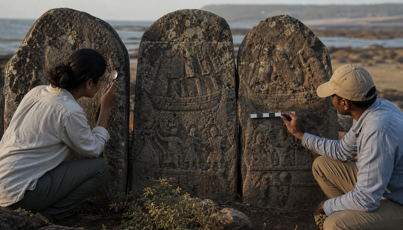
Some of Bharat’s most revealing maritime evidence survives far from a working dock. Six hero stones, or viragals, are housed in the Club Aquaria compound at Eksar in Borivali West, Mumbai. Scholars including Moti Chandra, Braz Fernandes, and A. S. Altekar have dated them mainly to the eleventh century. Their carved registers preserve ships, oars, masts, weapons, combatants, royal figures, ritual worship, and celestial scenes.
Use a disciplined three-pass method when reading such a monument. First, inventory only what is visibly carved. Second, establish the sequence of the panels. Third, compare that sequence with the regional history. Keeping these passes separate prevents a compelling picture from becoming a more precise historical claim than the surviving evidence can support.
- Record the physical details. Count ships, masts, oars, crews, weapons, fallen figures, canopies, animals, and ritual objects. Note which way vessels appear to move and whether one is larger or differently marked.
- Read the registers as a narrative. Do not isolate the naval scene from the panels above it. Follow the movement from departure or battle to return, reception, worship, and celestial honour.
- Add names and dates cautiously. An unreadable inscription or uncertain identification should remain uncertain. Regional context can narrow possibilities without proving that every stone belongs to one named battle.
The third viragal demonstrates the value of this approach. Its lowest panel contains five mast-fitted ships, with nine oars visible on one side. In the next register, four ships attack a larger vessel as sailors fall into the water. An inscription survives above the scene but is no longer decipherable. The observable evidence establishes organised naval combat; it does not, by itself, supply the names of the commanders.
The fourth viragal preserves an even longer operational sequence. Eleven armed ships attack another vessel. Five ships then advance against a ship whose wounded crew falls into the sea. Nine vessels return, soldiers disembark, an army marches, and a dignitary receives the force. Higher registers shift into linga worship, music, celestial figures, and a heavenly Siva temple. The monument records more than a clash at sea. It remembers mobilisation, combat, return, public reception, ritual meaning, and the fate of the warrior.
The regional backdrop includes several contests for the Konkan coast and the valuable port of Sopara, about 38 kilometres from Eksar. In 1019, Paramara Bhoja defeated the Shilahara ruler Arikesari in a campaign with a naval dimension. A twelfth-century conflict brought the Kadambas of Gopakapattana into battle with the Shilaharas of North Konkan near Sopara. In 1265, the last Shilahara ruler, Someshvara, fought the Sevuna monarch Mahadeva and died in the sea. Because details of some engagements are sparse and inscriptions on the stones are unreadable, these events should frame interpretation rather than be forced into a one-to-one identification.
The upper panels also require precision. Apsaras, Gandharvas, the Sivalinga, Siva and Parvati on Kailasa, and bone-relic caskets place death within a sacred order. The iconography at Eksar is explicitly Shaiva even when its concern with duty, sacrifice, memory, and transcendence resonates across the wider Dharmic family. Calling the stones merely naval illustrations strips away half their meaning; calling them only religious objects erases the ships, tactics, crews, and political struggle carved beneath the celestial registers.
See continuity without pretending nothing changed
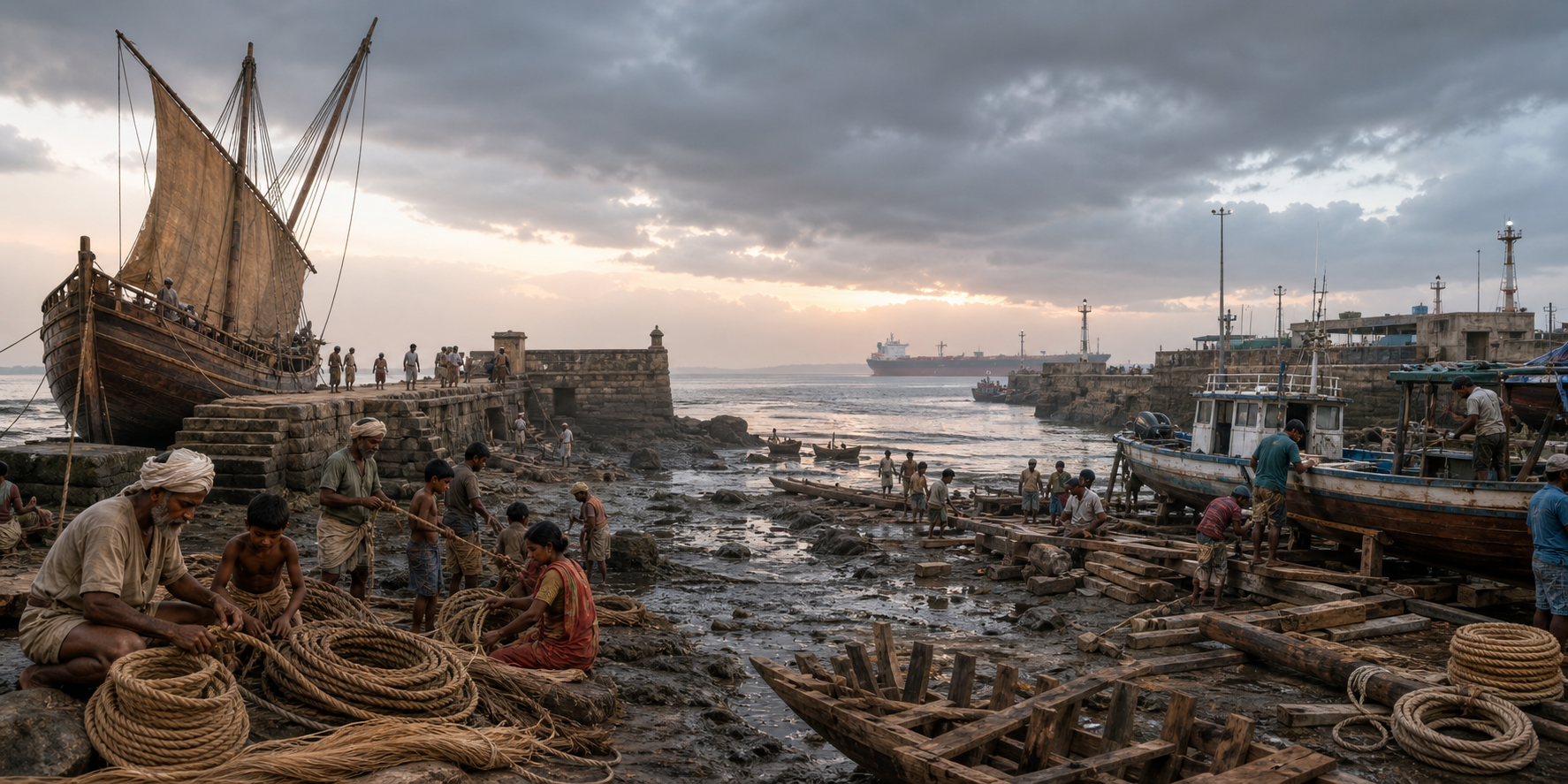
A maritime route can survive while its passengers, cargo, and social meaning change. The Arabian Sea passages that once carried spices and textiles later carried Malayali workers seeking livelihoods in the Gulf. In the late 1950s and around 1960, some migrants travelled by dhow from Kerala toward places such as Khor Fakkan in the United Arab Emirates.
Do not flatten those journeys into either romantic adventure or enslavement. They were voluntary crossings undertaken under economic pressure, often toward harsh, low-wage conditions resembling indenture-style labour. Families depended on remittances, while travellers depended on sailing knowledge, community connections, and the same broad seasonal wind system that had structured older commerce.
The Malayalam film Pathemari gives this transition a human scale through Narayanan’s voyage and the sacrifices of early Gulf Malayalis. Use it as an entry point for family or community inquiry. Ask an older relative or community member for the departure port, destination, approximate season, type of vessel, work arrangement, and method used to send money home. Record what the person remembers and distinguish direct memory from family retelling. Those six details can turn a general migration story into a usable local archive without asking anyone to embellish what has been forgotten.
This is the right way to speak about continuity: the sea lane remained available, accumulated knowledge still mattered, and coastal communities reused old connections for new needs. The experience itself was not unchanged. A spice merchant, a naval warrior, and a twentieth-century labour migrant occupied different legal, economic, and moral worlds even when they crossed the same water.
Key takeaways for reading maritime Bharat
- Put the monsoon calendar before the route map. Direction, timing, waiting, and return travel are part of the route.
- Follow a commodity from technical production to political consequence. Calico connects Indian dye knowledge to ports, mercantile cooperation, European fashion, protectionism, and industrial disruption.
- Separate observation from identification at monuments. Count what is carved before attaching a dynasty, battle, or date.
- Read every register of a viragal. At Eksar, ships and combat belong to the same narrative as worship, Kailasa, and celestial honour.
- Treat living memory as evidence with limits. Record ports, seasons, vessels, work, and remittances while clearly marking what is remembered and what is inferred.
Choose one coastal place you can investigate: Eksar, Sopara, Kozhikode, a Kerala departure port, or a port named in your family’s history. Build a single-page record with its wind season, principal cargo or passengers, surviving material evidence, and one unresolved question. That modest exercise will show you more of Bharat’s maritime inheritance than another map covered in undated arrows.
References
- DharmaRenaissance Blog — Discover Eksar’s Viragals: A Complete, Proven Guide to Mumbai’s Forgotten Naval Heritage
- Varnam — Discover the Proven Monsoon Secrets Behind Dhows to Khor Fakkan: Kerala’s Gulf Breakthrough
- Varnam — Calico’s Secret Journey: Discover How Indian Cotton Shaped Empires and Caribbean Piracy
