
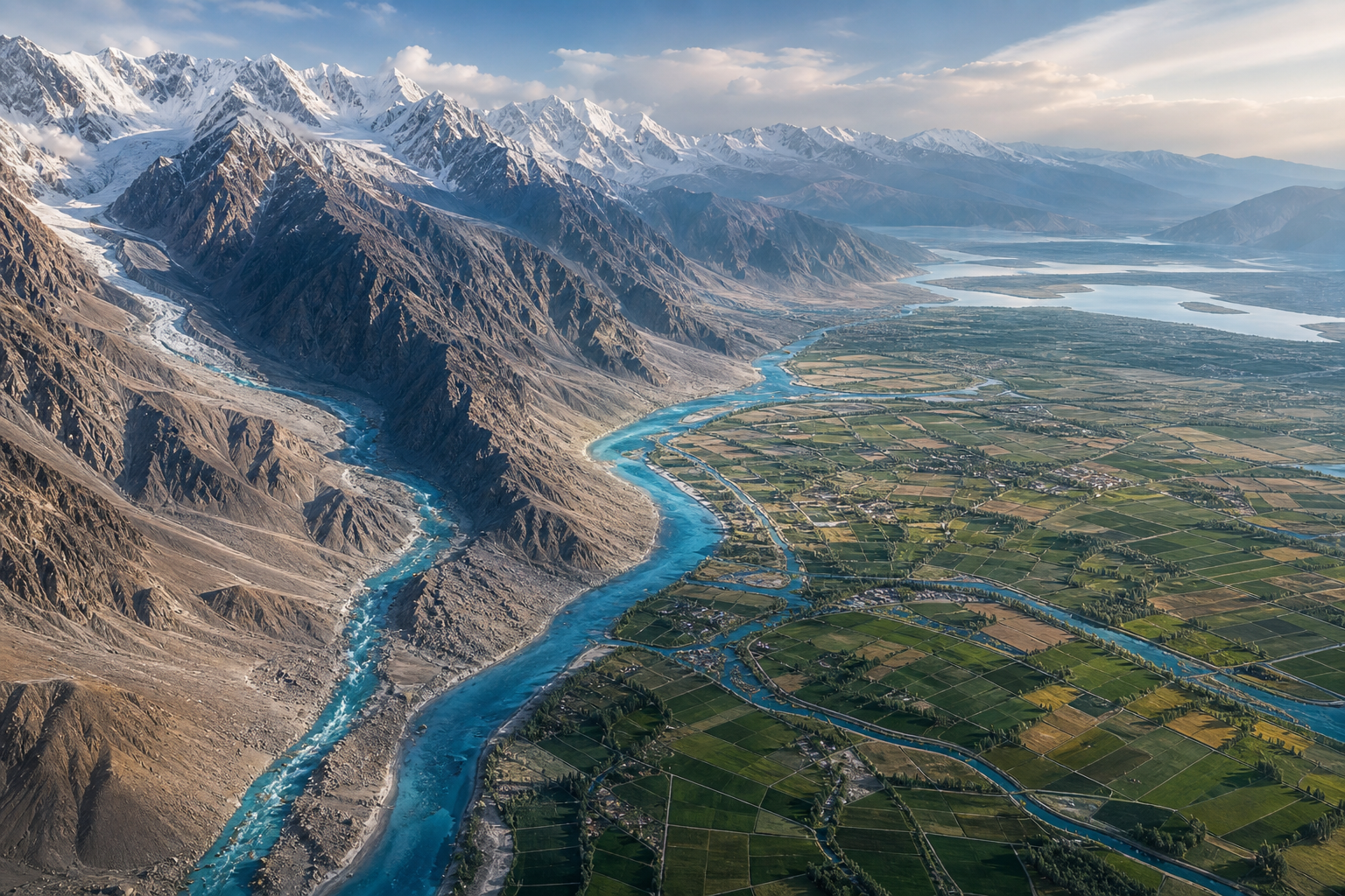
The Indus Waters Treaty is frequently judged by one dramatic fact: it continued operating through wars and prolonged hostility between India and Pakistan. The supplied DharmaRenaissance Blog article shows why that record matters, but also why institutional survival is too narrow a measure of success.
A more useful assessment separates three questions: what the treaty accomplished in 1960, how its procedures manage continuing disputes, and whether its original design can accommodate present-day developmental, environmental and security pressures.
Surviving conflict was an achievement, not a final verdict
According to the supplied article, India, Pakistan and the International Bank for Reconstruction and Development signed the treaty in Karachi on 19 September 1960, with effect from 1 April of that year. Its durability is unusual: the article reports that the framework remained in operation through the wars of 1965 and 1971, the 1999 Kargil conflict, terrorism-related crises and extended periods of broken or hostile diplomacy.
That continuity had practical content. The article describes commissioners continuing to meet, information being exchanged, objections being presented and formal procedures remaining available even when the wider bilateral relationship was severely strained. In this limited but important sense, the treaty prevented every political crisis from automatically becoming a water crisis.
Endurance, however, answers only whether the arrangement remained intact. It does not establish that the distribution is equitable, that permitted development can proceed without excessive delay, or that the rules remain suitable for changing river conditions. A treaty can reduce the danger of abrupt disruption while still accumulating grievances that its original bargain did not resolve.
The 1960 bargain divided rivers more neatly than the basin
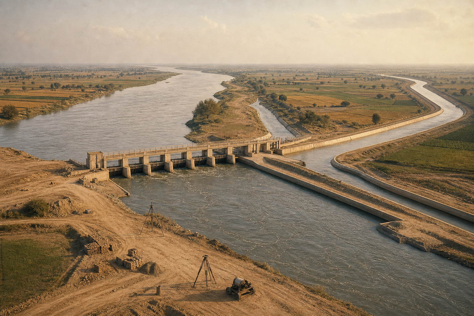
The article describes the treaty’s central allocation as a division between the eastern rivers – Ravi, Beas and Sutlej – assigned primarily to India, and the western rivers – Indus, Jhelum and Chenab – assigned primarily to Pakistan. India retained specified uses on the western rivers, including domestic and non-consumptive uses, limited agricultural use and run-of-river hydropower governed by detailed design conditions.
This structure addressed a problem inherited from Partition: river sources and canal headworks could lie on one side of the new border while irrigated command areas lay on the other. The source portrays the resulting settlement as a product of risk management and hard bargaining rather than political trust. Pakistan received time and infrastructure support to replace eastern-river supplies, while India provided transitional deliveries and, as reported by the article, a fixed contribution of 62.06 million pounds sterling toward replacement works.
The legal division created predictability, but the physical system remained interconnected. Snowfields, glaciers, seasonal precipitation, sediment, reservoirs, canals, power facilities and farms do not operate as isolated eastern and western compartments. This is the treaty’s basic tension: a comparatively clear allocation had to govern a basin whose hydrology and infrastructure continually cross administrative categories.
The supplied account gives particular weight to India’s position as the upstream state on relevant stretches. It argues that restrictions on storage, irrigation and hydropower affect development in Jammu and Kashmir even where western-river waters pass through Indian territory. Pakistan’s corresponding concern, as presented in the article, is that upstream works could affect a river system on which its agriculture remains deeply dependent. The same engineering project can therefore be viewed as an exercise of treaty-permitted rights by one side and as a downstream risk requiring close scrutiny by the other.
Dispute procedures both contain and prolong the friction
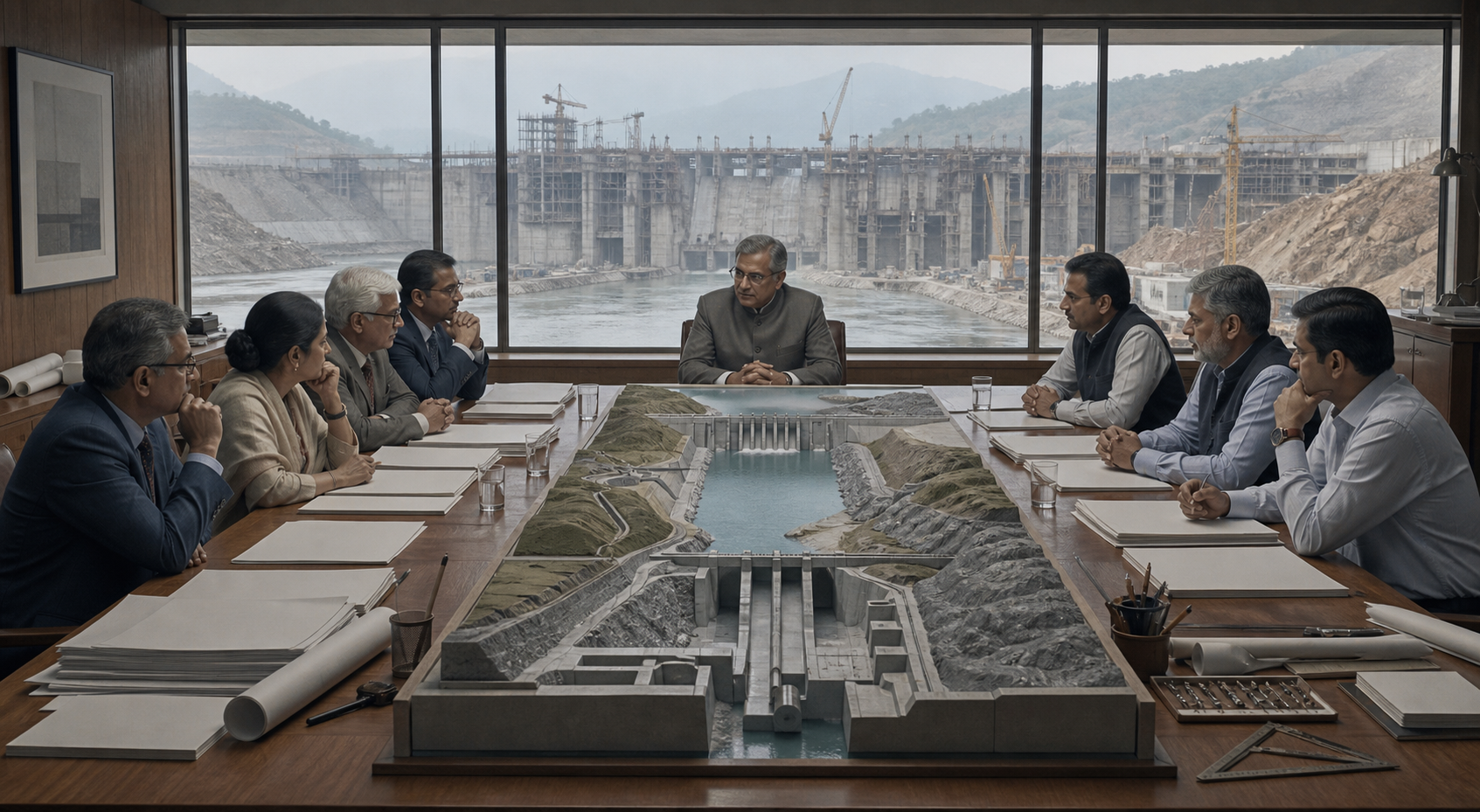
The Permanent Indus Commission is described in the source as the treaty’s operational centre. With a commissioner appointed by each country, it provides for data exchange, inspections and discussion before a technical question becomes a more formal difference or dispute. This institutional ladder can slow escalation and keep disagreements within recognizable rules.
The same process can also become a field of strategic contest. The article identifies Salal, Baglihar, Kishanganga, Ratle and the Tulbul or Wullar navigation issue as projects or questions that acquired significance beyond engineering. It reports that Baglihar went before a Neutral Expert, Kishanganga was considered in arbitral proceedings, and later disagreements concerning Ratle and Kishanganga produced parallel tracks involving a Neutral Expert and a Court of Arbitration after the two countries sought different mechanisms.
These examples expose a structural trade-off. Detailed design rules allow objections to be examined without an immediate political confrontation, yet they also create numerous points at which construction can be challenged. If the parties treat procedure principally as a means of delay or pressure, the dispute system may preserve the treaty while weakening confidence in what its permitted rights mean in practice.
The article also emphasizes the limits of third-party involvement. It characterizes the World Bank’s continuing function as procedural: helping with appointments contemplated by the treaty does not give it authority to rewrite the bargain, settle the political relationship or create mutual trust. External machinery can administer a process, but it cannot substitute for agreement on how that process should be used.
Key takeaways
- The treaty’s operation through armed conflicts demonstrates institutional resilience, but resilience alone does not prove equity or contemporary adequacy.
- Its river allocation supplied legal predictability while leaving an interconnected basin subject to sharply different upstream and downstream interests.
- The dispute framework can prevent rapid escalation, although repeated design challenges may also delay the exercise of rights that the treaty formally permits.
- Climate variability, changing development needs and security tensions test assumptions embedded in a settlement designed in a different era.
The harder test is adaptation without uncontrolled disruption
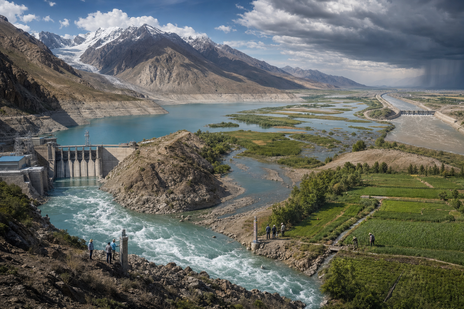
The source argues that climate change, glacial instability, population growth, renewable-energy requirements and the security environment were not adequately anticipated by the original framework. Its climate discussion is especially important because water stress is not solely a question of annual volume. Excess flow at the wrong time can intensify flood dangers, while insufficient flow during a critical period can harm agriculture, drinking-water systems and power generation.
This changes the standard by which the treaty should be examined. Allocation remains essential, but effective river governance also depends on the timing and reliability of information, the ability to plan for hydrological volatility, and procedures capable of distinguishing legitimate technical scrutiny from routine obstruction. Developmental questions in Indian-administered upstream areas and Pakistan’s downstream agricultural exposure cannot be reduced to a single narrative of entitlement or vulnerability.
The supplied article ultimately presents the treaty as a compromise sustained partly because breakdown would be dangerous, not because every party regards the arrangement as satisfactory. That distinction points toward the next phase of debate. The practical objective is neither to romanticize an agreement because it survived wars nor to ignore the risks of destabilizing a shared river system. It is to determine whether established channels can support clearer, faster and more adaptive management while preserving predictability for communities on both sides.
The treaty’s future credibility will therefore depend less on its past longevity than on whether India and Pakistan can make its institutions responsive to changing water conditions without turning every proposed adjustment into another arena of geopolitical confrontation.