
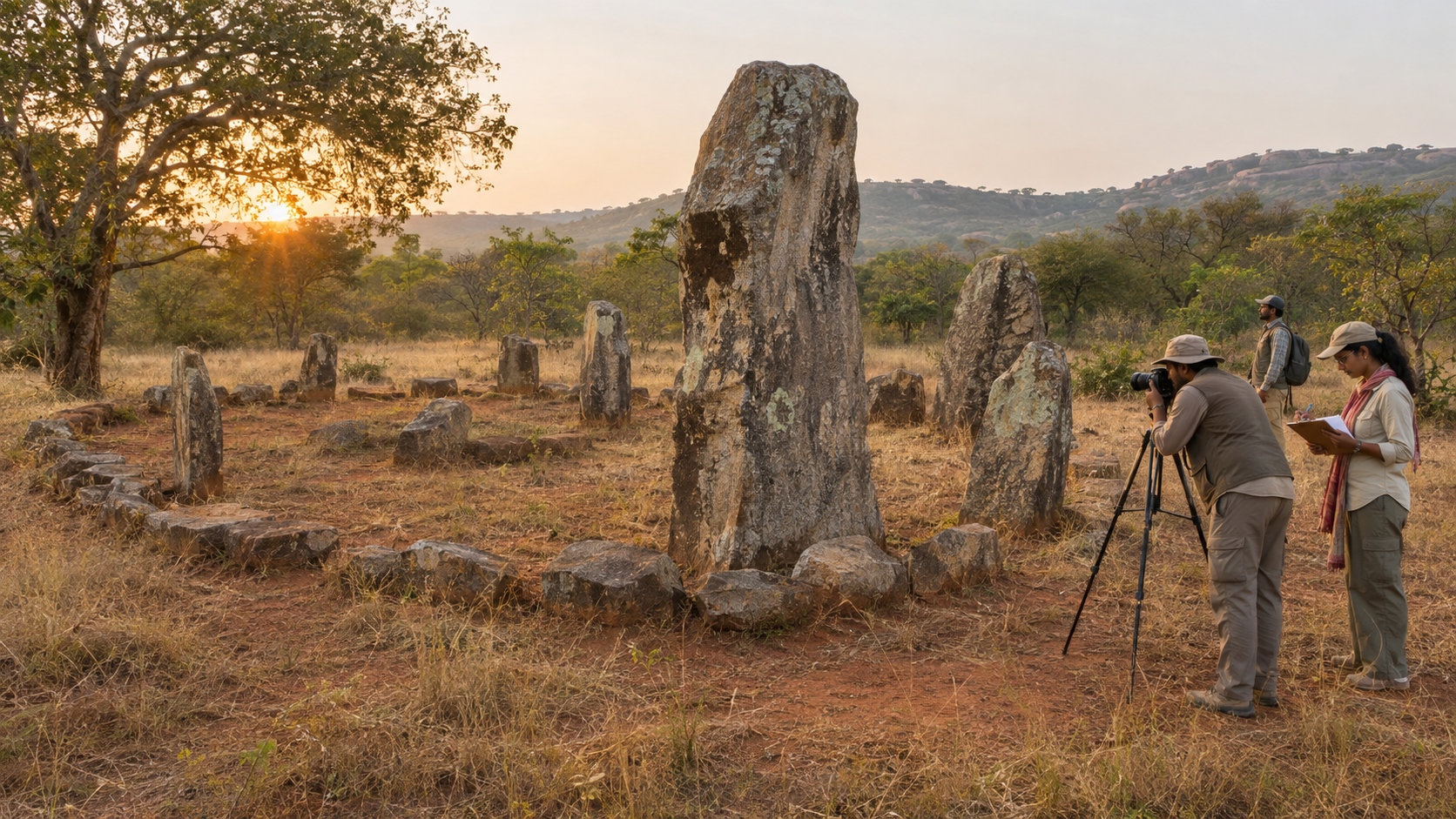
You may have passed an ancient stone field, found no useful signboard, and wondered whether you were looking at a burial ground, a ruined settlement or simply an unusual pile of rocks. That uncertainty is not your failure. It is what happens when a civilisation leaves its material memory exposed but unexplained.
If you want to help preserve Bharat’s megalithic heritage, begin with two disciplines: do not damage the evidence, and do not make the evidence claim more than it can support. From there, the practical needs are modest – accurate records, controlled access, clear interpretation and routine care.
Learn to read the evidence before making the claim
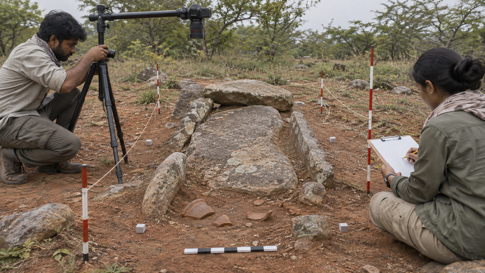
In this context, “megalithic” describes structures made with large stones, often associated with burials or memorial practices. A cist is a stone-lined chamber, commonly built from slabs. The label does not identify a single people, kingdom or religion, and a stone burial should not be treated as a temple merely because its builders lived in ancient Bharat.
Ibbankatuwa, near Dambulla in Sri Lanka’s Matale district, gives you a concrete example. It is Sri Lanka’s largest and best-preserved protohistoric megalithic cemetery, with more than 42 clusters of granite cist tombs dated to approximately 750-500 BCE. The cemetery belongs to a period whose communities must be understood through their structures, pottery, objects and wider material connections.
The combination of evidence is more revealing than any object viewed alone. Comparable cist burials and black-and-red ware connect Ibbankatuwa with peninsular Bharat, while carnelian and agate beads traded from Gujarat point to movement across considerable distance. A bead does not carry a modern passport, but its material and provenance can expose networks that political maps conceal.
The responsible way to explain such a place is to separate three kinds of statement:
- What is directly present: stone cists, burial clusters, pottery and beads.
- What the combined evidence supports: exchange and cultural connection between communities in Sri Lanka and peninsular Bharat during the Iron Age.
- What it does not establish by itself: one political state, one ethnicity or a precisely identified theology shared by every community in that network.
This distinction matters to a pro-Dharma understanding of history. Civilisational continuity does not become stronger when uncertainty is hidden or later identities are pushed backwards without evidence. It becomes more credible when we practise satya: say clearly what is known, show how it is known, and mark the boundary beyond which interpretation becomes speculation.
Ibbankatuwa proves that interpretation need not become spectacle
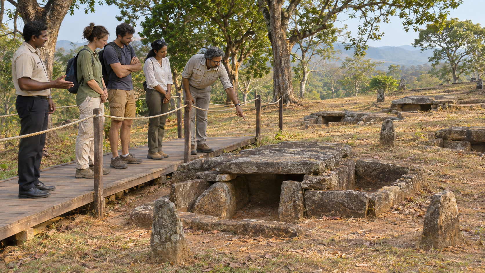
A neglected site does not need an enormous visitor centre before it can become intelligible. Ibbankatuwa was conserved and opened to visitors in 2017 with bamboo walkways, transparent information panels and replicas of pottery. Each element solves a specific problem.
- A defined walkway directs feet away from vulnerable archaeological features.
- Information panels turn an arrangement of stones into a dated, intelligible place.
- Replicas show visitors the material culture without exposing original objects to handling, weather or theft.
- A restrained design keeps attention on the site rather than on a new building competing with it.
This approach also makes sense within an existing travel circuit. Sri Lanka received about 2.3 million travellers in 2025, with Indians accounting for roughly 23 per cent of arrivals. Nearly one-third of Indian travellers also visited the Cultural Triangle containing Anuradhapura, Dambulla, Sigiriya and Polonnaruwa. Ibbankatuwa lies just beyond that celebrated route. The practical opportunity is not to manufacture a separate tourism universe, but to make a significant archaeological place visible from a route that people already travel.
Bharat can apply the principle without copying every material choice. Climate, terrain and archaeological sensitivity differ from place to place. The first standard should be functional: can you reach the site without walking across its features, understand its chronology, distinguish original remains from reconstructions, and learn why it matters to the wider region?
That standard is urgently relevant to Hire Benkal in Karnataka, Porunthal and Kadumanal in Tamil Nadu, and Arikamedu near Puducherry. These places should not be flattened into one generic “ancient India” display. Each requires its own site plan, chronology, finds, uncertainties and regional connections. At Arikamedu, overgrown vegetation and grazing animals make the consequences of weak maintenance especially visible.
A useful minimum for a publicly accessible site would include an arrival sign, a marked route, a simple site plan, a chronology, panels separating evidence from interpretation, replicas or images of movable finds, and a clearly identified authority responsible for maintenance. None requires a monumental complex. All require someone to take continuing responsibility.
Conservation has an order: record, protect, explain, maintain
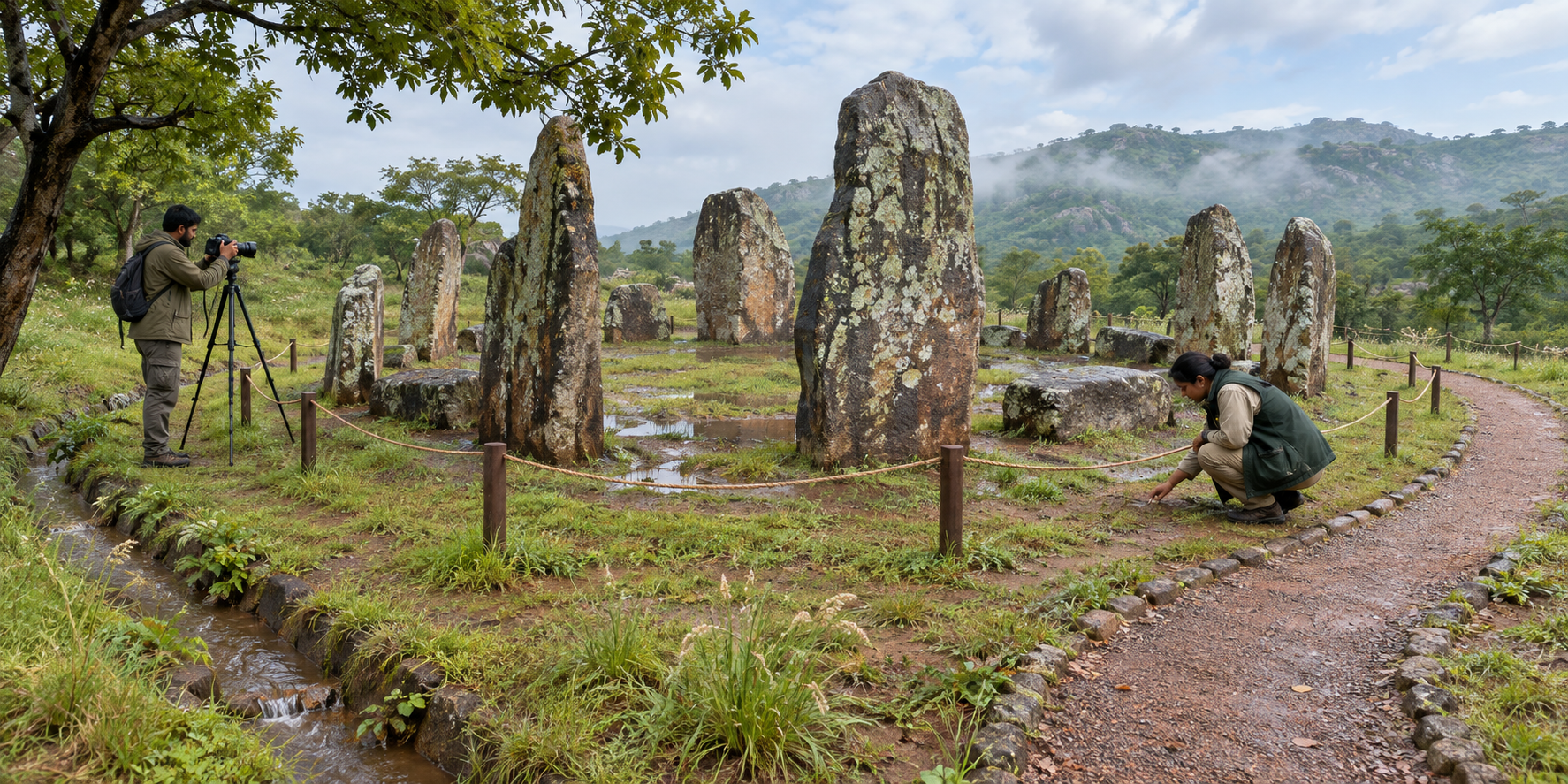
Ancient stones are only part of an archaeological site. Their positions, the soil around them, relationships between features and the location of small finds are also evidence. Once a stone is shifted or a deposit is casually cleared, that context cannot simply be put back.
For that reason, a rescue programme should proceed in a disciplined order:
- Record the existing condition. Prepare a site plan, mark boundaries, photograph features from repeatable viewpoints and document visible threats before intervening.
- Stop active damage. Control grazing, vehicle access, dumping, stone removal and casual foot traffic with the least intrusive barriers suitable for the place.
- Stabilise under archaeological supervision. Vegetation around buried features should be handled by trained teams; pulling roots or moving slabs during an enthusiastic cleanup can destroy the evidence being protected.
- Create controlled access and interpretation. Use a defined path, accurate panels, diagrams and replicas. State uncertainties plainly instead of filling gaps with slogans.
- Assign maintenance. Name the agency or local partner responsible for inspections, vegetation control, damaged signs and new reports of vandalism or erosion.
Excavation should not be the automatic first demand. Archaeological excavation is a destructive method: it permanently removes layers in order to record and analyse them. It belongs in a research and conservation plan led by qualified specialists, not in a publicity exercise or volunteer event.
Institutional reform may still be necessary. Greater autonomy for the Archaeological Survey of India has been proposed as one possible remedy for administrative apathy. Autonomy, however, is an instrument rather than a conservation plan. We would judge any reform by visible outcomes: public inventories, credible site-management plans, protected archaeological context, intelligible displays and maintenance that continues after an inauguration.
The comparison with Ibbankatuwa removes one familiar excuse. Money matters, but a large capital project is not the only form of care. A modest path, accurate explanation, good replicas and regular upkeep can serve the site better than an impressive building followed by neglect.
What you can do without putting a site at greater risk
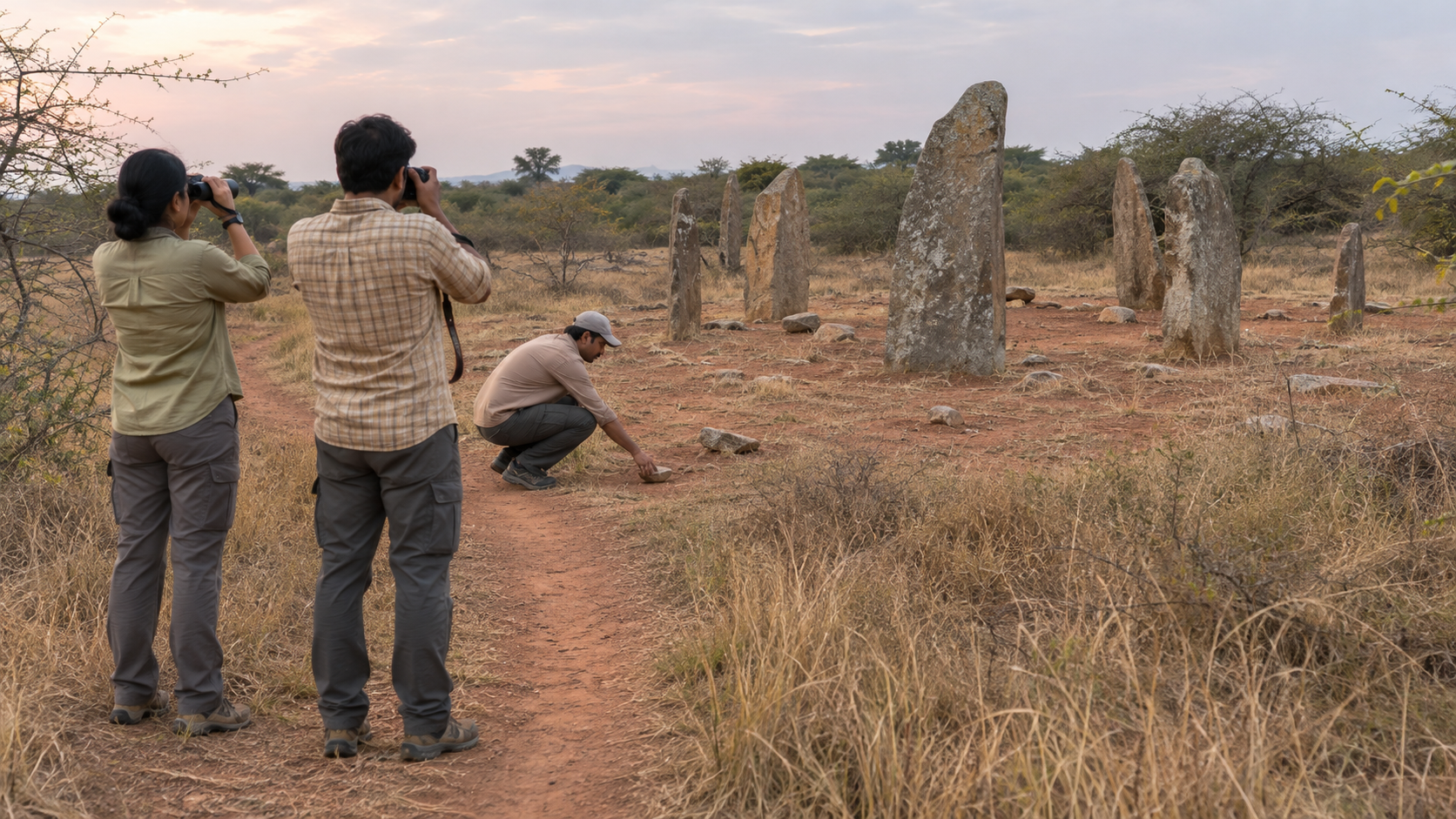
When you visit
- Stay on an existing path and keep children or companions from climbing on slabs. A standing stone is not outdoor furniture.
- Do not move loose stones or collect pottery fragments, beads or other objects. The location of even a small fragment may be archaeologically meaningful.
- Do not clear shrubs, scrape soil, make rubbings or light a flame near a feature. Well-meant intervention can cause permanent damage.
- Photograph the overall condition, existing signs and visible threats from a lawful public-access point. Preserve the date and location with your notes.
- Treat a burial landscape with dignity. Avoid litter, intrusive celebrations and staged photographs that require standing on a structure.
- Be cautious about publishing precise coordinates for an undocumented, unguarded feature. Visibility helps established sites, but it can expose vulnerable finds to removal.
When you report neglect
Send a short condition report to the relevant State archaeology department, the ASI when it is responsible for the monument, or the district administration when jurisdiction is unclear. A useful report contains:
- The site name, nearest village or landmark and a precise location.
- The date on which you observed the problem.
- A factual description such as grazing, dumping, displaced stones, damaged signage, erosion or uncontrolled vegetation.
- A small set of labelled photographs showing both the feature and its surroundings.
- A specific request for acknowledgement, inspection and confirmation of which authority is responsible.
Keep the note factual. Do not accuse local residents, officials or visitors unless you have reliable evidence. A documented condition and a precise request are easier to act upon than a general declaration that the government does not care.
If you are organising a heritage campaign, do not begin by demanding a museum, mass excavation or sound-and-light show. Ask first whether the boundary has been mapped, whether the condition has been recorded, what is causing current damage, who owns the maintenance task, and how visitors can enter without crossing sensitive ground. Those questions expose the real administrative gaps.
Teachers and community groups can also improve the quality of public history. Ask learners to separate observation from inference, trace the Gujarat-Sri Lanka material connection on a map, and explain why cultural exchange does not automatically prove political unity. That exercise builds civilisational confidence without sacrificing historical method.
Never organise digging, stone-moving or vegetation clearance inside an archaeological area without permission and specialist supervision. Seva at such a place may be quieter: respectful visitation, careful documentation, public education and steady pressure for competent maintenance.
Key takeaways
- Megalithic structures must be interpreted through their context, associated objects and chronology, not through the stones alone.
- Ibbankatuwa connects Sri Lanka and peninsular Bharat through burial forms, black-and-red ware and Gujarat-linked beads, while leaving questions of exact identity open.
- A protected route, accurate panels and replicas can make a site useful without overwhelming it with construction.
- Conservation should move from recording to protection, specialist stabilisation, interpretation and continuing maintenance.
- Your most useful contribution is to visit responsibly, document specific threats and request concrete action from the authority responsible.
Choose one neglected site within reach of your town or next journey. Learn what is actually known about it, visit without disturbing it, and send one precise condition report if care is lacking. Bharat’s megalithic inheritance will not be rescued by admiration alone; it will survive through accurate memory joined to patient stewardship.
References

Leave a Reply
You must be logged in to post a comment.