
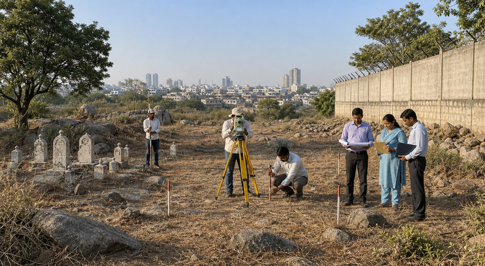
If you are trying to decide whether a graveyard is being placed on defence land in Jubilee Hills—and whether that would amount to an unlawful encroachment—the honest answer cannot be reduced to a communal slogan. It depends on a chain of records. A reported Waqf proposal and a reported defence objection create a dispute; neither position, standing alone, proves the legal status of the parcel.
That distinction gives you a practical standard. Ask for the exact land to be identified, the history of each claim to be disclosed, the boundaries to be surveyed jointly, and the competent authority to issue a reasoned decision. Until those steps occur, restraint protects both public order and the integrity of the eventual finding.
What is established—and what remains a claim
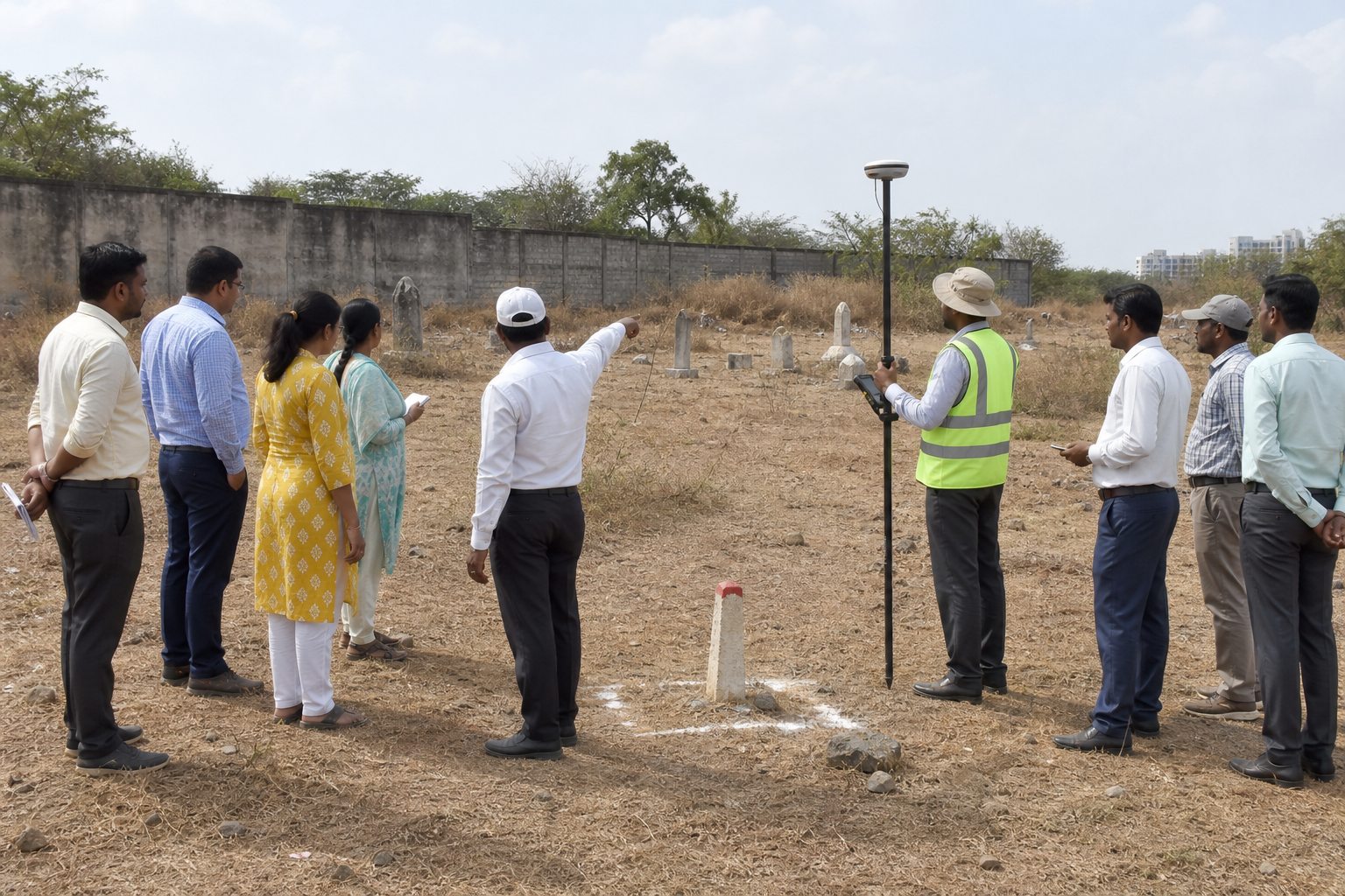
On 8 October 2025, reports indicated that the Telangana Waqf Board was considering part of a parcel described as defence-controlled for use as a Muslim graveyard. Defence authorities reportedly contested the move, asserted jurisdiction over the site, and sought verification of the cadastral record.
Those are competing institutional positions, not a final determination of title or control. Three separate questions must not be collapsed into one:
- Which land is actually in dispute? A place name such as “Jubilee Hills” is not a legally sufficient boundary. The parcel must be tied to identifiable survey and cadastral material.
- What interest does the Waqf Board assert? The relevant notification, endowment record, map, description, and subsequent entries must all refer to the same ground.
- What establishes defence jurisdiction? Defence Estates records, revenue material, maps, possession history, and the surveyed boundary must be reconciled rather than assumed to coincide.
The allegation that the Board was “Congress-influenced” belongs to the political argument unless documentary evidence establishes improper direction or interference. Party proximity, even when alleged forcefully, does not identify a parcel, establish an endowment, transfer jurisdiction, or invalidate a record. If you see that allegation used as a substitute for land evidence, notice the substitution.
The same discipline applies to language such as “land grab,” “historic right,” or “national-security land.” Any of those descriptions may express a serious concern, but none proves itself. Before treating an online claim as settled, look for a signed order, an identifiable notification, a map that matches the parcel, and information about whether a competent court or authority has examined the conflict. Because the dispute may have developed after the initial report, check for later official orders before making legal or political decisions based on the October 2025 position.
The record chain that can resolve the dispute

Hyderabad contains layers of historic grants, revenue descriptions, endowment claims, administrative changes, and modern development. A name preserved in an old record may not correspond neatly to a present road, wall, or neighbourhood label. That is why a credible resolution has to join documentary history to a current, geo-referenced boundary.
A sound process would move in the following order:
- Freeze the parcel identity. Record the claimed boundaries, relevant survey identifiers where available, present physical features, adjoining parcels, and the precise area under contention. Arguments about differently defined plots cannot produce a reliable answer.
- Assemble each institutional record set. This includes the Waqf notification or other instrument relied upon, historical endowment descriptions, Defence Estates material, revenue maps, cadastral records, mutation entries, and any previous administrative or judicial orders affecting the site.
- Build a chronology. The date, issuing authority, geographic description, and legal effect of each record should be placed in sequence. A later entry may reflect an earlier decision, a disputed assertion, or an administrative update; the complete chain matters more than an isolated photocopy.
- Match the old descriptions to the present ground. A geo-referenced survey should test whether the records point to the same parcel. Nearby landmarks and approximate sketches are not enough when the competing claims concern institutional jurisdiction.
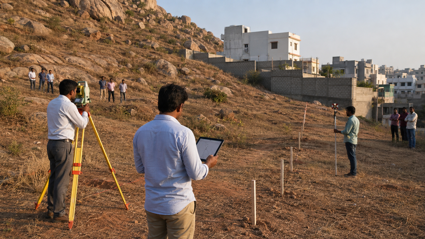
- Use a genuinely joint survey. A court-supervised exercise involving the Survey of India, Defence Estates Office, Telangana Revenue Department, and Waqf Board would allow each institution to place its material on the same map and formally record disagreements.
- Publish the finding and invite focused objections. The public should be able to understand which parcel was surveyed, which record classes were considered, where the boundaries fall, and why a conclusion was reached. Any security-sensitive operational material can be protected without withholding the basis of the land decision.
- Preserve the site while claims remain unresolved. An appropriate status quo direction can prevent construction, burial, excavation, fencing, or other physical changes from overtaking the legal process. If the institutions remain divided, clear judicial directions are safer than unilateral action.
No single item should be treated as magical proof. A gazette notification, mutation entry, revenue map, defence register, or historic description has to be read for what it actually records and then connected to the disputed ground. The final legal weight of conflicting documents is a matter for the competent authority or court, not for a television panel or social-media account.
How to test the claims you encounter
You do not need to become a land-law specialist to recognise weak reasoning. Use four questions whenever a politician, campaign group, community representative, or anonymous account makes a categorical claim.
| Question | Useful evidence to request | What does not settle it |
|---|---|---|
| Which parcel is being discussed? | A geo-referenced boundary linked to identifiable cadastral or survey material | A neighbourhood name, roadside photograph, or approximate online outline |
| What supports the Waqf claim? | The relied-upon notification or endowment record, its land description, and its correspondence with the surveyed parcel | The need for a burial ground by itself |
| What supports defence control? | Defence Estates and related official records matched to the same surveyed boundary | Calling the location “defence land” without disclosing the record basis |
| Has a land-use decision become final? | A signed, competent order and information about objections, interim directions, or judicial review | A political assurance, proposal, meeting, or media statement |
Pay particular attention to verbs. “Considered,” “proposed,” “notified,” “mutated,” “allotted,” “possessed,” and “constructed” describe different stages. A report that an allotment was considered does not prove that title changed, that possession was delivered, or that physical work lawfully began. Much misinformation survives by quietly replacing one of those verbs with another.
Maps also require context. Before forwarding one, check who issued it, what date it represents, whether its legend and boundaries are visible, and whether it is being compared with the same parcel claimed by the other side. A cropped image with coloured lines can look authoritative while concealing the very identifiers needed to test it.
If you are directly affected as a neighbouring rights-holder, resident, official, or person responsible for security, obtain the actual records and consult a lawyer qualified in Telangana land and public-law matters. Do not enter, fence, excavate, mark, or otherwise alter the disputed site on the strength of this general explanation. Physical action could create legal exposure, disturb evidence, or produce a security confrontation.
A Dharmic position must be pro-truth and pro-order
A pro-Hindu response cannot be anti-evidence. When temple property is threatened or misclassified, Hindus rightly ask for records, surveys, notice, transparent administration, and equal treatment under law. Consistency requires us to demand the same standard when the competing claim concerns a graveyard and defence land. Selective respect for procedure weakens the very protections on which Dharmic institutions depend.
This does not require indifference to national security. If land is genuinely under defence jurisdiction, an unauthorised change of use would raise a serious public-interest concern and should not be normalised through political pressure. The correct response, however, is to establish that jurisdiction through authoritative records and a verified boundary, then enforce the lawful decision. Security is not strengthened when imprecision invites prolonged conflict.
Nor does respect for a burial ground decide the land question. It decides how people should behave while the question is resolved. Human remains and places of mourning deserve dignity, while the creation or extension of a burial site must still comply with lawful authority, planning requirements, access needs, and any security restrictions. Compassion and jurisdiction answer different questions; responsible governance honours both.
Ahiṃsā here is not passive silence. It means refusing intimidation, trespass, vandalism, inflammatory rumour, and collective blame. Karuṇā keeps the dignity of grieving families in view. Sevā means helping neighbours find verified records, correcting false maps, and keeping civic engagement peaceful. These values allow Dharmic citizens to be firm about public land without converting an administrative conflict into suspicion of an entire community.
Key takeaways and the next actions to press for
- Treat the October 2025 account as the beginning of a dispute, not its legal conclusion. Verify whether later notifications, survey findings, status quo directions, or court orders have changed the position.
- Ask officials to identify one exact parcel. The boundary, survey material, claimed area, adjoining land, and record references should all point to the same ground.
- Request the basis of both institutional claims. Scrutinise the Waqf notification or endowment material and the Defence Estates and revenue records with equal seriousness.
- Support a joint, geo-referenced survey. Transparent findings, a public objection window, and judicial supervision where required are more reliable than parallel surveys designed to confirm predetermined positions.
- Keep political allegations separate from land evidence. Ask what document, order, instruction, or procedural departure supports any claim of partisan interference.
- Oppose unilateral physical changes while the status remains contested. Preserving the site prevents an irreversible act from becoming a substitute for adjudication.
- Use peaceful institutional channels. Submit focused information requests, contact elected representatives with specific record questions, and support resident liaison or inter-community meetings that reduce rumours without bargaining away legal rights.
The next meaningful development will not be another accusation. It will be an official parcel map, a disclosed record chain, a clear interim position, and a reasoned final order. Until those exist, insist on status quo, documentary transparency, and one standard of law for defence property, Waqf claims, temple lands, and every other public controversy.
References
