
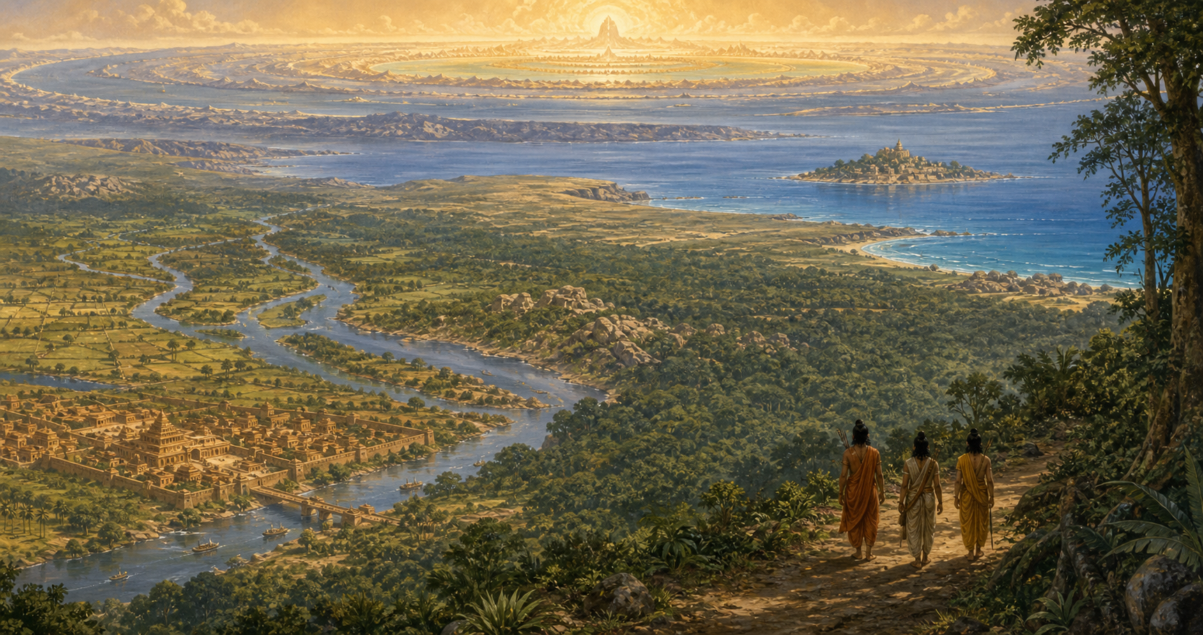
If you have come looking for a single ancient outline marked Jambudwipa, the Ramayana will frustrate that expectation. Valmiki gives you something more instructive: cities related to rivers, journeys told in sequence, forests treated as regions, and distant directions that gradually open into cosmology.
You do not have to choose between treating this geography as a modern road map and dismissing it as fantasy. A disciplined reading separates what the Ramayana explicitly locates, what sacred tradition remembers, what modern interpreters tentatively identify, and what belongs to the epic’s far horizon. That distinction lets you appreciate Jambudwipa as a coherent geographical world without claiming more precision than the evidence carries.
Start with anchored geography, not modern borders
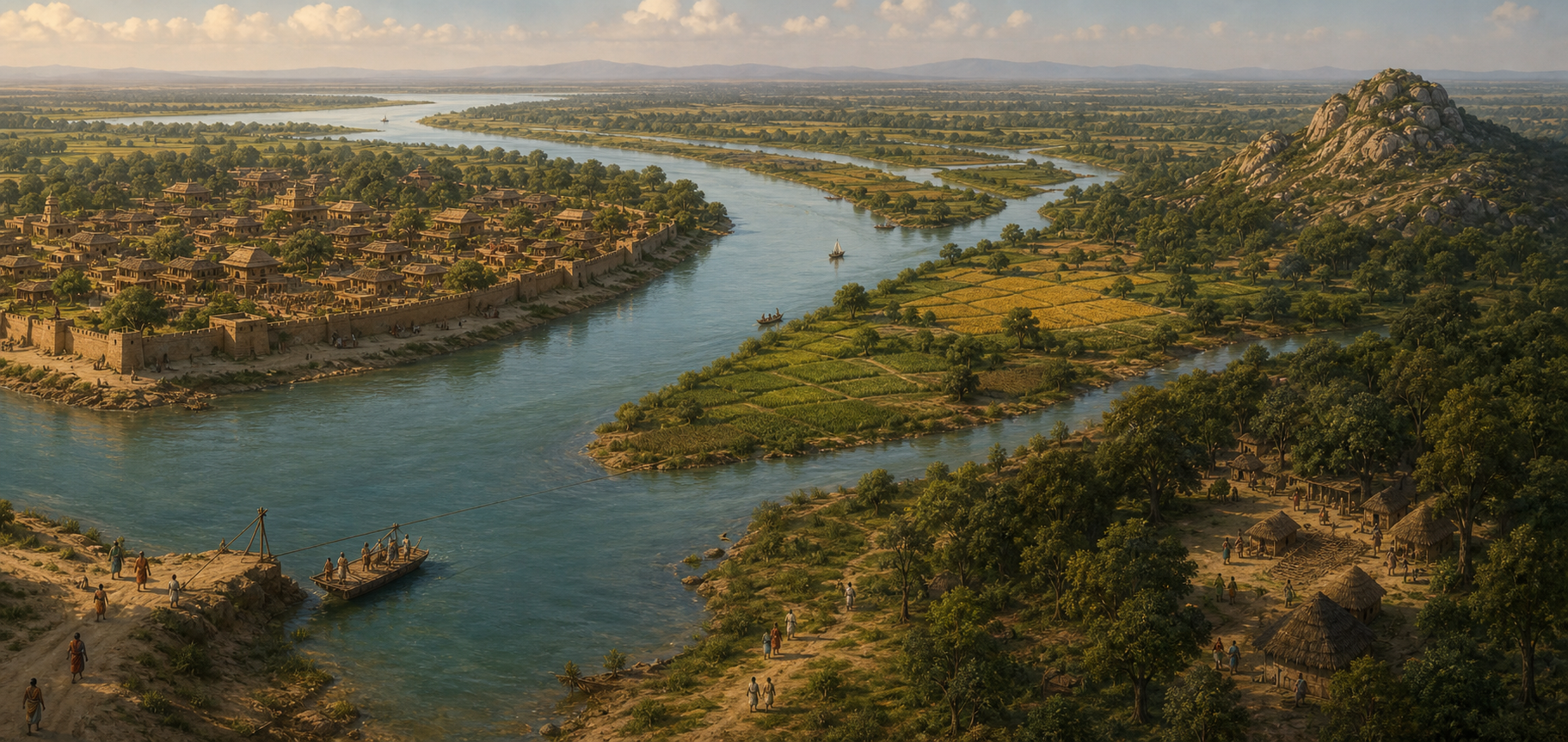
The strongest anchors are relationships stated inside the narrative. In Valmiki Ramayana 1.5.5-6, Kosala stands on the Sarayu, and Ayodhya stands within Kosala as its renowned capital. These verses do not provide latitude and longitude. They provide something an ancient traveller could use: a country, its principal river, and its political centre.
That relational method continues when Bharata returns to Ayodhya from Kekaya. The proposed modern location of Kekaya is not settled in the material available to us: possibilities range from a Gandhara-Afghanistan setting to the vicinity of Chiniot in present-day Pakistan. The route itself, however, is narrated through a succession of features. Bharata moves from the Sudama River toward the Sutlej basin, crosses the Shatadru, encounters the Hradini, passes the difficult country called Shalyakarshan, and eventually enters the Gangetic plain. Hradini has been tentatively connected with the Ghaggar-Hakra system, while Shalyakarshan has been placed somewhere in present-day Punjab or Haryana.
The uncertainty around those modern identifications does not make the sequence useless. It tells you how to map it properly. Put the ancient names on paper first. Join them only in the order and direction supplied by the journey. Add modern candidates in a separate layer, using words such as possible, proposed, or traditionally identified. A recognizable name is a clue; a sequence of rivers, terrain and direction is a much stronger case.
This is also why Jambudwipa should not be reduced to the border of one present-day state. Valmiki’s geographical world is a network of rivers, kingdoms, forests, routes and remembered margins. Modern borders may help you orient yourself, but they should enter the map as reference lines, not as the framework controlling the interpretation.
Follow the exile as a north-to-south ecological spine
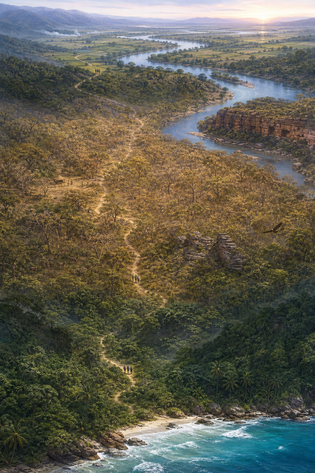
Rama’s exile creates the most accessible spine through this world. The journey does not merely connect famous pilgrimage sites. It moves through changing kinds of terrain and settlement, from the ordered capital on the Sarayu into forest regions, the Godavari country, the rocky landscape associated with Kishkindha, and eventually the southern sea and Lanka.
- Ayodhya and the Sarayu: The political and moral centre of Kosala is also a riverine city. Begin the route here rather than with a speculative outer boundary for Jambudwipa.
- Chitrakoot: The forested region on the present Uttar Pradesh-Madhya Pradesh border marks an early place of residence and the meeting at which Bharata urges Rama to return. Treat it as a regional landscape, not merely a temple pin.
- Dandakaranya: The great forest is associated with a broad belt extending through parts of present Madhya Pradesh, Chhattisgarh, Odisha and Maharashtra. A single dot cannot represent it adequately.
- Panchavati and the Godavari: Panchavati is associated with the Nashik area on the Godavari. The encounter with Shurpanakha and Sita’s abduction make this residence the narrative turning point from exile to pursuit.
- Kishkindha: Kishkindha is often identified with the Hampi region, where the rocky terrain, Tungabhadra River and Anjanadri Hill form a cluster that resembles the remembered landscape. Often identified is the responsible formulation; it is not the same as a coordinate supplied by Valmiki.
The practical consequence is simple. Use different symbols for different geographical objects. Mark Ayodhya as a city, the Sarayu and Godavari as river lines, Dandakaranya as a shaded zone, and the exile itself as a corridor. Use another symbol for a site preserved through sacred association. If everything becomes an identical location pin, you lose the geographical distinctions that make the itinerary meaningful.
You should also resist measuring the exile as though every episode belonged to one surveyed road. An epic journey can preserve broad direction, environmental transitions and culturally important places without recording every intervening march. The map is strongest where it reflects that scale instead of filling silence with invented certainty.
Read Sugriva’s world survey in widening rings
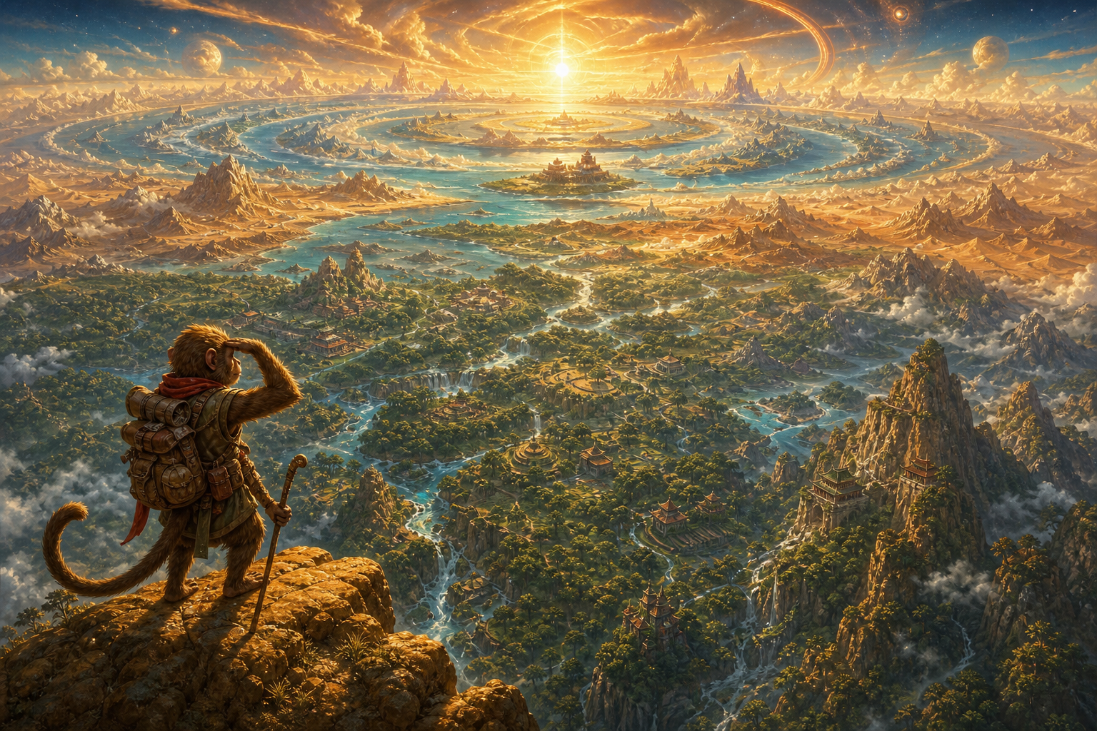
Kishkindhakanda 40-43 changes the scale of Valmiki’s geography. Sugriva sends search parties in the four cardinal directions to find Sita and Ravana’s dwelling. The instructions combine directions, countries, rivers, mountains, forests and islands. They are not a detached catalogue: within the story, they form an operational survey for an exhaustive search.
The eastern dispatch in Sarga 40 is especially revealing. It begins among named countries such as Videha, Kashi, Magadha and Pundra and invokes major rivers including the Ganga, Sarayu, Yamuna and Saraswati. It then extends through more distant mountains and islands toward Mount Udaya, the mountain of sunrise. Along that widening route appear extraordinary peoples and creatures, including one-footed, iron-faced and tiger-formed beings. Familiar political geography, sacred river geography and cosmographic imagination occupy the same survey.
A useful map can represent this passage in three rings:
- The geographic core: Named kingdoms, inhabited regions and rivers that can be placed within the better-known landscape of northern and eastern Bharat.
- The extended horizon: Islands, remote forests and mountains described beyond the mainland. Some may invite geographical comparison, but each proposed match needs its own argument.
- The cosmographic edge: Udaya as the place of sunrise and the extraordinary beings at the world’s margins. Here the language no longer behaves like an ordinary itinerary, so a forced modern coordinate creates false precision.
This layered reading avoids two common mistakes. The presence of cosmographic beings does not turn the preceding rivers and kingdoms into inventions. Conversely, the presence of recognizable rivers does not prove that every distant image is a coded description of a modern people or country. Real terrain and sacred cosmology can coexist in an epic without becoming interchangeable kinds of evidence.
Be particularly cautious about assigning Valmiki’s extraordinary peoples to living ethnic communities. A visual resemblance, unusual custom or speculative word match is not enough. Unless the route, direction, surrounding features and textual function also agree, the proposed identification tells you more about the interpreter than about Jambudwipa.
Test every modern identification by its level of certainty

You can discuss Valmiki’s geography firmly without pretending that every identification has equal status. The most useful habit is to attach a claim label to every point on your map or every assertion in your argument.
| Claim label | What it permits you to say | Example |
|---|---|---|
| Text-explicit | The named relationship or sequence appears in the Ramayana, whether or not every modern equivalent is known. | Ayodhya is in Kosala on the Sarayu. |
| Sacred or received association | A living tradition connects an episode with a present landscape; describe the continuity without calling it independent historical proof. | Chitrakoot’s Ram Ghat and Kamadgiri preserve the memory of Rama and Bharata’s meeting. |
| Tentative modern identification | The location is inferred through names, terrain, rivers or route order; use possibly, likely, or often identified. | Hradini may correspond to the Ghaggar-Hakra, and Kishkindha is often identified with Hampi. |
| Cosmographic horizon | The passage expresses the sacred or imagined edge of the inhabited world; do not manufacture an exact coordinate. | Mount Udaya and the extraordinary beings of the easternmost survey. |
When you evaluate a proposed location, work through the evidence in this order:
- Copy the textual name and passage reference. Do this before searching for a modern name that sounds similar.
- Record the relationships. Note the direction of travel, preceding and following places, river crossings, terrain and whether the location is a city, country, forest, mountain or island.
- Test the entire cluster. A good identification should explain several features at once. Phonetic resemblance by itself is weak, especially across long periods and several languages.
- Keep tradition and material corroboration distinct. A continuously venerated ghat, hill or cave is important evidence of sacred memory. It does not automatically establish the date or physical details of an epic event.
- Preserve unresolved alternatives. If Kekaya can be placed in more than one modern area, show both candidates. Do not hide the uncertainty merely to produce a cleaner-looking map.
This method respects the Dharmic character of the landscape. Ram Ghat, Kamadgiri, the Godavari ghats, Sita Gufa and Anjanadri continue to carry epic memory in particular places. Their sacred importance need not be reduced to an archaeological claim. Nor should historical questions be answered solely by the intensity of devotion. The two registers can strengthen your understanding when each is allowed to speak in its own way.
The same discipline prevents a modern political map from swallowing the epic’s larger horizon. Connections extending toward the northwest, across the Gangetic world, through central and southern forests, and toward islands in the east show a geographical imagination wider than one administrative heartland. That breadth is meaningful even when its outermost features cannot be converted into modern borders.
Key takeaways
- Valmiki’s most dependable geography is relational: a city within a country, a country on a river, or one landscape reached after another.
- The exile route supplies a north-to-south spine, but its locations occur at different scales. Cities need points, forests need regions, and journeys need corridors.
- Sugriva’s four-direction survey expands from recognizable kingdoms and rivers toward remote islands and a cosmographic edge.
- A real river does not prove every proposed identification, and a cosmic image does not erase the concrete geography beside it.
- The clearest map labels each claim as text-explicit, traditionally associated, tentatively identified, or cosmographic.
If you want to test this approach yourself, place Kishkindhakanda Sarga 40 beside a blank map. Plot only the countries and rivers that are actually named. Draw the sequence before adding any modern equivalent, then change your symbol when the description moves toward islands, Udaya and extraordinary beings. You will end with a map that is less absolute but far more faithful: one that preserves both the terrain of Bharat and the sacred horizon through which Valmiki’s characters understand their world.
References
