
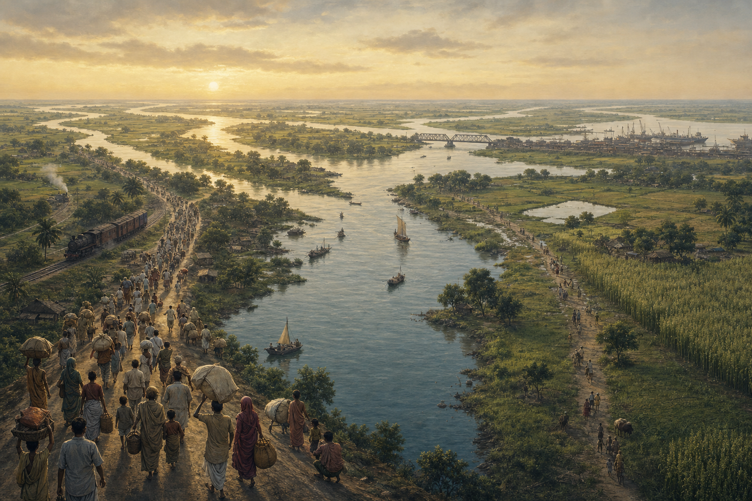
Bengal’s passage from the 1947 Partition to the 1971 Liberation War is best understood as two connected ruptures rather than a simple sequence of political dates. The first divided an interdependent regional economy and displaced large populations; the second ended East Pakistan after political marginalisation, violence and another vast movement of refugees.
Read together, the two source articles show how geography, economic organisation, human displacement and state capacity shaped both crises. They also clarify an essential distinction: Bangladesh’s liberation resolved a question of political sovereignty, but it did not reverse the economic separation created in 1947.
Key takeaways
- Partition divided an economic system in which eastern Bengal supplied much of the raw jute while mills and commercial infrastructure were concentrated around Calcutta and the Hooghly.
- West Bengal’s later industrial difficulties cannot be attributed to Partition alone; the economic-history source also identifies policy choices, infrastructure problems, capital flight and adversarial industrial relations.
- The 1971 crisis arose from East Pakistan’s political marginalisation and escalating state violence, producing mass displacement and an armed Bangladeshi liberation struggle.
- According to the military-history source, preparation, coordination and a clear focus on Dhaka helped bring the December 1971 campaign to a rapid decision.
Partition broke a connected economic geography
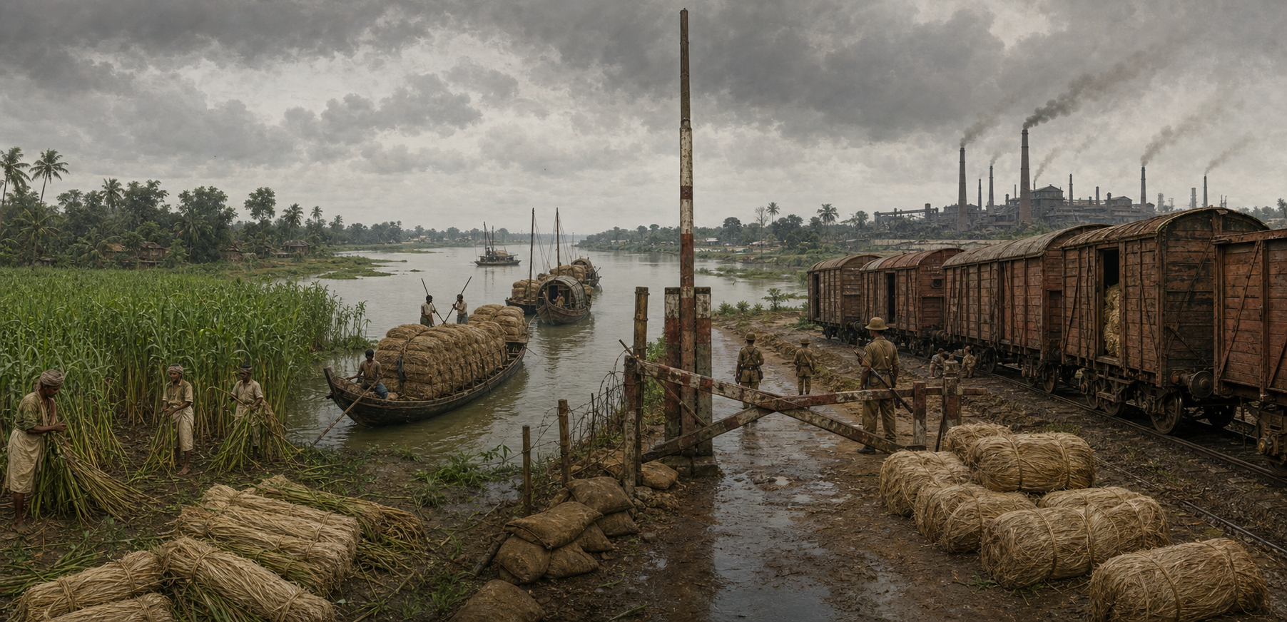
The economic-history source presents pre-Partition Bengal as a region whose prosperity rested on several mutually supporting systems: fertile delta agriculture, artisanal manufacturing, river transport, maritime commerce and institutions concentrated in Calcutta. This background matters because the border did not divide two self-contained economies. It cut through established relationships among farms, mills, ports, railways, warehouses, markets and workers.
Jute provides the clearest example. The source reports that West Bengal retained most of the processing mills, especially in Howrah, Hooghly and 24 Parganas, while East Bengal retained most of the land producing raw jute. A previously internal supply chain was suddenly exposed to border controls, different currencies, transport disruption and political uncertainty. The article reports that arrivals of jute in Calcutta had fallen sharply below normal levels by October 1947 and that several mills closed within a year.
This disruption struck an unusually substantial industrial base. Citing the 1951 Census of Manufacturing Industries, the source says West Bengal then had 1,493 registered factories, the highest total among Indian states. Calcutta’s port, the Hooghly industrial belt, nearby coal and steel linkages, financial institutions and a skilled workforce gave the state considerable inherited capacity. Partition therefore did not create an undeveloped periphery; it damaged the operating relationships of an established industrial centre.
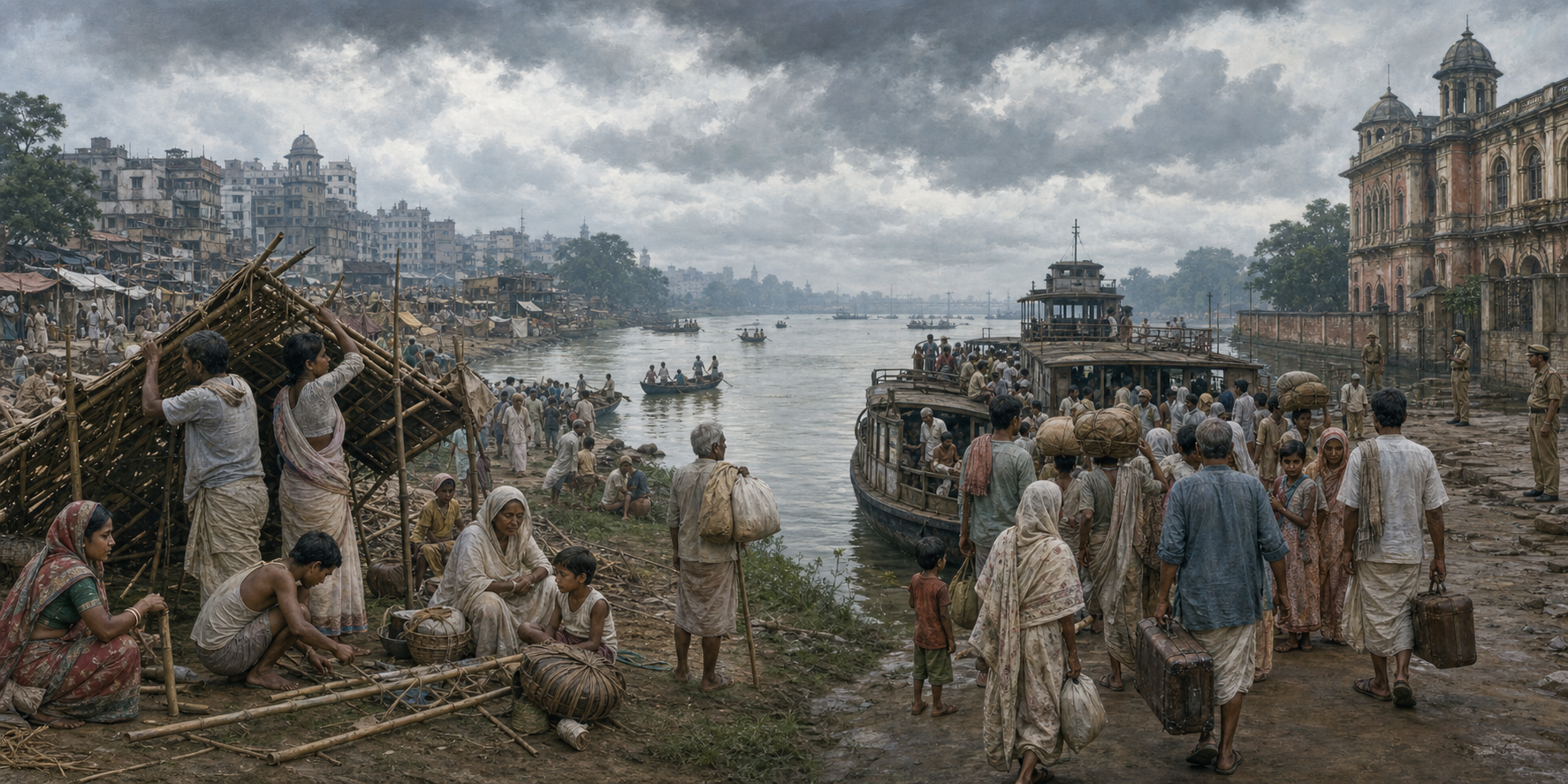
The shock was social as well as commercial. The same source describes a vast refugee burden in West Bengal, where housing, sanitation, schooling, employment and transport were already under pressure. Refugee settlements became centres of enterprise and political mobilisation, but their resilience did not eliminate the demands placed on a state with limited urban and peri-urban land. Partition entered everyday life through both the loss of economic connections and the need to rebuild households.
The two Bengals experienced different forms of instability
The sources examine opposite sides of the divided region through different lenses. The economic-history article follows West Bengal’s effort to preserve industry after losing part of its hinterland. The military-history article concentrates on East Pakistan’s political crisis and the struggle that produced Bangladesh. These accounts are complementary rather than interchangeable: one explains why an inherited economic advantage weakened, while the other explains why continued membership in Pakistan became untenable for many Bengalis in the east.
On the western side, the first source argues that Partition was only the initial structural blow. It also identifies freight equalisation, central industrial licensing, public-sector location choices, infrastructure weakness, capital flight and deteriorating labour-management relations as parts of a layered decline. It describes industrial development under Dr B. C. Roy, including planning associated with Durgapur, Kalyani and Haldia, as evidence that deterioration was not predetermined. The broader point is that disrupted geography could have been mitigated only through sustained institutional adaptation.
On the eastern side, the second source reports years of political marginalisation and cultural suppression before the crisis escalated in 1971. It describes state violence against the population of East Pakistan, the Mukti Bahini’s struggle for freedom and a humanitarian emergency in which millions of refugees crossed into India. That account places Bengali political agency and civilian suffering at the centre of the conflict, even though its principal biographical focus is Indian Army chief Sam Manekshaw.
Both sources consequently treat displacement as central, but they refer to distinct historical movements. The refugees who placed exceptional pressure on West Bengal after 1947 and those who entered India during the 1971 crisis should not be collapsed into a single episode. Taken together, however, the accounts show a repeated consequence of political rupture: borders and coercion transferred enormous costs to families, receiving communities and public institutions.
In 1971, geography became a strategic problem
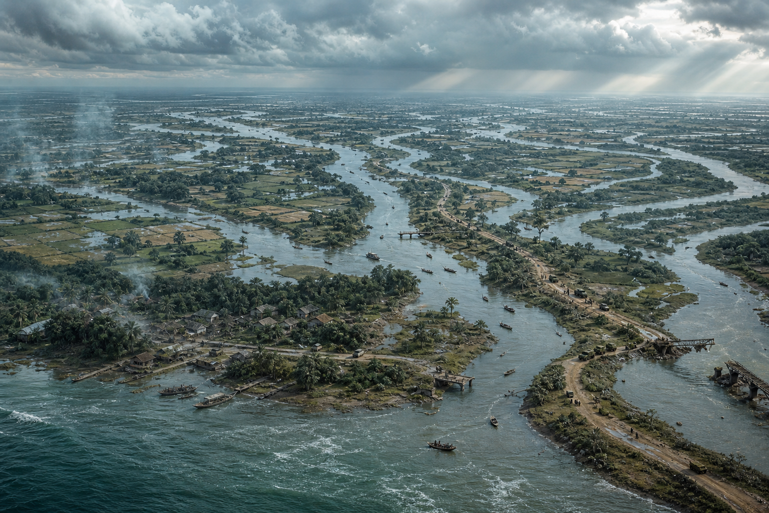
The same deltaic geography that had supported Bengal’s commerce also shaped the military choices of 1971. The economic source emphasises rivers, transport networks and Calcutta’s connections with a broad hinterland. The Manekshaw profile reports that monsoon conditions, logistics, equipment readiness, force positioning and coordination among the Army, Navy, Air Force and Bangladesh forces affected the timing of intervention. Geography first appears in these accounts as economic infrastructure and later as an operational constraint.
According to the military-history source, Manekshaw resisted pressure for immediate action because the armed forces were not yet properly prepared. The article interprets that position as professional judgment rather than reluctance: a premature campaign could have lasted longer and imposed greater costs on soldiers and civilians. Waiting allowed political intent, military readiness and inter-service planning to converge.
When war formally began in December 1971, the source says Indian and Bangladeshi forces did not make the capture of every fortified position their principal objective. They sought to isolate Pakistani formations, control important communication routes and advance toward Dhaka, the political and strategic centre. This was a campaign designed to force a decision rather than accumulate disconnected territorial gains.
The result came on 16 December 1971. The source reports that Lieutenant General A. A. K. Niazi surrendered in Dhaka to Lieutenant General Jagjit Singh Aurora, who represented the Indian and Bangladesh forces in the eastern theatre. It places the number of Pakistani personnel taken as prisoners of war at nearly 93,000. For Bangladesh, the surrender concluded a painful liberation struggle and established national independence.
Liberation answered one crisis without undoing another
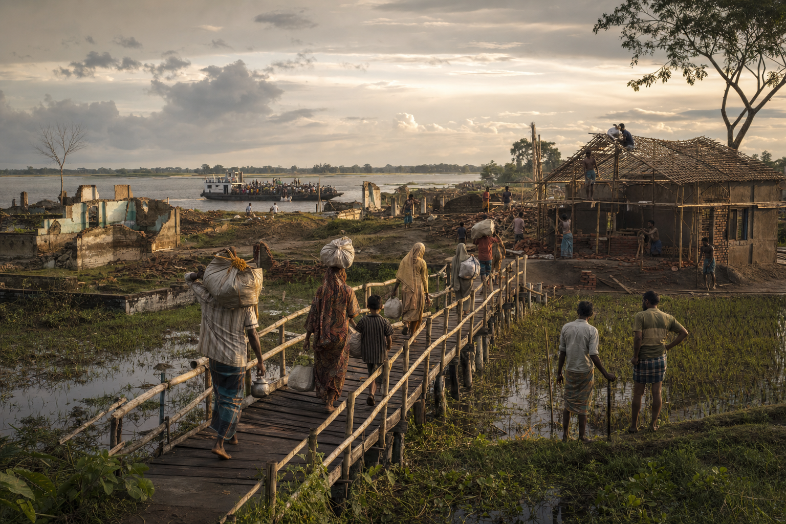
The two turning points produced different kinds of change. Partition replaced an integrated regional system with an international boundary, separating productive assets and setting off large-scale displacement. Liberation replaced East Pakistan with an independent Bangladesh after a political and humanitarian crisis. The achievement of sovereignty in 1971 did not, by itself, restore the economic networks severed in 1947.
This distinction guards against two oversimplifications. West Bengal’s industrial decline cannot be explained solely by the loss of eastern Bengal, because the economic source identifies consequential decisions and institutional failures after Partition. Bangladesh’s emergence cannot be treated merely as a result of Indian military action, because the military source also identifies Bengali resistance, the Mukti Bahini, civilian suffering and the political conditions that preceded intervention.
The sources do not provide a detailed assessment of post-1971 relations or economic recovery, so they cannot support broad claims about what followed. They do support a more disciplined framework for future discussion: Bengal’s history must connect borders with supply chains, sovereignty with political representation, military planning with humanitarian consequences, and refugee memory with state capacity. Any forward-looking conversation about prosperity and regional cooperation should begin from those linked realities.
References
- DharmaRenaissance Blog – Rebuilding Sonar Bangla: Bengal’s Powerful Path Back as India’s Eastern Gateway
- DharmaRenaissance Blog – Sam Manekshaw’s Decisive Leadership and Bangladesh’s Hard-Won Freedom