
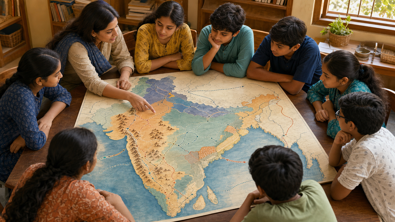
If your child can repeat the names of Chhatrapati Shivaji Maharaj, Baji Rao I and the Third Battle of Panipat but cannot locate the Sahyadris, Malwa or Nagpur, the lesson has supplied names without giving them a political world. A well-designed historical map closes that gap.
That is why the missing map matters. Hindu Janajagruti Samiti has made a formal request to reinstate the Maratha expansion map in NCERT’s Class 8 textbook Our Pasts-III. But restoration alone is not enough. You should ask what kind of map is being restored, what its colours mean and whether it helps a student distinguish territorial control from a wider sphere of influence.
A missing map changes the lesson, not just the page
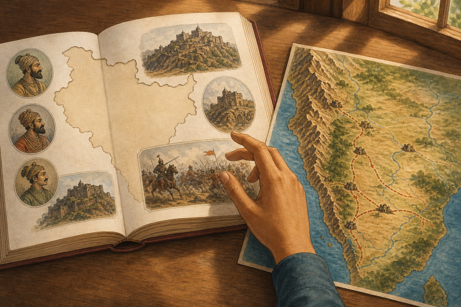
The Maratha political story moves across several kinds of geography. It begins with Swarajya in the Konkan and Western Ghats, follows routes over the Deccan plateau, and reaches into Malwa, Bundelkhand, Gujarat, parts of Odisha and other regions. A student reading those place-names only in prose must hold the chronology, direction of movement and relationship between regions in working memory at the same time. A map lets the student see those relationships together.
That spatial view corrects two common misreadings. The first treats the Marathas as only a western Indian power because Shivaji Maharaj’s founding landscape receives the most attention. The second imagines one uniformly administered block covering every place touched by Maratha armies, diplomacy or revenue claims. Neither gives a Class 8 learner an adequate picture of the movement from a Sahyadri-centred Swarajya to a wider, polycentric presence.
The confederacy-era houses make that polycentric character visible. The Gaekwad of Baroda, Holkar of Indore, Scindia of Gwalior and Bhonsle of Nagpur were not merely distant labels attached to a capital elsewhere. Their different centres show how authority could be distributed across a large political formation. If a map presents all four within one undifferentiated colour, it hides the very structure the student needs to understand.
For a pro-dharmic curriculum, accuracy is stronger than territorial maximalism. The civilisational importance of the Marathas does not depend on colouring the largest possible area as if sovereignty were fixed and uniform. It becomes more credible when students can see expansion, negotiation, confederal authority, cooperation and contestation as distinct historical processes. That framing also leaves room for Rajputs, Jats, Sikhs and other regional powers in the multi-centred eighteenth-century world examined by historians such as Acharya Jadunath Sarkar and R. C. Majumdar.
What an honest Maratha map should contain
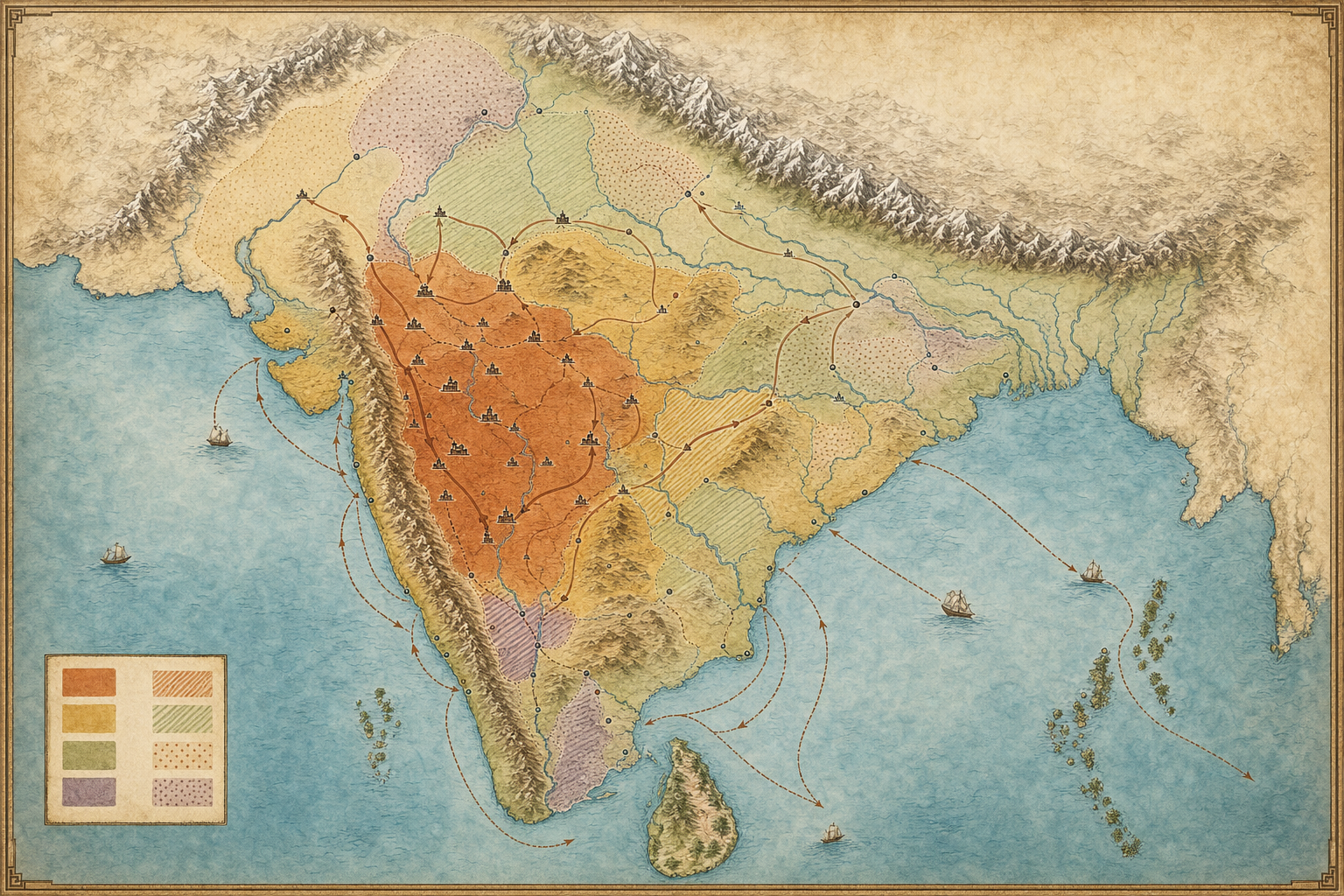
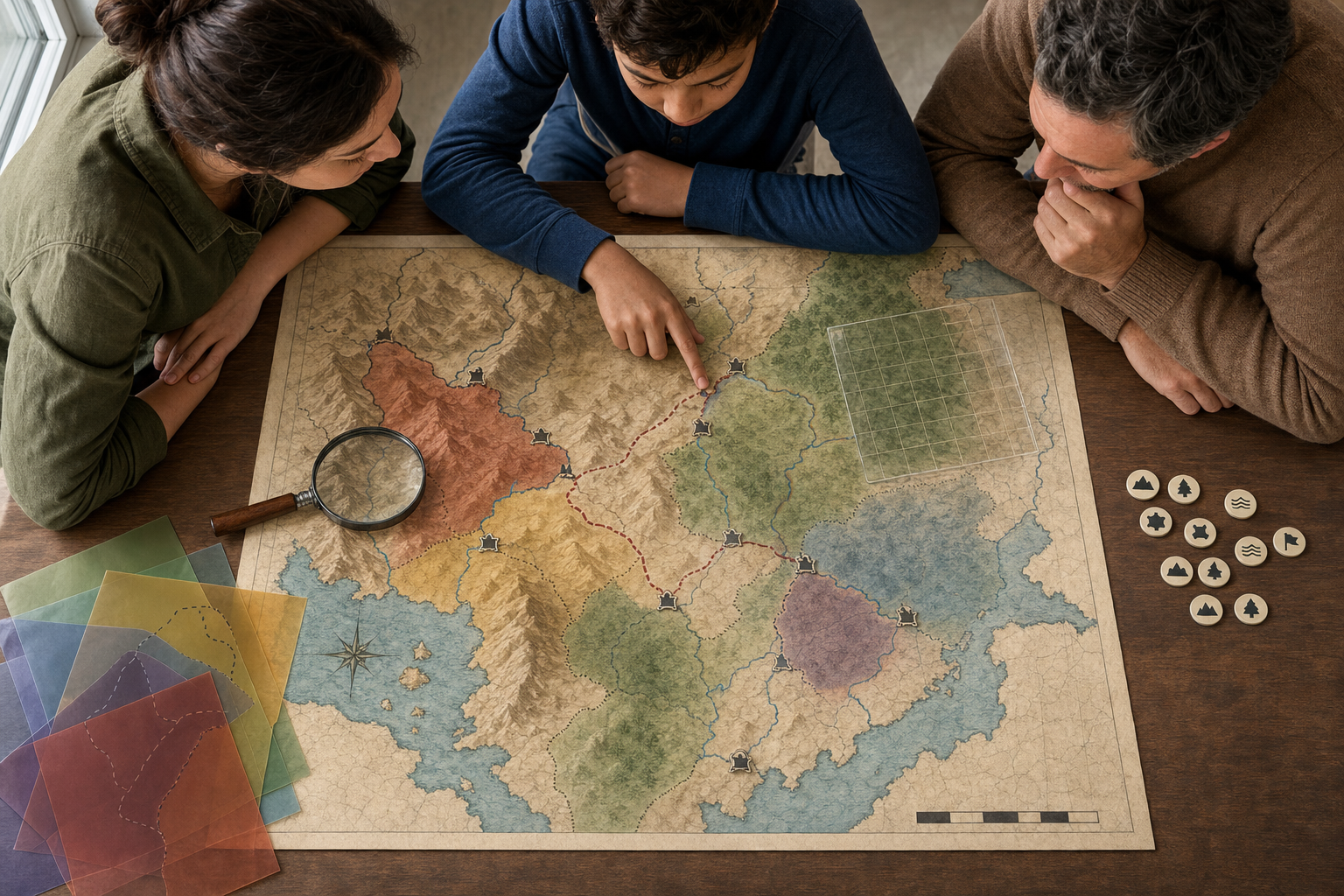
A single coloured silhouette labelled “Maratha Empire” would be easy to print and easy to misunderstand. The better solution is a sequence of dated layers, accompanied by a legend that tells the student what each colour, line and symbol actually claims.
| Map element | What should appear | What the student can learn |
|---|---|---|
| Time | Separate phases for core Swarajya, expansion under Baji Rao I, and later confederal zones, within a clearly stated frame such as circa 1674-1761 | Political reach changed over time; it did not appear fully formed |
| Political status | Different symbols for core territory, direct administration, suzerainty or tributary relationships, and broader influence or campaigning | Presence, influence and direct rule are not interchangeable |
| Terrain and movement | The Konkan, Sahyadris, Deccan plateau, strategic forts and major corridors towards Malwa | Topography, logistics, provisioning and revenue routes shaped political choices |
| Confederal centres | Baroda, Indore, Gwalior and Nagpur, identified with the Gaekwad, Holkar, Scindia and Bhonsle houses | Maratha power became geographically distributed rather than remaining a single-court story |
| Selected interactions | A discrete annotation for brief Maratha-Sikh cooperation connected with securing Lahore in 1758 | An alliance or joint action should not be mistaken for permanent territorial ownership |
The date in the title is essential. A map labelled only “Maratha Empire” invites the student to combine events from different decades into one timeless shape. A dated map tells the learner whether the colours represent an early core, a period of expansion, a confederal arrangement or a later situation altered by war and colonial intervention.
The Third Battle of Panipat in 1761 should be marked as a major turning point, but its battle symbol must not visually imply that Maratha power disappeared everywhere at that instant. The aftermath reshaped the political field; later colonial interventions reshaped it again. If the map stops at 1761, its caption should say so. If it extends beyond that year, it needs another layer rather than an unexplained change of colour.
A defensible caption should also state that eighteenth-century boundaries were dynamic and contested. Marathi bakhar literature, Persian chronicles and European records do not turn a fluid political landscape into a modern surveyed border. The map is a reasoned teaching model, not a claim that every frontier can be drawn with kilometre-level certainty.
This is not an exceptional standard invented for the Marathas. Students already encounter cartographic treatments of the Chola maritime reach, the Gupta heartland and early medieval trade networks. The eighteenth century deserves the same union of narrative, chronology and geography.
Teach the legend before asking a child to memorise the colours
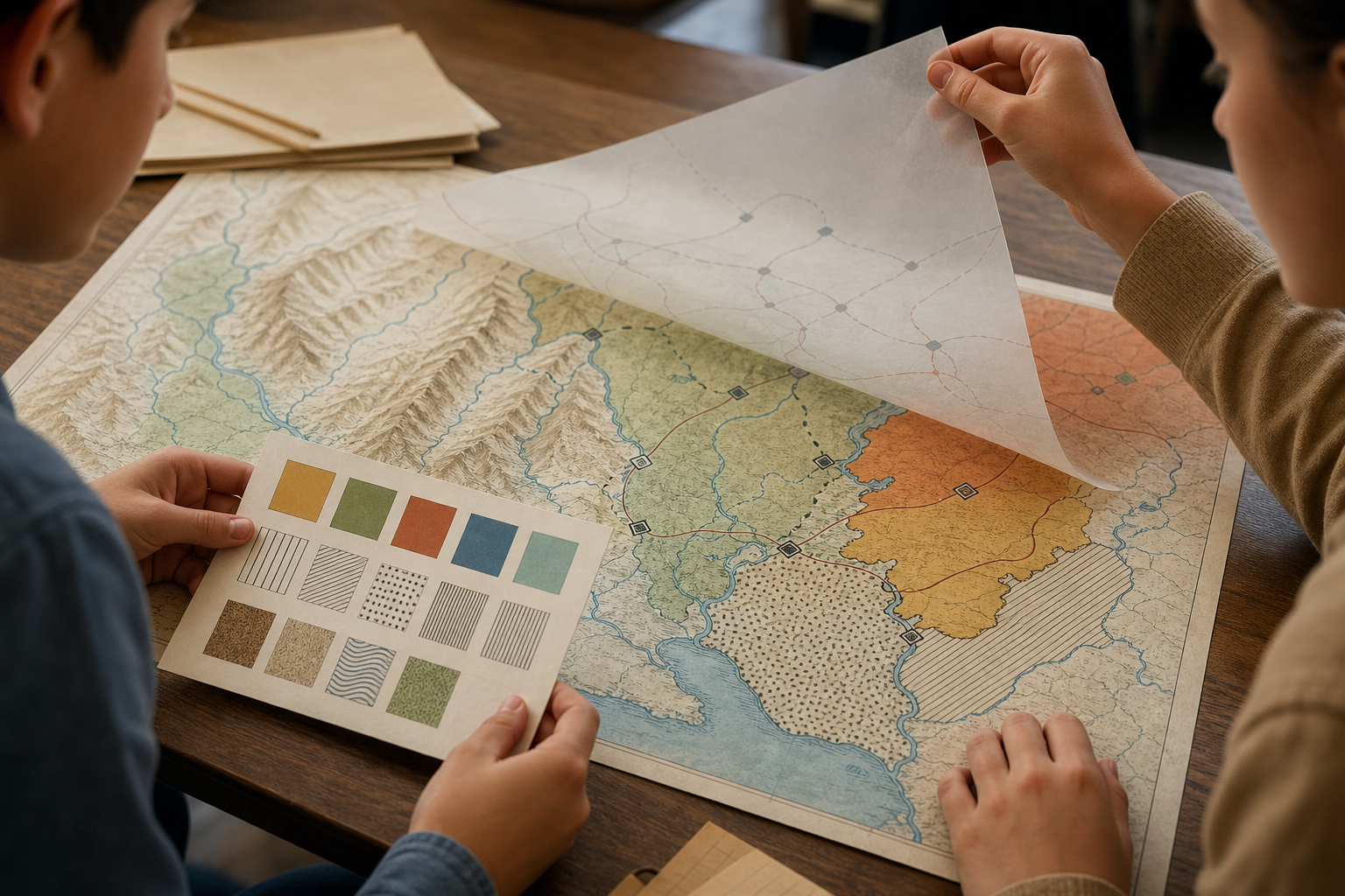
You can turn even an imperfect textbook map into a useful history exercise if you begin with its claims rather than its place-names. Work through the map in this order:
- Read the title and date first. Ask which historical moment the map represents. If no date is given, mark that as a limitation before interpreting the shaded area.
- Decode every symbol. Identify what the colours, arrows, fort icons, dotted boundaries and battle markers mean. Never allow “shaded” to become an automatic synonym for “directly ruled”.
- Locate the physical geography. Find the Konkan, the Western Ghats or Sahyadris, and the Deccan plateau before tracing expansion. Then ask why forts and routes would develop where they did.
- Trace change in phases. Begin with the Swarajya associated with Shivaji Maharaj, move to expansion under Baji Rao I, and then locate the Gaekwad, Holkar, Scindia and Bhonsle centres.
- Compare political categories. For each region, ask whether the map claims core control, suzerainty, confederal authority, military movement or looser influence. If the legend cannot answer, the map is overclaiming.
- Test one annotation. Use Lahore in 1758 to ask how cooperation between Maratha and Sikh forces should be represented. An event symbol or route can communicate collaboration without turning it into a permanent border.
After those steps, ask the student to explain one route aloud: where it begins, which terrain it crosses, which political centre it approaches and what kind of authority the map assigns there. That explanation reveals more historical understanding than asking the student to reproduce a coloured outline from memory.
A second useful question is: “What would change if this colour meant influence rather than direct administration?” The answer forces the learner to notice that maps are arguments made with categories. Colours appear precise even when the underlying relationship was negotiated, intermittent or disputed.
The exercise can then move from space to society. Ask how Sahyadri terrain affected fort strategy, how routes into Malwa affected provisioning and revenue, or how confederal centres distributed authority. The map has now become an inquiry tool rather than a decorative image beside the chapter.
Use measurable criteria when asking NCERT or a school to act
The strongest case for reinstatement rests on historical accuracy, learning value and a transparent review process. A general demand to honour Maratha greatness expresses a legitimate civilisational concern, but it gives a textbook reviewer little to assess. A precise request identifies the curricular defect and describes a workable remedy.
Before writing, inspect the edition in front of you. Record the textbook title, class, chapter, edition if shown, and page on which the map is absent or inadequate. Do not assume that every edition has identical pagination or visual content. Then request the following:
- A dated map sequence rather than one timeless territorial shape.
- A legend distinguishing core territory, direct administration, suzerainty, confederal zones and wider influence.
- Labels for the Konkan, Sahyadris, Deccan plateau, Malwa corridor and the principal confederal centres.
- Selective fort and route symbols tied to the relevant chapter paragraphs, without overcrowding the map.
- A caption explaining that sovereignty and frontiers were dynamic and contested.
- A clear treatment of 1761 as a turning point within a continuing chronology, not an unexplained visual endpoint.
- Readable contrast, patterns or symbols that do not rely on colour alone, and alt text that conveys the main spatial relationships to screen-reader users.
- Disclosure of the learning outcomes and cartographic criteria used during review.
A short request you can adapt
Please restore an age-appropriate map of Maratha political expansion to the Class 8 chapter on eighteenth-century formations. The map should use dated phases, distinguish core rule from suzerainty and wider influence, identify the Gaekwad, Holkar, Scindia and Bhonsle centres, and connect the narrative to the Sahyadris, Deccan routes and Malwa. Its caption should acknowledge contested boundaries, and its colours, legend and alt text should meet accessibility needs. Please explain the historical, pedagogical and cartographic criteria applied in reviewing this request.
You can add that these features support the inquiry-based learning, historical thinking and engagement with Indian Knowledge Systems emphasised by the National Curriculum Framework 2023. That moves the request beyond a preference for one image. It shows how the map serves an existing curricular purpose.
If you are a teacher, pair the request with one proposed classroom prompt. If you are a parent, include the exact confusion the missing map creates: for example, a learner cannot distinguish the western Swarajya core from later confederal reach. If you are a student, submit a labelled sketch showing the relationships the chapter leaves you to reconstruct. Each approach makes the educational consequence visible.
Key takeaways
- A Maratha map belongs in Class 8 history because the political story cannot be understood fully without its terrain, routes, regions and changing centres.
- Pan-Indian presence must not be confused with uniform direct rule; a sound legend separates territory, suzerainty, confederal authority and influence.
- At least three phases are needed: the Swarajya core, expansion under Baji Rao I, and the later confederal landscape.
- Baroda, Indore, Gwalior and Nagpur help students see how authority was distributed among the Gaekwad, Holkar, Scindia and Bhonsle houses.
- The most persuasive restoration request specifies dates, political categories, geography, accessibility and learning outcomes.
Open the chapter beside an outline map of Bharat and circle every regional name that the prose asks the learner to imagine. Sort those names under three headings: phase, place and type of authority. Whatever cannot be placed becomes the basis of a focused request to the teacher, school or NCERT. That is how you turn concern over an omission into a concrete improvement in historical education.