If you have opened a revised history chapter and found Maratha expansion reduced to a paragraph, the practical problem is not nostalgia. A learner is being asked to connect Pune, Satara, Nagpur, Lahore, Attock, Cuttack, and Panipat without seeing their spatial relationship. You need a map, but you also need the right kind of map.
The choice is not between celebrating Maratha power with an unqualified sweep of colour and removing the visual altogether. A well-designed map can show the extraordinary scale of Maratha activity while distinguishing administration, revenue rights, alliances, campaigns, garrisons, and reversals. That is the standard a teacher, parent, student, or curriculum reviewer should demand.
Treat every maximum-extent map as a historical claim
A political map appears authoritative because its borders are clean. Eighteenth-century authority was not. A single solid colour can make several very different relationships look identical: a district administered by officials, a ruler paying tribute, a region in which revenue was collected, an allied territory, and a city occupied during a military advance.
This distinction is indispensable when teaching the Marathas. Their power was exercised through combinations of direct government, tributary relationships, fiscal claims such as chauth and sardeshmukhi, local alliances, mobile armies, and temporary garrisons. If all of these appear as one uniform territorial block, students may remember the scale but misunderstand the state.
Before accepting any map labelled “Maratha Empire at its zenith,” ask five questions:
- What date, year range, or historical moment does the map represent?
- Does the legend distinguish administered territory from tributary or fiscal influence?
- Are campaign routes and temporary occupations shown with arrows, dotted lines, or another separate symbol?
- Does the map identify alliances without colouring allied territory as though it were directly governed?
- Does a caption explain what changed immediately before or after the selected moment?
If a map cannot answer those questions, its title should be narrower. “Maratha military and political reach” may be more accurate than “Maratha territory” when the image combines several forms of power. The map is still useful, but its legend must tell the truth about what the colours mean.
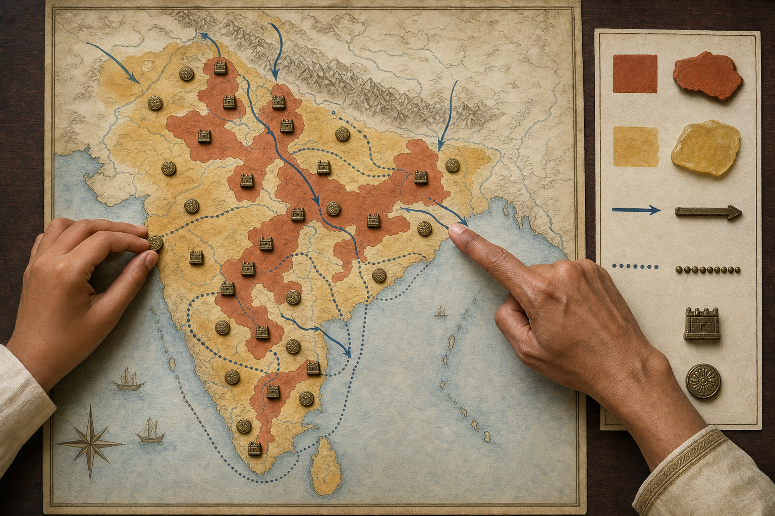
The best design is layered. Use a solid fill for territory under sustained administration, hatching for tributary or fiscal influence, arrows for campaigns, points for garrisons or captured cities, and a separate line for allied operations. A student can then see scale without mistaking mobility for uniform sovereignty.
Attock and Cuttack belong on the same map, but not in the same colour
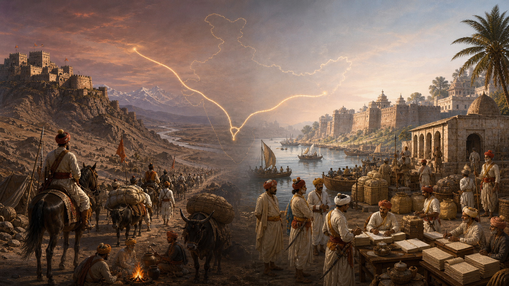
The expression “from Attock to Cuttack” works as a mnemonic because it gives students two distant endpoints. It communicates the geographical ambition and reach of Maratha power in a way that a paragraph rarely can. Its weakness is that the two endpoints represent different kinds and durations of authority.
In the northwest, Maratha forces working with local Sikh groups took Lahore and advanced to Attock in 1758, briefly dislodging Durrani garrisons. This was a striking projection of power, but it was not a permanently consolidated northwestern province. Ahmad Shah Durrani’s counteroffensives and the reversals of 1760-61, culminating in the Third Battle of Panipat, changed the position across northern India.
On the eastern side, the political pattern was more durable. The Bhonsles of Nagpur had established administrative control over much of Odisha, including Cuttack, by 1751. That connection continued until 1803, when the East India Company took Cuttack during the Second Anglo-Maratha War.
Those facts call for different cartographic treatment. Attock should be marked as the endpoint of the 1758 northwestern advance, perhaps with a campaign arrow and a caption about its brevity. Cuttack and the relevant parts of Odisha should be marked as an administered eastern sphere with the date range 1751-1803. Panipat should appear as a reversal marker, not as an unrelated battle floating elsewhere in the chapter.
This is the central lesson the map should teach: maximum reach, direct rule, and durable control are not synonyms. Qualifying the Attock-Cuttack formulation does not diminish the Maratha achievement. It makes the achievement intelligible. Students can see both the capacity to operate across a vast subcontinent and the logistical, military, and political limits that made some gains more durable than others.
A dharmic reading should show cooperation without erasing difference
A civilisational interpretation becomes stronger when it is grounded in relationships visible on the map. The Maratha-Sikh cooperation associated with the 1758 northwestern campaign gives students a concrete example of dharmic communities acting in a shared geopolitical setting. It is more educational than a vague assertion of unity because it invites questions about who cooperated, where, for what immediate purpose, and with what result.
The same care applies elsewhere. Maratha administration and commerce intersected with Hindu, Sikh, Jain, and Buddhist communities, including financiers, local power holders, and pilgrimage networks. Those connections should be visible in the surrounding lesson, but they should not be converted into a claim that every community formed one political bloc or experienced every regional administration in the same way.
You can keep the civilisational frame precise by asking students three kinds of questions:
- Which communities, rulers, military groups, and financial networks enabled movement or administration in this region?
- Was the relationship one of direct government, alliance, tribute, revenue collection, commercial cooperation, or temporary military necessity?
- Did that relationship endure, or did it change after a campaign, treaty, succession, or defeat?
This approach avoids two familiar errors. The first reduces Indian history to disconnected regional stories and prevents students from seeing civilisational interaction. The second turns civilisational unity into an excuse for flattening political difference. A sound dharmic history education can affirm shared inheritance while remaining exact about institutions, interests, and chronology.
A useful follow-on exercise is to compare the northwestern Maratha advance with later Sikh consolidation under Ranjit Singh. The point is not to rank the two powers. It is to help students distinguish a campaign’s furthest reach from a later state’s sustained territorial organisation.
Turn the map into evidence with a repeatable classroom sequence
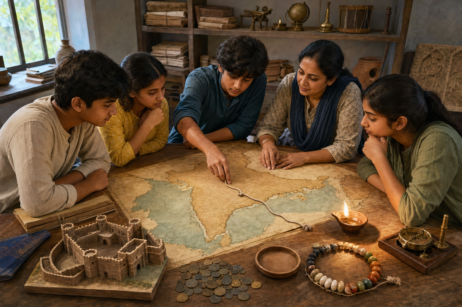
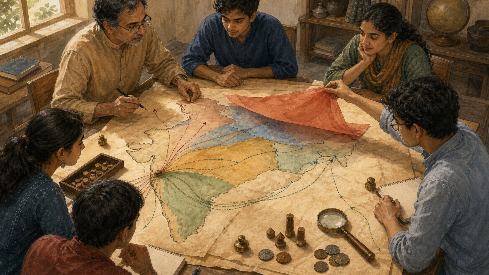
A map earns its place in a textbook when students do something with it. Merely displaying a coloured expanse replaces one form of memorisation with another. The following sequence works with a printed map, a projected image, or a teacher-made worksheet.
- Begin with a blank outline map. Have students locate Pune, Satara, Nagpur, Cuttack, Lahore, Attock, and Panipat before adding political shading. These places become anchors for the narrative.
- Write the date or date range at the top before drawing any boundary. If the class is comparing change over time, use small panels labelled c. 1710, c. 1751, c. 1758, and c. 1765 rather than combining every development into one timeless image.
- Build the legend before colouring the map. Assign separate symbols to core or administered territory, tributary influence, fiscal rights, campaign routes, garrisons, and alliances.
- Add the eastern and northwestern cases separately. Mark Odisha and Cuttack in relation to Bhonsle administration from 1751 to 1803. Mark Lahore and Attock in relation to the 1758 advance and identify its temporary character.
- Place Panipat into the sequence. Ask students to compare the 1758 panel with the post-Panipat panel and describe what a maximum-extent image would conceal.
- Finish with a written claim that uses at least one qualifier. The learner should explain not only where Maratha power reached, but what kind of power the map represents in each region.
A strong answer might read: “Maratha forces reached Attock in 1758 during a brief northwestern advance undertaken with local Sikh cooperation, while Bhonsle control over Cuttack formed part of a more durable administration in Odisha from 1751 to 1803.” That sentence shows that the student has read the legend rather than merely remembered the outermost points.
For older students, add a second task: redraw the same information using only one colour but several line styles. They will quickly discover that cartographic choices are historical arguments. For younger students, keep the categories to three – sustained administration, wider influence, and campaign reach – and preserve the more technical distinctions for the teacher’s note.
Assessment should reward qualified explanation. A student who writes “the Marathas ruled everything from Attock to Cuttack in the same way” has missed the lesson, even if the endpoints are correct. A student who denies the significance of the reach because Attock was not permanently held has also missed it. The desired answer recognises scale, form, duration, and reversal together.
Judge textbook revisions by what students can understand afterward
NCERT’s textbook rationalisation has been associated with reducing duplication, limiting content load, and aligning material with the National Curriculum Framework 2023. Those are legitimate curricular aims. A crowded book does not become better merely by retaining every old illustration.
But a map is not redundant simply because nearby prose mentions the same places. Text and cartography perform different work. Prose can explain causation and sequence; a map shows distance, direction, regional connection, and the relationship between several theatres at once. If removing a map leaves students unable to visualise the argument, the revision has removed a method of understanding rather than a duplicate fact.
The challenge filed before the Bombay High Court over the map’s removal has made curricular process part of the controversy. Yet the durable educational remedy is not simply to restore an old image without scrutiny. It is to require a map that meets a transparent standard of historical and pedagogical quality.
Use this checklist when reviewing a textbook, supplementary worksheet, museum graphic, or viral map:
- The title states whether the image shows territory, influence, campaigns, revenue claims, or a combination.
- A visible date or date range prevents developments from different years being mistaken for simultaneous control.
- The legend separates direct administration from tributary, fiscal, allied, and military relationships.
- The 1758 reach to Lahore and Attock is present but identified as brief.
- Bhonsle administration in Odisha, including Cuttack from 1751 until 1803, is not treated as equivalent to the temporary northwestern advance.
- The Third Battle of Panipat is connected to the reversal of northern gains rather than presented as an isolated event.
- Comparable care is applied to maps of Mughal, Vijayanagara, Sikh, and other Indian polities.
- A teacher’s note or digital supplement supplies detail that cannot fit cleanly on the printed page.
A compact series of small maps will often teach more than one dramatic maximum-extent image. Where print space is genuinely limited, a clearly signposted digital supplement can preserve high-resolution layers, campaign routes, and explanatory captions. What should not disappear is the spatial reasoning itself.
Key takeaways
- Keep the Attock-Cuttack scale visible, but do not present it as one uniform category of rule.
- Mark Attock as the endpoint of the brief 1758 advance and Cuttack as part of the more durable Odisha administration.
- Require every maximum-extent map to carry a date, a layered legend, and a note about subsequent reversals.
- Use the map to teach Maratha-Sikh cooperation and wider dharmic interaction without turning distinct communities into a single undifferentiated political actor.
- Assess whether students can explain the kind and duration of authority, not merely recite the furthest endpoints.
The next time you teach or discuss this chapter, put a blank outline map beside the prose. Ask the learner to mark the places, build the legend, and explain why Attock and Cuttack need different symbols. That small exercise preserves the civilisational scale of the Maratha achievement while giving students the habits of precision that serious history demands.