
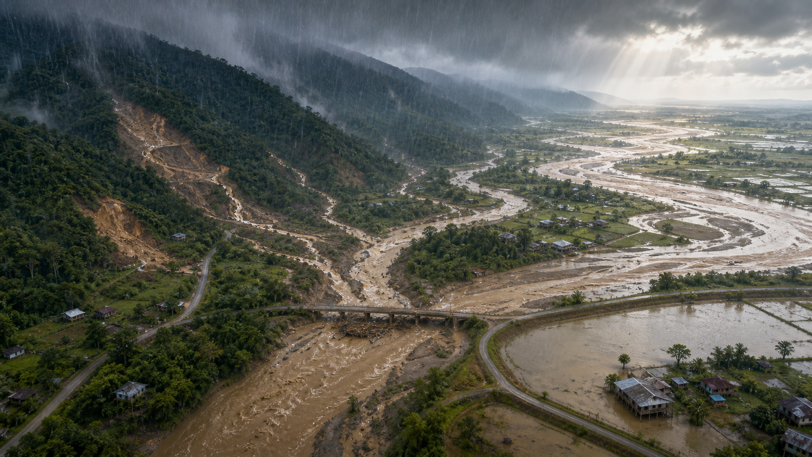
If you are trying to decide whether eastern Assam’s flooding was a natural monsoon disaster or the consequence of mining in Nagaland, reject that forced choice. Rain supplied the water. The condition of the hills influenced how quickly it moved and how much mud and debris it carried. Rivers, embankments, roads and reservoir operations then shaped what happened downstream.
The useful question is not whether mining or rain caused the flood in isolation. It is how much each part of the system amplified the danger, which evidence can establish that share, and what Assam and Nagaland must change before another prolonged spell of rain exposes the same weaknesses.
Heavy rain is the trigger, but the watershed sets the response
A forested hill is not a waterproof barrier. During sustained monsoon rain, even healthy soil can become saturated and release large volumes of water. But vegetation, leaf litter, roots and uneven ground normally slow part of the flow, support infiltration and reduce the ease with which exposed soil is carried downhill.
Mining and construction can alter that response where they remove tree cover, compact soil, cut into slopes or leave spoil exposed. Water then has fewer places to pause. It can reach streams more quickly and carry sediment with it. That creates a plausible route by which disturbed land in the Naga Hills can make a downstream flood arrive faster, muddier or more destructively than rainfall alone would indicate.
This mechanism needs two qualifications. First, a large storm can overwhelm a well-forested catchment, so forest protection cannot eliminate monsoon flooding. Second, finding a damaged or mined slope does not prove that it caused flooding in a particular Assam village. That requires rainfall, land-cover, river-flow and sediment measurements from the relevant sub-catchment.
Geography matters as well. Conditions in the Naga Hills are most directly relevant to the eastern Assam valleys and tributaries that receive water from those hills. They should not be used as a universal explanation for every flood across Assam’s much larger river system.
The rainfall episode itself was substantial. From 18 to 20 July, persistent rain affected Assam and Nagaland, while water and debris descended from Mon, Mokokchung, Longleng and Wokha districts. As much as 137 millimetres of rain was recorded in Mon during the reported spell.
The India Meteorological Department rejected the early description of the event as a cloudburst. Its stated criterion requires at least 100 millimetres of rain within one hour over a small area, and the episode did not meet that classification. That correction is important: a dramatic label cannot substitute for a time series. A multi-day accumulation and a one-hour rainfall intensity are different measurements, and they create different warning and planning problems.
A flood moves through a chain, not a single cause
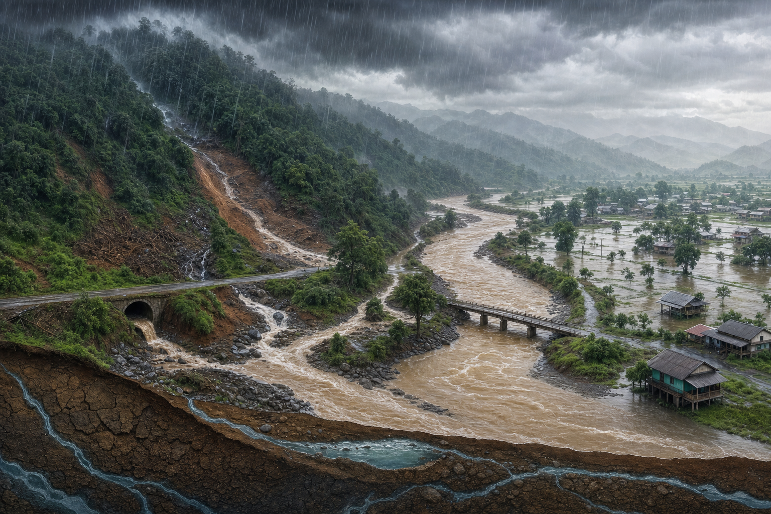
To understand the danger to Assam, follow the water from the hilltop to the household. Each link can increase the consequences of the one before it.
- Persistent rain wets and eventually saturates the catchment. Once the soil cannot accept much more water, a greater share runs over the surface or moves rapidly into streams.
- Disturbed slopes can accelerate runoff. Where mining, tree removal, road cutting or construction has left compacted or exposed ground, the water may move faster and entrain more loose material.
- Sediment and debris enter smaller channels. Mud, mining spoil and landslide material can constrict streams, obstruct culverts or settle in places where it reduces effective channel space. The exact effect depends on where and when the material moves.
- Several tributaries rise within the same period. Downstream danger depends not only on total rainfall but also on whether tributary peaks arrive together. A village beside the Disang, Dikhou, Dorika, Dhansiri, Bhogdoi or Burhi Dihing therefore needs station-specific information, not only a general update about the Brahmaputra.
- Reservoir operations can add another pulse. Water released from the NEEPCO-operated Doyang hydroelectric project worsened conditions in downstream areas after runoff was already arriving from the hills. Determining its precise contribution requires release times, volumes, reservoir inflows and downstream gauge readings.
The scale of the reported damage shows why this chain matters. In the flood snapshot available by Saturday, the Assam State Disaster Management Authority recorded at least 61 deaths, with additional people missing. About 7.45 lakh people in roughly 935 villages were affected. Nearly 50,000 hectares of agricultural land were damaged, and more than 1.25 lakh domesticated animals, including poultry, were swept away. At least 250 relief camps were established.
Those figures describe consequences; they do not allocate causation. It would be irresponsible to use the death toll as proof that a particular mine caused the disaster. It would be equally irresponsible to call the losses unavoidable without examining whether damaged slopes, poorly managed spoil, embankment failures, obstructed drainage or reservoir releases increased them.
Flood risk also continues after the visible surge. Damage to roads, bridges and embankments can prevent drinking water and health services from reaching families. Agricultural loss does not end when water recedes: damaged fields and lost livestock carry the disruption into household income and food production. That is why watershed management, emergency access and public-health preparation belong in the same plan.
Key takeaways
- The episode was driven by persistent heavy rain, but it did not meet the India Meteorological Department’s cloudburst definition.
- Forest loss, mining disturbance and exposed slopes provide a credible mechanism for faster, more sediment-laden runoff from parts of the Naga Hills.
- That mechanism is not yet a quantified attribution. Mine locations, land-cover change, rainfall intensity, river gauges and sediment measurements must be aligned before assigning a share of the flood to mining.
- The Doyang release should be examined as one link in the sequence, using actual inflow, storage, release and downstream timing data.
- Assam cannot manage this risk only through downstream rescue. Nagaland and Assam need a shared catchment plan that connects land-use enforcement, river monitoring, reservoir communication and village warnings.
The evidence needed to establish mining’s share
Separate what is established from what remains an allegation
Three different propositions are often compressed into one political argument. The first is established for the episode: prolonged rain fell across the upstream and downstream areas, rivers rose, debris came down from hill districts, and a Doyang release added water to an already stressed system.
The second is physically plausible: removal of trees and disturbance from coal mining or construction can change runoff and sediment delivery. Sivasagar MLA Akhil Gogoi has argued that unplanned construction, uncontrolled mining and forest destruction in Nagaland intensified Assam’s flooding. That position deserves investigation because the mechanism is credible, not automatic acceptance because the claim is politically forceful.
The third remains unresolved: how much legal mining, allegedly illegal mining, other construction, natural landslides, extreme rainfall, channel conditions, embankment failures and the Doyang release each contributed. Even the description of an operation as illegal should be tested against permits, lease boundaries, inspection records and enforcement orders. Hydrological suspicion and legal proof are different questions.
A minimum evidence set for a credible inquiry
You do not need to accept a vague assurance that a committee will examine the matter. A credible inquiry should publish enough information for the sequence to be independently checked:
- Hourly rainfall records: Gauge and available radar information should cover Mon, Mokokchung, Longleng and Wokha as well as the affected Assam sub-catchments. Daily totals alone cannot show when the sharpest runoff was generated.
- Time-stamped river data: Water level and, where available, discharge should be shown for individual stations on the hill-fed tributaries. A district-wide statement that rivers were rising is not enough to reconstruct the flood wave.
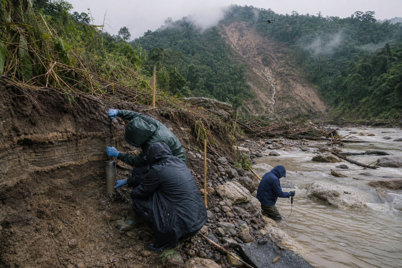
- Land-cover change: Maps should identify forest removal, mine footprints, haul roads, construction cuts and landslide scars over time. Each disturbed area should be tied to the stream that drains it.
- Permit and enforcement records: Authorities should distinguish licensed operations, work beyond permitted boundaries, abandoned sites and operations formally found to be illegal. Otherwise, lawful and unlawful activity will be blurred together.
- Site-level drainage and spoil controls: Inspections should show whether exposed earth, waste piles, drains and slope protections complied with permit conditions before the rain, not only after damage occurred.
- Sediment evidence: Turbidity, suspended-sediment observations, deposited material and blocked crossings should be mapped downstream of disturbed and less-disturbed catchments. This is necessary to test the claim that mining-related material intensified the flow.
- Doyang operating records: Reservoir level, incoming flow, gate-opening times, release volumes, warning times and downstream gauge response should appear on one timeline.
- Failure chronology: Embankment breaches, bridge damage, culvert blockage and road failures should be recorded with locations and times. Infrastructure that failed before peak water can alter where the water travelled.
The decisive step is synchronization. A mine map from one year, a rainfall total from another interval and a river peak with no timestamp cannot establish causation. All records must be placed on the same catchment map and event timeline. That allows investigators to ask whether disturbed basins produced earlier or more sediment-heavy peaks than comparable basins under similar rain.
This evidence may show a large mining effect, a limited local effect or an effect overshadowed by rainfall and other failures. A serious inquiry must remain open to each outcome. Its purpose is to locate preventable risk, not to protect a preferred explanation.
A basin plan must connect Nagaland’s slopes to Assam’s villages
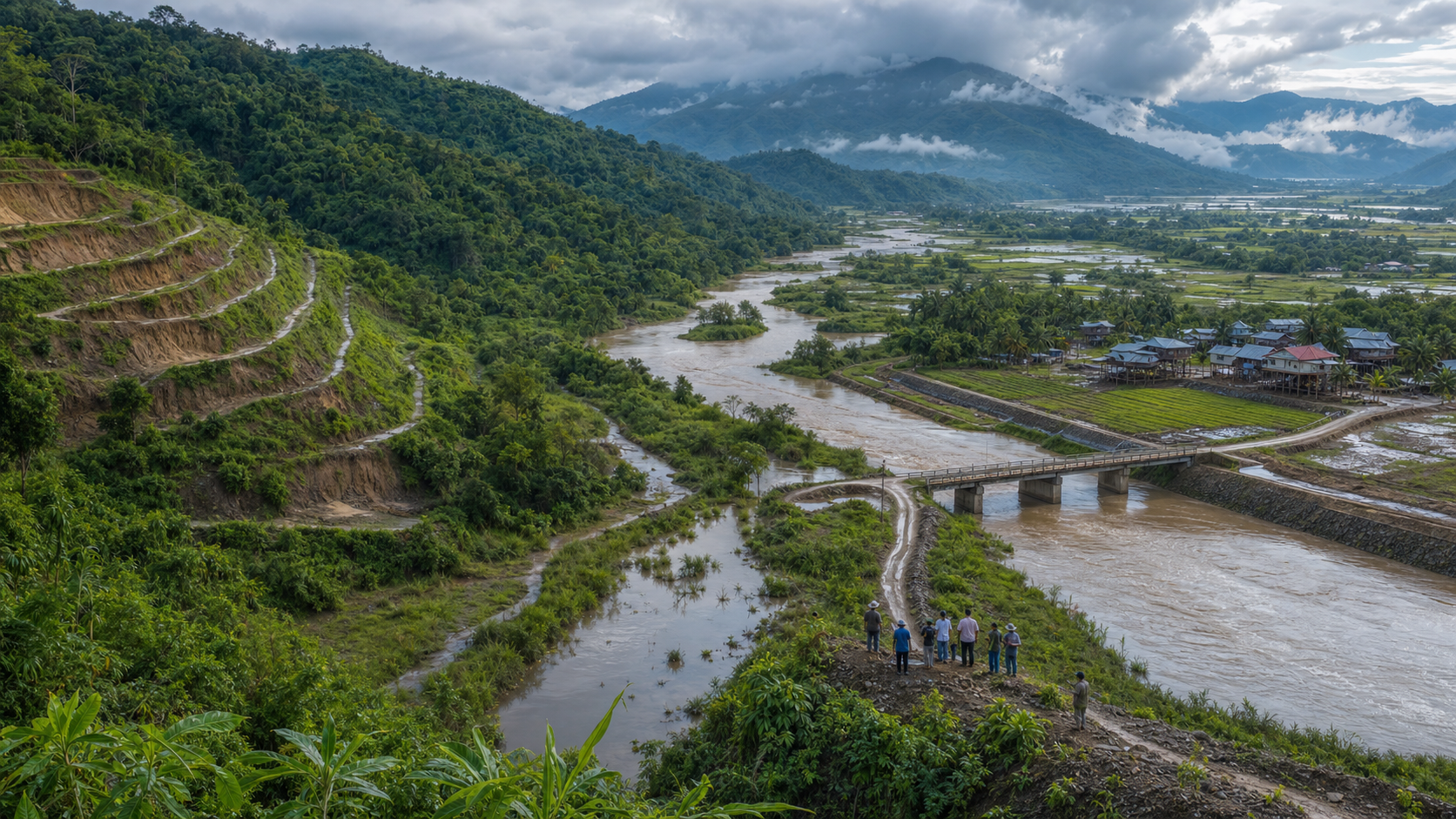
A dharmic public ethic begins with a simple obligation: development uphill should not transfer concealed costs to families downhill. That obligation does not require rejecting roads, energy projects or mineral extraction. It requires honest accounting, lawful operation and prevention of foreseeable harm across a shared landscape.
The administrative boundary between Nagaland and Assam does not stop water, sediment or a flood wave. The practical response must therefore be organized by catchment as well as by state.
- Create a joint sub-catchment inventory. Assam and Nagaland should map every relevant tributary from disturbed hill area to exposed downstream settlement. The inventory should identify mines, forest loss, road cuts, landslide zones, gauges, bridges, embankments and villages requiring warnings.
- Inspect mining before the monsoon, not only after a disaster. Permit boundaries, drainage, spoil containment and slope stability should be checked while corrective work is still possible. Operations found non-compliant should face measures available under the applicable law, including a pause where continued work creates an immediate slope or runoff hazard.
- Use short-term stabilization and long-term restoration for different jobs. Drains, safe spoil containment, sediment controls and stabilization of exposed cuts address immediate vulnerability. Re-establishing durable vegetation and protecting streamside cover take longer but reduce recurring degradation. Tree planting alone cannot repair an unsafe spoil pile before the next heavy rain.
- Publish a Doyang communication protocol. Operationally possible advance warnings, release schedules, inflow and outflow data, and downstream contact points should be available to district authorities and exposed communities. Emergency releases may sometimes be necessary, but downstream responders should not have to discover them from a rising river.
- Build warnings from several signals. Alerts should combine upstream rain, tributary gauges, landslide or debris reports and reservoir operations. Waiting for a cloudburst declaration would miss prolonged events that do not meet the cloudburst threshold but still generate dangerous cumulative runoff.
- Protect relief lifelines. Plans should identify alternate routes and pre-positioned capacity for drinking water, essential health support and livestock movement where roads, bridges or embankments are likely to fail.
- Publish a post-event accountability record. Each major flood should end with a public timeline of warnings, releases, enforcement actions, infrastructure failures and response gaps. Recommendations without named agencies, deadlines and completion status are difficult for citizens to track.
If you live in an exposed part of eastern Assam, monitor more than your local rainfall. Upstream conditions in the relevant Nagaland districts, the gauge for your nearest tributary and any Doyang release notice may tell you more about the approaching threat than a broad state-wide forecast. Use official evacuation instructions, and prepare essential medicines, documents, drinking water arrangements and livestock movement before access roads fail. Do not approach a mine, unstable slope or flooded riverbank to gather evidence during heavy rain.
If you are a journalist, community organization or elected representative, ask for five records by name: hourly rainfall, station-level river readings, mapped mining permits and enforcement actions, Doyang inflow and release logs, and the timed list of embankment and road failures. Those records move the debate beyond competing slogans.
The next time Assam’s losses are dismissed as merely natural, ask what happened to the catchment before the rain arrived. The next time mining is blamed for the entire disaster, ask for the sub-basin hydrograph, sediment evidence and release timeline. That disciplined middle ground is not indecision. It is how public anger becomes enforceable prevention before the next monsoon test.