
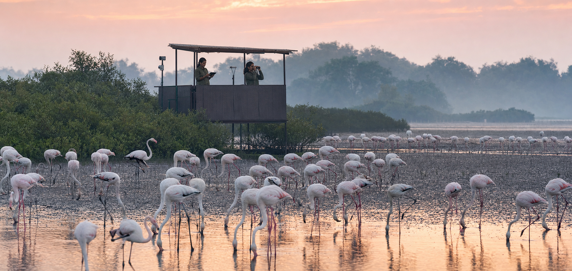
If you are wondering whether AI can genuinely protect the birds of Thane Creek, ask one practical question: what happens after the system detects something? A camera classification or an acoustic alert has no conservation value by itself. It matters only when a person verifies it, a responsible manager makes a decision, and the result can be checked.
Maharashtra has approved a ₹45-crore Eco-Nature Park at the Thane Creek Flamingo Sanctuary, with an AI-powered bird detection and monitoring centre at its core. The proposal could give Bharat a valuable model for technology-assisted conservation. Whether it does so will depend less on the novelty of the equipment than on the quality of the decisions built around it.
What is actually planned at Thane Creek
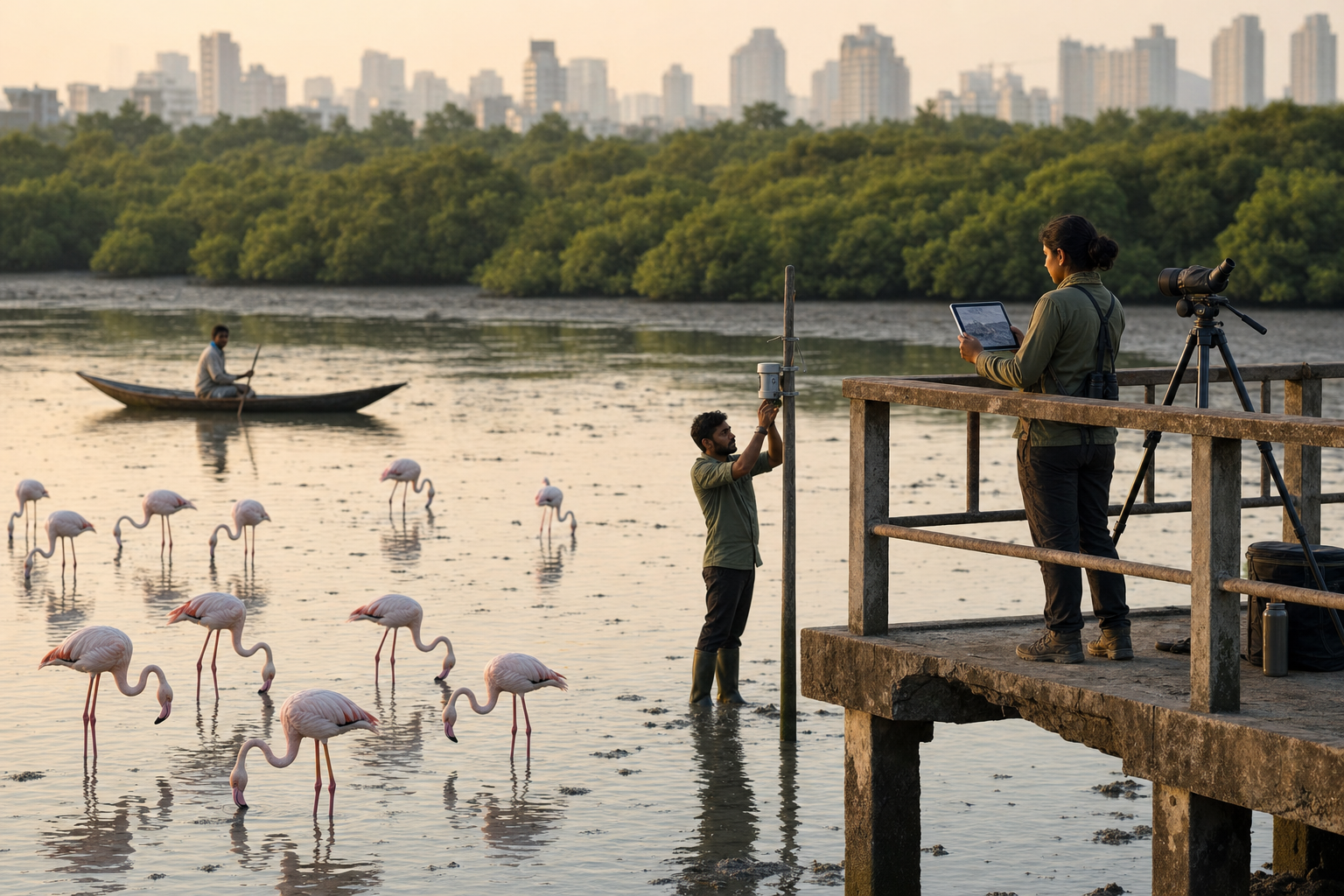
The planned centre is essentially an observation system. AI-enabled cameras, acoustic sensors and data analytics are intended to identify birds from images and sounds. The same system is expected to track populations, migration patterns, nesting activity and behaviour in real time.
Each part has a different job. Cameras create visual records. Acoustic sensors listen for recognisable calls and other sounds. Analytical software sorts those records, proposes identifications and highlights patterns that might deserve human attention. Combining these channels can give conservation teams more evidence than either channel alone, particularly when a bird is heard but not clearly photographed, or seen without a usable call.
There are two limits you should keep in view. First, the declared operating stretch is 1.5 kilometres. That is a defined monitoring corridor, not evidence of complete coverage across every part of the sanctuary. A coverage map will eventually be needed to show what the system can and cannot observe.
Second, ₹45 crore is the approved value of the Eco-Nature Park, which includes the monitoring initiative. It should not be described as the price of the AI system alone unless a formal cost breakdown establishes that. Equipment, park works, installation and continuing operations are different costs, and collapsing them into one headline figure makes serious scrutiny harder.
Detection must lead to a conservation decision
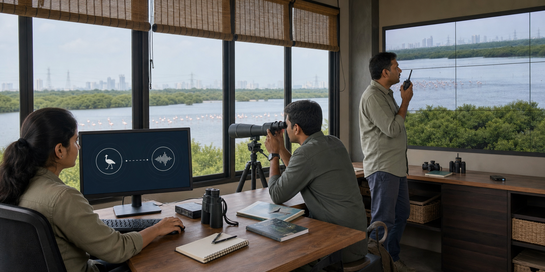
Real-time monitoring can shorten the interval between an observable change and human awareness. It cannot decide, by itself, what that change means. A drop in detections might reflect bird movement, a change in conditions, an obstructed camera, background noise or a failed sensor. An unusual image might be ecologically important, or it might simply be a poor classification.
A credible operating system therefore needs a complete chain:
- Capture: A camera or acoustic sensor records an image, sound or sequence of observations with a reliable time and location.
- Classify: The software proposes a species identification or flags a pattern for attention, while retaining its confidence level and the original record.
- Verify: A trained person checks important or uncertain detections and confirms that the equipment was functioning properly.
- Decide: The responsible conservation team determines whether the observation requires field inspection, closer monitoring or a habitat-management response.
- Evaluate: The team records what it did and later checks whether that action improved the situation it was meant to address.
The phrase real time applies most directly to capture and analysis. It does not prove that verification, management or evaluation will also happen promptly. When the centre becomes operational, response timestamps will be more revealing than a live dashboard: when was an alert created, when was it checked, who decided what to do, and when was the case closed?
Population tracking requires similar care. One hundred detections do not necessarily mean one hundred different birds; the same individual may pass a camera more than once or call repeatedly. Conversely, a bird that is not detected is not necessarily absent. Useful population estimates need a stated sampling method, checks for repeated detections, records of sensor downtime and an honest account of uncertainty.
Minimal disturbance should be measured, not presumed
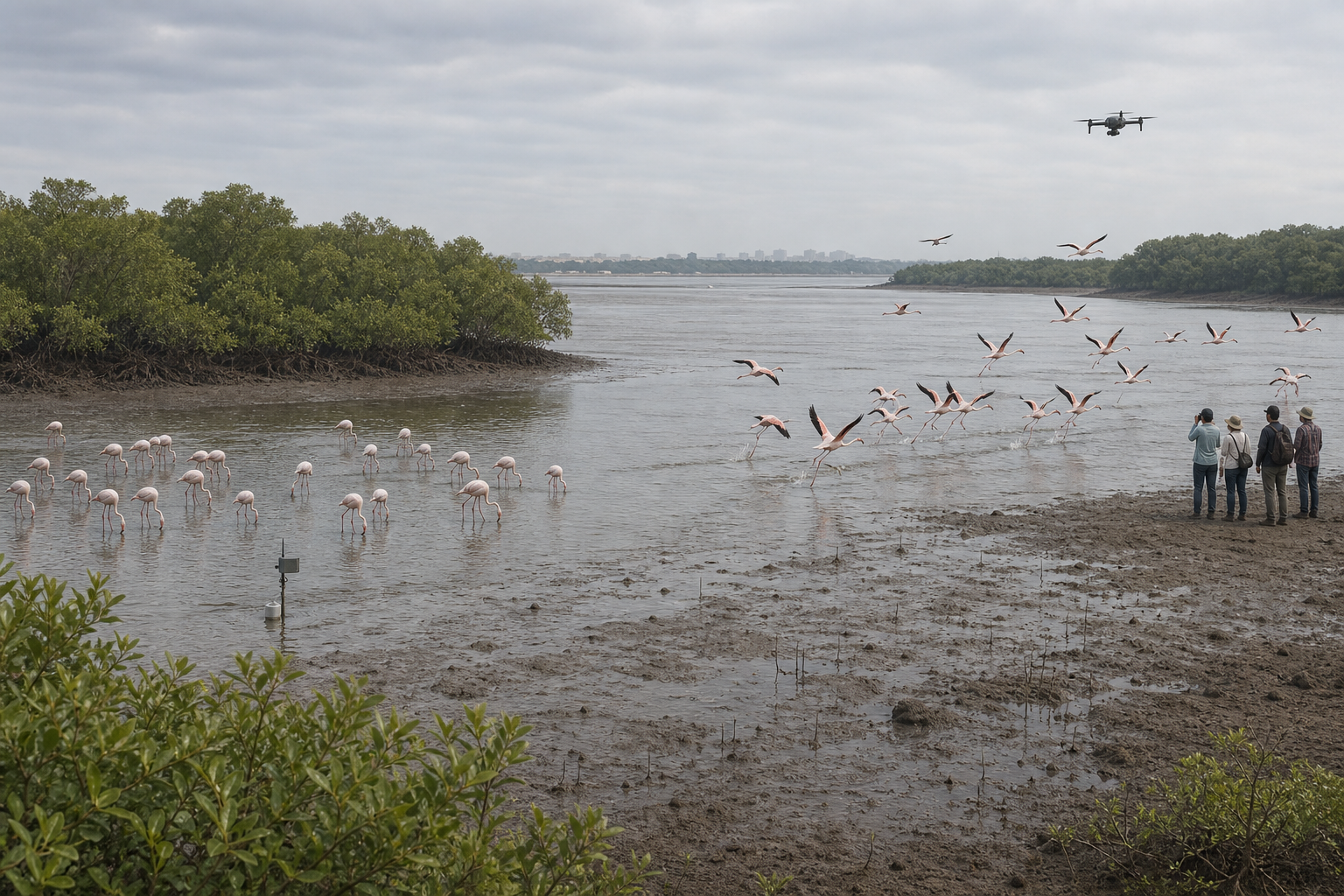
The system is designed to work with minimal disturbance to the habitat. That is the right design objective. Remote monitoring can reduce the need for people to approach birds repeatedly just to collect routine observations. It can also create a continuous record without requiring a human observer to remain at every location.
Minimal disturbance, however, is a claim to be demonstrated during installation and operation. Cameras and sensors still have to be positioned, powered, inspected, cleaned and repaired. Maintenance routes, equipment visibility, artificial light, sound from devices and the frequency of site visits all deserve attention. The relevant test is not whether the technology is labelled non-invasive, but whether bird behaviour and habitat use remain undisturbed around the monitored locations.
A sensible assessment would record conditions before deployment, during installation and after routine operation begins. If a monitored location shows an unexpected change, managers should be able to distinguish an ecological signal from an effect of the equipment or maintenance activity. That requires dated field observations alongside the automated data.
Visitors also have a part to play. Do not approach or deliberately disturb birds to test whether a camera notices them, and follow every access restriction posted at the sanctuary. A monitoring system is not permission to turn wildlife into a demonstration. Its purpose is to reduce uncertainty for conservation teams while allowing the birds to behave naturally.
Six tests that separate conservation from a technology showcase
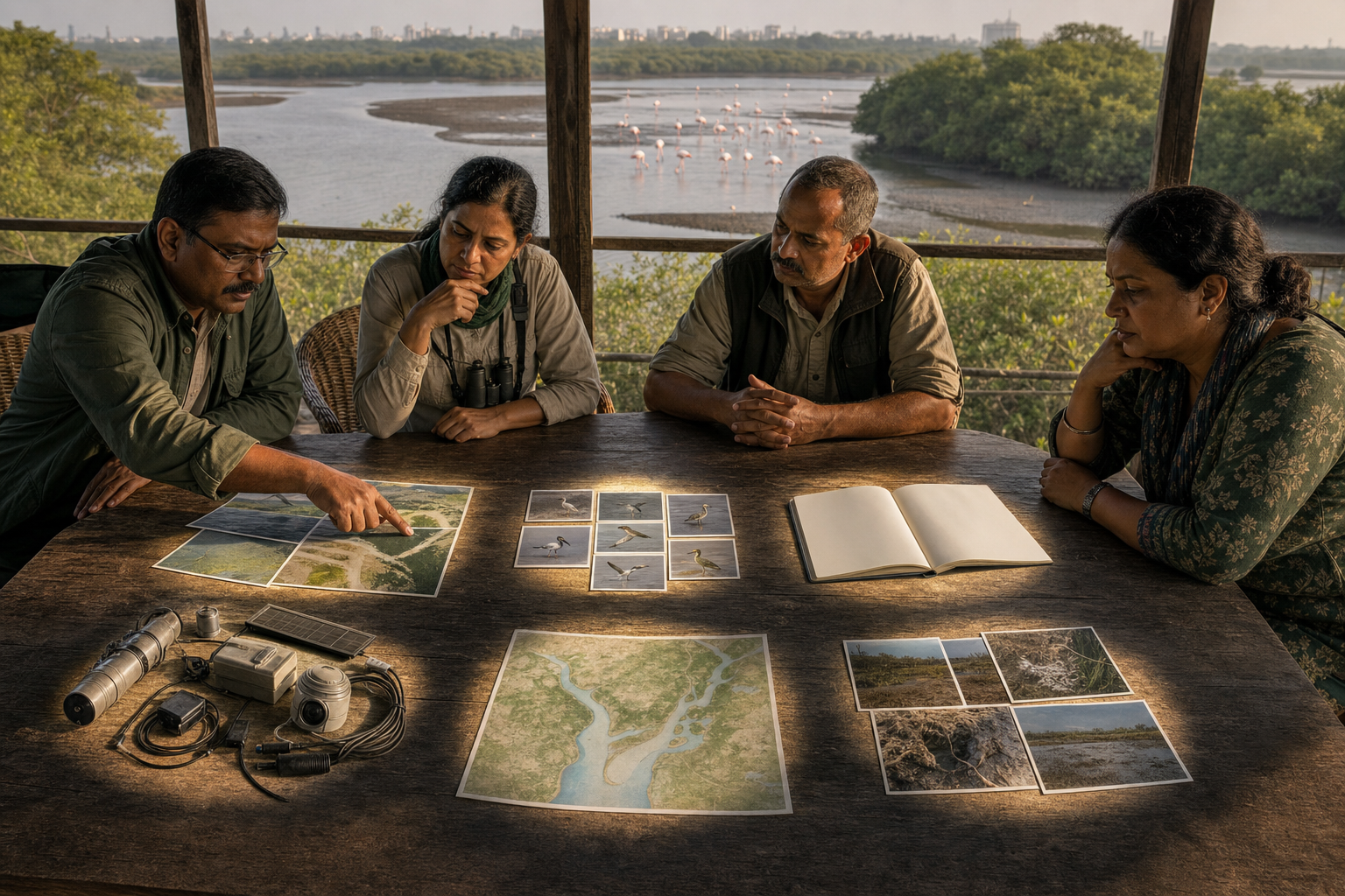
You do not need to be an AI specialist to judge the project. Ask for evidence in six areas:
- A baseline: What was known about bird detections, migration, nesting and behaviour before the new system began operating? Without a baseline, a later rise or fall cannot be interpreted responsibly.
- A coverage and uptime record: Which parts of the 1.5-kilometre stretch are visible or audible to the sensors? Where are the blind spots, and how much data was lost when equipment was offline?
- Species-level validation: How often are proposed identifications checked by qualified people? An overall accuracy percentage can conceal weak performance for particular species, sounds or operating conditions. False positives and false negatives should be reported separately.
- A response protocol: Which role receives an alert, what requires field verification, who can authorise a habitat-management response, and how is the outcome recorded? If nobody owns the next step, real-time detection becomes an unattended notification.
- Clear data governance: Who can view, change or export the records? How long are original images and sounds retained? If cameras can capture visitors or workers, access and retention rules should address that possibility explicitly.
- Ecological outcomes: Detection totals, processed recordings and dashboard activity are operational outputs. Conservation success must be shown through better-informed habitat management, timely responses and a documented improvement in the problem an intervention was meant to address.
Budget scrutiny belongs in the same framework. The useful breakdown is not simply hardware versus software. It should distinguish installation, connectivity, maintenance, model updates, data storage, expert validation and field response. A system that can be purchased but not maintained will gradually produce less dependable evidence while still looking impressive on a screen.
Public reporting should preserve methodological changes as well. If a camera is moved, a sensor is replaced or the identification model is updated, comparisons with older data may change. Marking those events in the record prevents a technical change from being misread as a sudden ecological change.
Key takeaways: what you should look for next
- Treat the initiative as an approved conservation plan, not yet as proof of a successful outcome.
- Read the 1.5-kilometre figure as the stated monitoring boundary unless a later coverage map establishes more.
- Read ₹45 crore as the value of the Eco-Nature Park, not as a confirmed standalone price for its AI component.
- Ask for a baseline, sensor uptime, species-level validation and human audit procedures before accepting detection totals at face value.
- Judge real-time monitoring by the response chain after an alert, not by the speed at which a label appears on a dashboard.
- Look for ecological decisions and documented results; the number of cameras, recordings or classifications is not the final measure.
If you are a resident, journalist or conservation group following the project, five documents will reveal much more than a technology demonstration: the sensor coverage map, the pre-deployment baseline, the validation protocol, the alert-response workflow and the recurring operations plan. Together, they show where the system can observe, how trustworthy its classifications are, who acts on them and whether it can keep working after installation.
Thane Creek can become a meaningful model for Bharat if the project proves a disciplined sequence: sensors observe, experts verify, managers act and the ecological record shows what changed. When the first dashboard or public demonstration appears, ask to see one significant alert traced from detection through verification to a recorded conservation decision. That audit trail will tell you whether the intelligence resides only in the equipment or in the stewardship surrounding it.
References
