
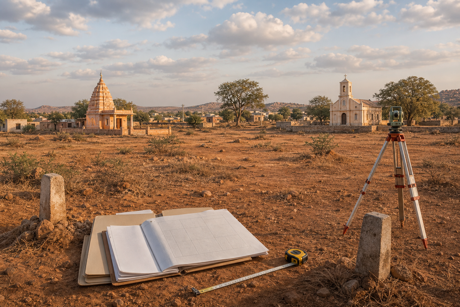
If you want to know whether a church in Raichur’s Bichali Camp stands on land reserved for an Anjaneya temple, the honest answer cannot come from slogans, photographs or whichever structure appeared most recently. It has to come from the original allotment, the sanctioned rehabilitation layout, any later order changing the land use, and an official survey that fixes each structure to the correct boundary.
That distinction matters because Hindu residents allege that part of Survey No. 322 was designated for a temple and was later used for a church, while the group supporting the church denies any encroachment and maintains that the construction was legal. You do not have to suspend concern about a possible diversion of temple land. You do have to insist that every conclusion follows the records.
Key takeaways
- The central question is whether a specific part of Survey No. 322 was formally reserved for an Anjaneya temple and, if so, whether a competent authority lawfully changed that reservation.
- The rehabilitation history matters: the land was developed after the 2009 floods, a private company reportedly built 132 houses, and 131 houses were allotted to beneficiaries.
- Residents say surrounding portions were marked for a garden and a temple. That claim needs an authenticated layout, allotment schedule or government order; community recollection by itself is not conclusive.
- The church-supporting group says its structure is legal and does not encroach. Its claim should be tested against title or allotment papers, construction permission and a boundary survey, not accepted merely because a building exists.
- The August 12 confrontation, the alleged attempt to remove the Anjaneya murthi, the stone-pelting and the land-use dispute are related events but separate legal questions. Violence cannot establish ownership, and ownership cannot excuse violence.
What can be said, and what remains disputed
The sequence behind the present conflict
Survey No. 322 became part of a rehabilitation project for people affected by the 2009 floods. A private company reportedly constructed 132 houses, of which 131 were allotted. Some beneficiaries did not occupy the houses because, residents say, they found them too small. Local residents further maintain that parts of the surrounding land were then identified for public purposes, including a garden and a temple.
A church was constructed in 2024 on land that Hindu residents say belonged to the proposed Anjaneya temple. Complaints were made to the taluk and district administrations, but the underlying disagreement was not resolved. The church-supporting group rejects the encroachment allegation and says the structure was built legally.
Hindu organizations later installed an Anjaneya murthi near the church, at a location described as being on the opposite side of the road. Preparations were made for Amavasya prayers and food distribution. Members supporting the church objected, and some reportedly attempted to remove the murthi. The confrontation escalated on August 12 into physical violence and stone-pelting. Two people were injured, police were deployed, prohibitory orders were imposed in Bichali and Bichali Camp, and a case was registered at Yeragera police station.
The propositions that still need proof
The public facts do not yet settle five decisive points: the exact boundaries of the land reserved for the temple; whether that reservation was formal or merely proposed; whether it was ever modified; whether the church occupies the same parcel; and whether the newly installed murthi stands inside, beside or entirely outside the disputed parcel.
This is why the presence of either religious structure cannot be treated as proof of title. A completed building may still face a land-use challenge. A newly installed murthi may express a community’s longstanding claim, but the installation does not create an allotment that was absent from the records. Both questions must be decided by evidence that existed independently of the confrontation.
The land claim lives or dies in the public record
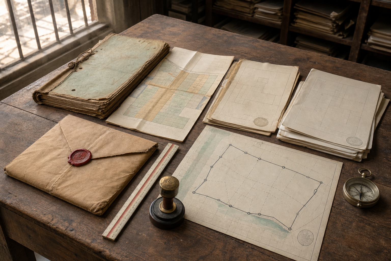
Residents should ask the administration for one indexed site dossier rather than a succession of oral assurances. At minimum, that dossier should contain the following records:
- The original survey map and an authenticated current map for Survey No. 322.
- The sanctioned layout for the 2009 flood-rehabilitation project, including the boundaries of the housing area and every parcel retained for public or community use.
- The construction, handover and allotment records for the 132 houses, together with the schedule describing what happened to the land outside the 131 allotted units.
- The document said to reserve land for a garden and an Anjaneya temple. It should identify the plot number, area, boundaries, approving authority and date.
- Every later order, mutation, revised layout or re-allotment on which the administration relies to say that the original use changed.
- The grant, lease, conveyance or other land document relied on by the church-supporting group, along with the permission under which the church was constructed in 2024.
- A fresh survey sketch plotting the church, the road, the Anjaneya murthi and the claimed temple site on the same map.
These documents answer different questions. A building permission may show that construction was approved, but it does not by itself prove that the applicant held the disputed land or that an earlier temple reservation was lawfully cancelled. Conversely, an old layout marked with a temple site may support the Hindu residents’ position, but its legal force still depends on whether it was sanctioned, whether its boundaries match the present site and whether a valid later order modified it.
The cleanest test is conditional. If the authenticated layout reserves the precise parcel for an Anjaneya temple and no valid modification exists, the administration must explain how another religious structure was permitted there and provide an effective remedy. If the church stands on a different parcel, an official overlay survey should demonstrate that fact. If the reservation was lawfully changed, authorities should publish the exact order, the power used to issue it and the mapped area affected by it.
Do not settle for a letter that merely declares one side correct. Ask for certified, dated copies of the underlying instruments and a reasoned written decision that connects each conclusion to a particular record. If officials provide conflicting papers, residents should take the complete set to a Karnataka lawyer experienced in land, revenue and local-government matters before filing or defending any formal proceeding.
The August 12 violence cannot decide the title question
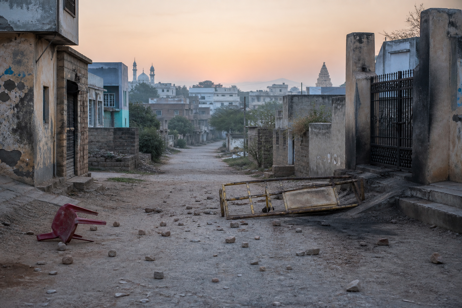
The Hindu side alleges that members supporting the church tried to remove the murthi and that stone-pelting came from that group. Two injuries are reported, but individual responsibility for assault and stone-pelting remains a matter for the police investigation. A criminal case should identify acts and accused persons from evidence; it should not turn an allegation against particular participants into collective guilt for an entire religious community.
Three files must therefore remain separate: the revenue and allotment file deciding the land’s status, the planning file concerning construction permission, and the police file concerning the August 12 violence. Combining them creates bad outcomes. Police action against an assailant does not prove a temple reservation. A favourable land document does not absolve anyone who attacked another person. Prohibitory orders may restore immediate calm, but they do not resolve the underlying allotment.
If you witnessed the clash or possess relevant material, preserve the original photographs and videos with their timestamps and full sequence. Keep medical records, obtain the complaint or acknowledgement number, and give investigators names and actions rather than communal descriptions. Edited clips and forwarded copies can strip away context and metadata, so retain the original files even if shorter versions are circulating online.
Do not move, damage or add to any structure on the disputed site while the boundaries and legal status remain unresolved. Such action can trigger further violence, expose participants to criminal allegations and alter the physical evidence a surveyor needs. Because the present status of the prohibitory orders is not established here, confirm it with the local administration before organizing any gathering. If an order remains active, use a lawful alternative venue and pursue the records off-site.
A record-first path to a just resolution
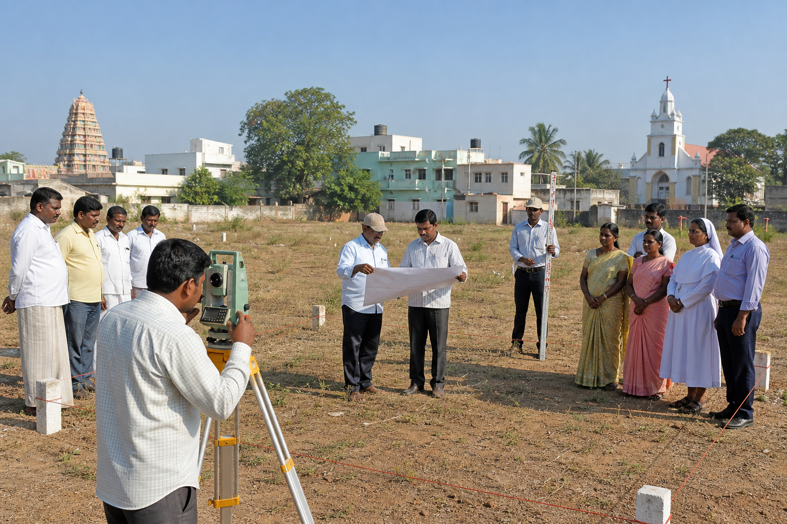
A credible administrative response should begin with a joint survey conducted after notice to representatives of both groups. Officials should mark the relevant points on the ground, prepare a signed sketch, disclose the documents used and allow each side to record a specific objection. The final order should then answer, one by one, whether a temple reservation existed, whether it changed, where the church stands and where the murthi stands.
- Preserve the site and prevent non-essential physical changes while the verification is underway.
- Publish the original rehabilitation layout and the complete chain of later land orders.
- Conduct a measured boundary survey with both sides notified.
- Decide the temple-land and church-permission questions through a reasoned written order.
- Investigate the injuries, stone-pelting and attempted removal of the murthi separately, using individual evidence.
- Provide a lawful route for either side to challenge the administrative decision without returning the dispute to the street.
For a pro-Hindu and pro-Dharma publication, the principled position is clear. Land reserved for an Anjaneya temple must not be diverted through silence, informal influence or a fait accompli. If the reservation is authenticated and no lawful change exists, authorities should acknowledge the breach and restore the designated use through due process. Equal treatment means that Hindu religious land receives the same documentary protection that would be demanded for any other community.
That position is strengthened, not weakened, by testing the opposing claim fairly. If the church has valid land documents and occupies a different plot, the administration should demonstrate it transparently and protect lawful worship at both locations. If an official change of use exists, the public is entitled to see who authorized it and under what power. If no such record exists, officials should not use the mere completion of construction as a substitute for legality.
Your most useful next step is simple: ask for the sanctioned rehabilitation layout, the order reserving or changing the temple parcel, and one survey sketch showing every present structure. Those three items will not answer every legal question, but they will expose whether the dispute rests on a genuine documentary conflict or on assertions that the administration has allowed to harden into communal confrontation.
Raichur’s authorities now have to replace uncertainty with a record that every resident can inspect. Until they do, protect the murthi and all lawful places of worship by protecting the evidence, observing public-order restrictions and refusing to let another confrontation decide what only the documents can prove.
References
