
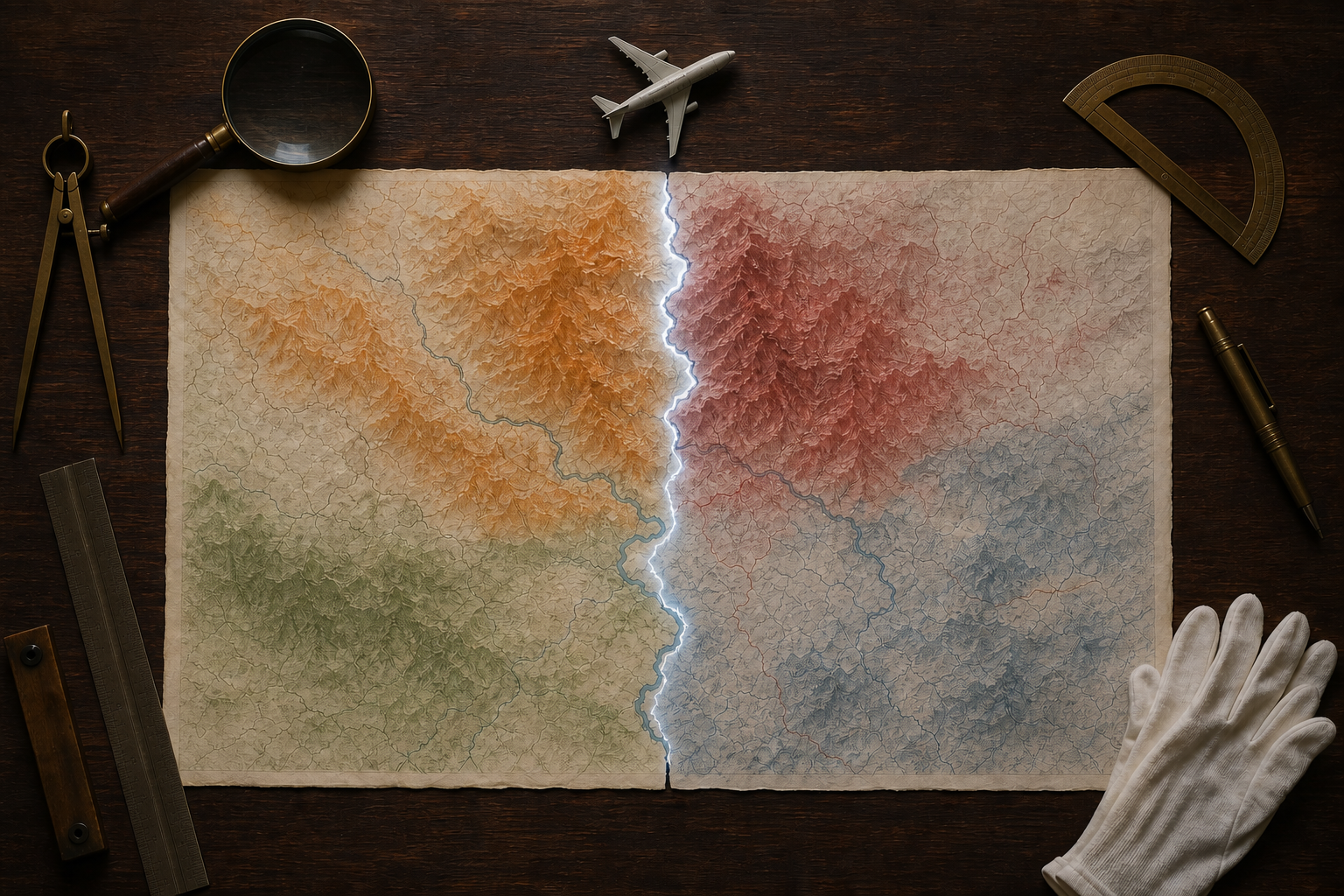
You see a route map from Nepal’s national airline and notice that parts of India appear on the wrong side of its borders. Should you read that as hostility, a careless design choice, or a failure of institutional control?
The answer matters because an inaccurate map can injure trust without proving hostile intent. You need to separate what the image depicts, how it entered publication, what the institution officially stands behind, and what it does after the error is exposed. That approach protects Indian sovereignty while keeping an avoidable mistake from becoming a judgment on the people of Nepal.
Before you react, separate the error from the intent

The immediate concern in the Nepal Airlines incident was concrete: parts of Jammu and Kashmir and Northeast India appeared outside India’s borders, reportedly under Pakistan and China. The airline removed the image and apologised after the resulting backlash.
That depiction deserved correction. It did not, by itself, establish why the error occurred. Digital maps commonly pass through several hands: a data provider supplies boundaries, a mapping service turns them into tiles, a designer adds routes and labels, a vendor adapts the image for a screen, and a communications team publishes it. An outdated raster, an unchecked vector tile, or a stock basemap can survive every handoff if nobody owns the boundary review.
This does not make the error harmless. It tells you where to look for evidence before assigning motive. When you encounter a suspect map, ask four questions in order:
- What is visibly wrong? Identify the exact boundary, label, colour, or territorial assignment. Do not reduce a precise cartographic problem to a vague accusation.
- Who published it, and where? A national carrier’s official channel carries greater diplomatic weight than an anonymous social-media account, even if both used the same defective graphic.
- What is the map’s lineage? Look for a named data provider, retrieval date, edition, legend, disclaimer, or boundary standard. Their absence is evidence of weak control, though not proof of political intent.
- What happened after notification? Removal, an unequivocal apology, a corrected image, and disclosed safeguards reveal more than speculation about a designer’s motives.
If you are documenting the problem, preserve the image, publication channel, date, and exact cartographic defect before it is removed. Share only what is needed to substantiate the complaint. Reposting an inaccurate map without context can reproduce the very misrepresentation you want corrected.
The balanced position is demanding but fair: do not dismiss a sovereignty error as mere artwork, and do not declare an entire country hostile before the institutional facts are known.
Why a faulty airline map acquires diplomatic weight

A map does more than locate airports. It assigns names, encloses territory, and gives visual form to political claims. In Indian cartographic practice, the Union Territories of Jammu and Kashmir and Ladakh, along with Arunachal Pradesh, are integral parts of India. Depicting any of them as belonging to Pakistan or China imports a third country’s claim into an India-Nepal communication.
The identity of the publisher changes the consequence. A national airline is a commercial organisation, but it also travels under the country’s name and flag. Passengers, foreign audiences, and governments can reasonably read its official visuals as more consequential than an ordinary advertisement. Cartographic review is therefore part of everyday statecraft for such an institution.
Technical cartography does have ways to represent disagreement. De jure claims and de facto control may be distinguished with dashed or dotted lines, consistent symbols, a visible legend, and an explanation that the boundary depiction is not authoritative. Those conventions can reduce ambiguity in a genuinely analytical map. They are not a general licence to place Indian territory under another state, and a disclaimer cannot cure incorrect geometry.
For material aimed at Indian users, the operational standard should be clear. The Survey of India is the national authority for official boundary depictions, while the National Map Policy of 2005 frames dissemination standards. An organisation serving India should maintain an India-compliant boundary layer instead of assuming that a global basemap will meet Indian requirements.
This is also why a small-looking mistake can grow quickly. The same map may appear on a website, in a mobile application, on an inflight screen, in a press kit, and across several social accounts. Once the defective boundary has been exported into multiple formats, correcting the original design file is only the beginning.
A credible correction has four visible parts
Speed matters after discovery, but speed without completeness leaves the institution exposed. A reliable correction proceeds in a fixed sequence:
- Contain the inaccurate image. Remove it from every controlled channel, including scheduled social posts, downloadable media files, inflight systems, cached campaign pages, and vendor-managed displays. Keep an internal copy for investigation rather than leaving the public version live.
- State the error without evasive language. Identify the affected territory, acknowledge that the depiction was incorrect, and apologise. Phrases that merely express regret for the reaction shift attention from the error to the audience and weaken the response.
- Trace the data and approval path. Determine which boundary dataset, tile service, stock asset, or vendor file was used; when it was obtained; which transformations followed; and who approved the final publication. This separates a one-off export error from a systemic failure.
- Publish the correction and the control change. Replace the map with a verified version. Explain whether the organisation changed its provider, locked a compliant layer, added specialist review, retrained staff, or introduced independent verification.
Each part answers a different public concern. Removal stops continued circulation. An apology recognises the breach. Root-cause disclosure explains how it happened. A verified replacement shows that the institution can now produce the correct result.
Blaming a junior designer or an external vendor is not an adequate fifth step. Vendors may be contractually responsible for defective data, but the organisation whose name appears on the map remains responsible to its audience. Accountability can be shared internally without being outsourced publicly.
You can judge a response by one practical test: could an independent reviewer identify the old error, locate the corrected asset, and understand what will prevent recurrence? If not, the response has managed attention rather than repaired the process.
Build cartographic review into the publishing system
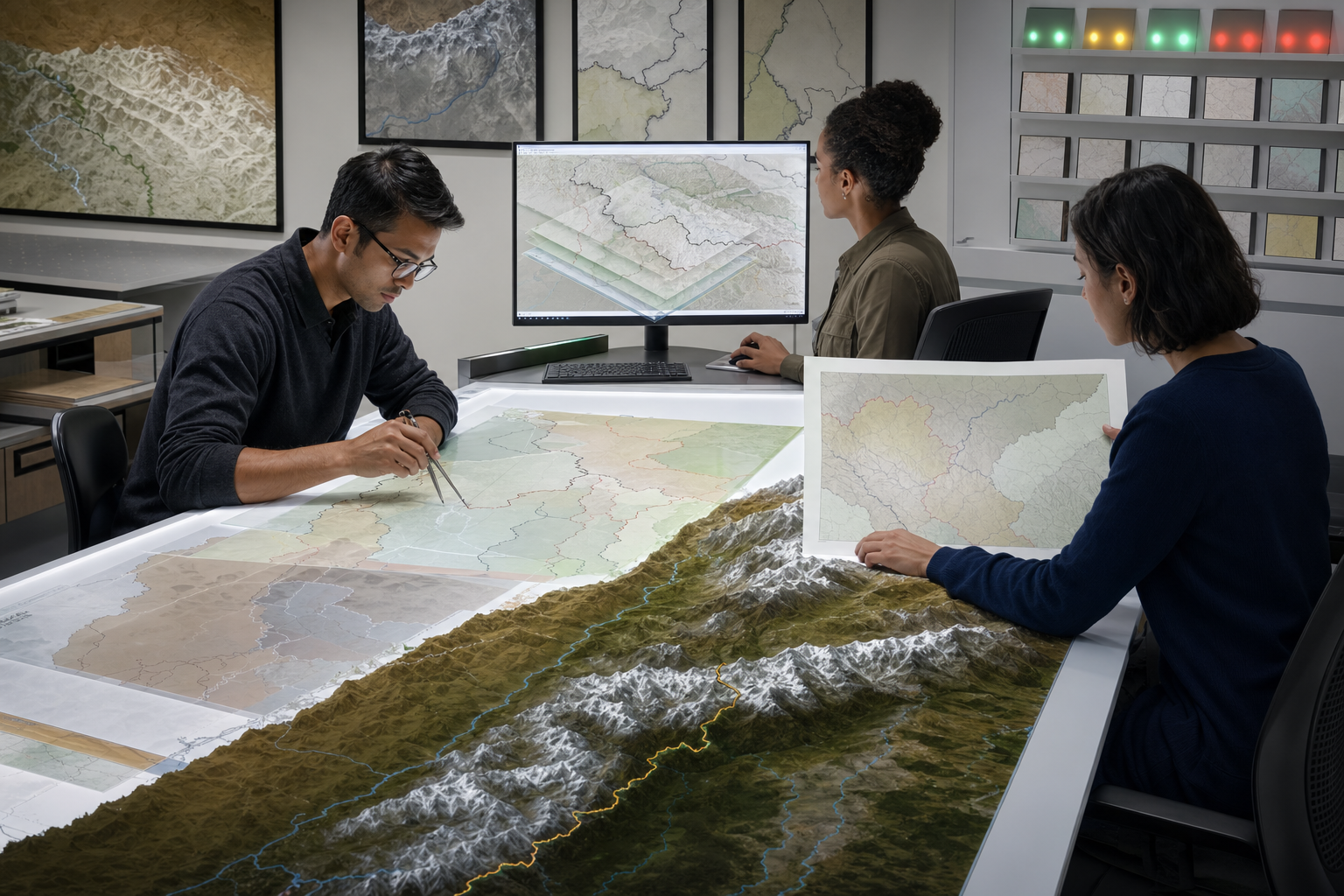
The safest time to resolve a boundary question is before a designer begins composing the final image. Treating map verification as the last item in a general proofreading pass almost guarantees that reviewers will focus on spelling, colours, and route labels while assuming the basemap is trustworthy.
A publisher, airline, travel company, media organisation, or public institution can create a defensible workflow with the following controls:
- Define the intended markets. Record whether the map will appear in India, Nepal, globally, or across several jurisdictions. That decision determines which official and legal references must be checked.
- Choose the boundary authority before the design provider. For Indian-facing material, verify external boundaries against the appropriate Survey of India representation and use a maintained India-compliant layer.
- Separate boundaries from visual styling. Permit designers to change routes, type, colours, and brand elements while locking the approved territorial geometry and sensitive labels.
- Record data lineage. Log the provider, dataset or asset name, retrieval date, version, and checksum or file hash. A link to a live map service is not enough because its underlying data may later change.
- Control disputed-line symbology. If dashed or dotted lines are required, lock their meaning in the style sheet and explain them in a visible legend. Do not let each designer improvise.
- Review every output surface. Inspect the rendered website, social image, mobile display, inflight screen, press file, and printed version. A correct master map does not guarantee that every exported or vendor-hosted copy is correct.
- Require named approval. Cartographic, legal, and communications reviewers should sign off on sensitive maps. A generic approval box does not reveal whether anyone actually examined the boundaries.
- Write vendor obligations into the contract. Specify required boundary standards, data-lineage disclosure, responsibility for errors, urgent correction times, and access to an audit trail.
- Prepare a rollback package. Keep an inventory of every place the map is published, along with an approved replacement asset and the owner authorised to remove defective versions.
Even a small organisation can maintain this discipline with a one-page map register. At minimum, record the asset ID, owner, intended audience, boundary provider, version or retrieval date, reviewer names, approval date, publication locations, and replacement version. That record turns an emotional crisis into a traceable production problem.
A legend, disclaimer, and source citation remain useful, but they sit at the end of the control chain. They clarify an accurate map; they do not convert an inaccurate map into an acceptable one.
Dharmic kinship is strengthened by sovereign clarity

India and Nepal are not strangers joined only by diplomacy. Their relationship includes an open border, trade, family and community connections, pilgrimage, and sacred geographies associated with places such as Pashupatinath, Kedarnath, Bodh Gaya, and Lumbini. These bonds give both societies a strong reason to prevent a defective commercial asset from defining the relationship.
They also give both sides a reason to take cartographic accuracy seriously. Civilisational closeness does not make sovereign representation optional. Respect is most credible when it can hold two truths at once: Bharat and Nepal belong to an interwoven Dharmic world, and institutions must depict present political boundaries with care.
Akhand Bharat, understood as a cultural continuum, is best expressed through memory, pilgrimage, learning, exchange, and mutual regard. It should not become an excuse for careless political maps. Cultural unity gains moral force when it does not require either neighbour’s dignity to be diminished.
Key takeaways
- An inaccurate map can violate India’s sovereign representation without proving that every person behind it acted with hostile intent.
- A national carrier’s map carries diplomatic weight because the institution operates under the country’s name and flag.
- For Indian-facing publications, use an authoritative India-compliant boundary layer; do not rely blindly on a generic global basemap.
- A credible response removes every copy, acknowledges the precise error, traces the data lineage, publishes a verified correction, and changes the control process.
- Defending India’s territorial integrity does not require hostility toward Nepal or its people. Precision, accountability, and proportion serve the relationship better.
The next time a map causes outrage, begin with the exact boundary, the publisher, the data lineage, and the correction. If you publish maps yourself, put those same four checks into the workflow before the image goes live. That is how you defend sovereignty without sacrificing the neighbourly discipline that India-Nepal relations deserve.