
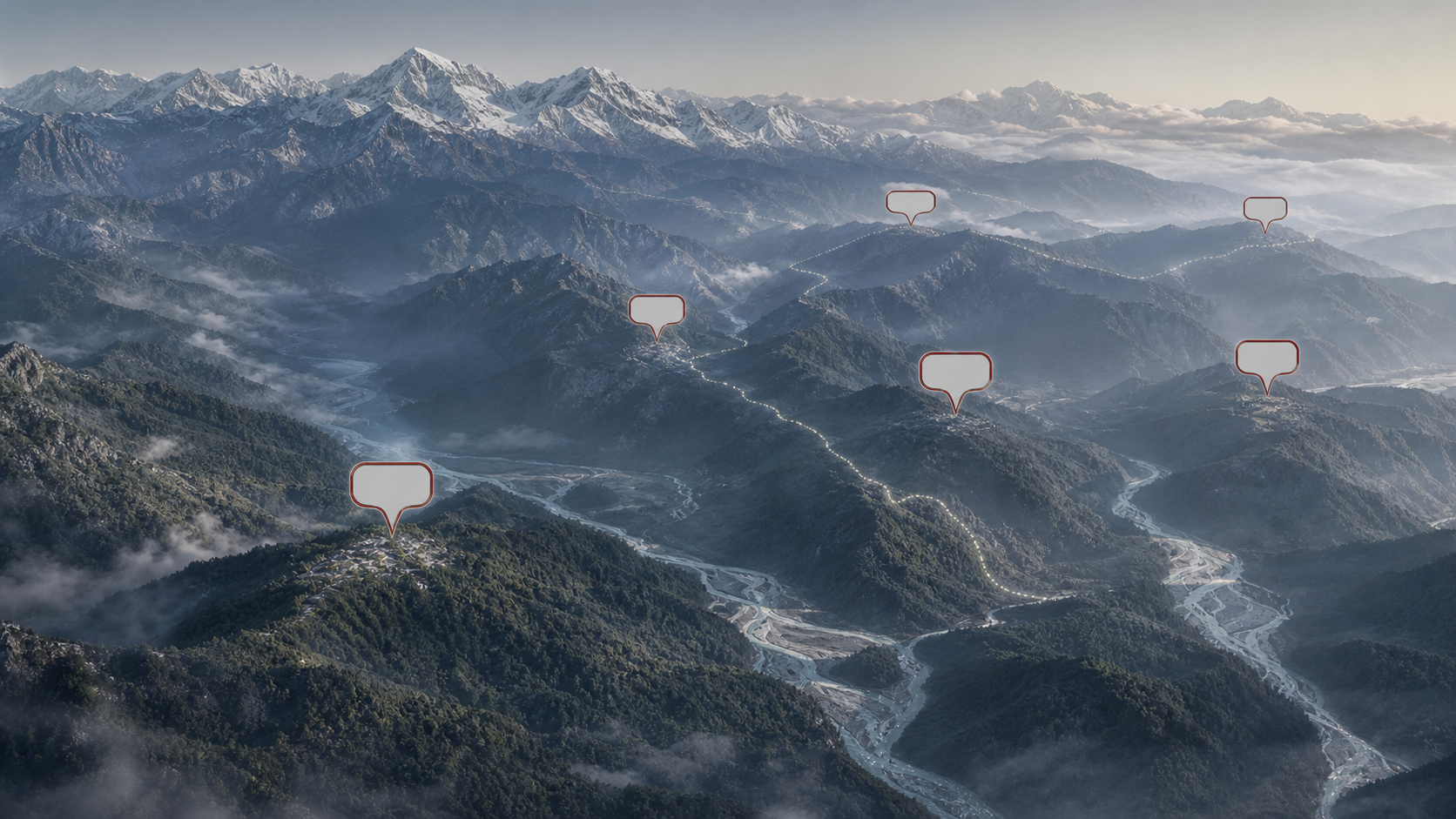
When another Chinese list of names for Arunachal Pradesh appears, you don’t have to choose between laughing it off and treating it as a territorial fait accompli. Neither response is accurate. The useful question is what political work the list is meant to do, and what, if anything, has changed beyond the label.
Since 2017, Beijing has repeatedly assigned Chinese, Tibetan-script and pinyin names to places in Arunachal Pradesh, which it calls Zangnan or South Tibet. The names have appeared in official lists, regulations and maps, often close to a diplomatic dispute or a strategic development. Repetition gives the claim an administrative appearance. It does not, by itself, transfer control, settle sovereignty or turn a claimant’s terminology into independent historical evidence.
The names are instruments of a claim, not neutral translations
A place can have several names across languages without creating a territorial dispute. What makes this campaign different is the official machinery around it. Beijing is not merely translating Arunachali names for Chinese readers. It is declaring its preferred names to be standard, attaching them to coordinates and maps, and placing them within a state narrative that treats Arunachal Pradesh as Chinese territory.
The method works through four reinforcing moves:
- An official body publishes a name, giving a political assertion the appearance of routine administration.
- Coordinates, scripts and feature categories make the entry easy to reproduce in databases, atlases, media graphics and official statements.
- Repeated publication creates familiarity. A label can begin to look established merely because audiences have encountered it before.
- The release is timed to answer or pressure Bharat after a diplomatic, religious, military or infrastructure-related event.
The legal-administrative layer became especially visible in 2024. Alongside its fourth naming list, China prepared regulations restricting unauthorised use or translation of foreign-language place names that could undermine its territorial claims. That combination matters more than an isolated label. It shows an effort to make the preferred nomenclature consistent across the Chinese state’s own information system.
You should therefore be precise when describing what happened. China can issue names for places it claims, but saying that China has simply renamed Arunachal Pradesh can inadvertently imply recognised authority over the territory. A more accurate formulation is: China has issued unilateral names for locations in Arunachal Pradesh as part of its territorial claim.
That distinction is not cosmetic. A claimant’s nomenclature proves that the claim is being asserted. It does not independently prove that the claim is valid.
The sequence reveals escalation and deliberate timing
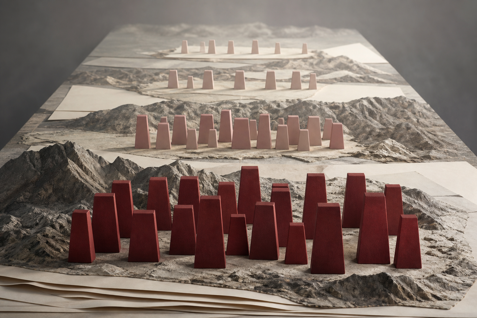
You do not need to memorise every announced name. Track three things instead: the scale of each release, the form in which it appears and the event immediately preceding it. The campaign becomes much easier to read when those elements are placed side by side.
| Stage | What Beijing issued | Immediate context | What to notice |
|---|---|---|---|
| 2017 | Six names announced on April 14, including forms for Urgyeling, Mechuka and Bum La. | The announcement followed the Dalai Lama’s visit to Tawang, which Beijing had opposed. | The selected locations connected the claim to Tibetan Buddhism, the Tawang sector and memories of the 1962 war. |
| 2021 | Fifteen names covering eight residential areas, four mountains, two rivers and one pass, with coordinates. | The Bharat-China standoff in eastern Ladakh was continuing, and China’s Land Border Law was due to take effect on January 1, 2022. | The exercise became broader, more geographically precise and more explicitly connected to Beijing’s legal framing of its borders. |
| 2023 | A national standard map depicting Arunachal Pradesh and Aksai Chin as Chinese territory, alongside Beijing’s claims concerning Taiwan and the South China Sea. | The map appeared on August 28, shortly before the G20 Summit in New Delhi and after the Xi Jinping-Narendra Modi meeting at the BRICS Summit. | The campaign moved beyond individual features to a maximalist visual representation of several territorial claims at once. |
| 2024 | Thirty names published on March 30 for residential areas, mountains, rivers and other features. | Prime Minister Narendra Modi had inaugurated the all-weather Sela Tunnel on March 9, improving connectivity to the Tawang sector. | Naming functioned as a political answer to a material infrastructure development that Beijing had opposed. |
| 2025 | Twenty-seven names released on May 11-12: 15 mountains, five residential areas, four passes, two rivers and one lake, presented in Chinese characters, Tibetan script and pinyin with coordinates and maps. | The fifth list continued the expanding official programme. | Multiple scripts, coordinates and maps made the entries look like ordinary geographical administration rather than disputed political assertions. |
| 2026 | Bharat placed 27 strategic Arunachal locations on its national map under their Bharatiya names on August 7. | Beijing objected on August 10; Bharat rejected the objection on August 12. | New Delhi shifted from verbal rejection alone to an institutional cartographic response. |
The timing does not prove access to Beijing’s private deliberations, so it should not be treated as proof of a specific hidden plan. The public sequence nevertheless shows a consistent signalling pattern. The 2017 announcement followed the Dalai Lama’s Tawang visit. The 2023 map preceded Bharat’s G20 summit. The 2024 list followed the Sela Tunnel inauguration. Each release answered a context in which Bharat had exercised diplomatic, religious, administrative or infrastructural agency.
The widening form is equally important. Six names can be dismissed as a provocation. Repeated lists, precise coordinates, supporting regulations and a standard national map form a more durable system. The intended effect is cumulative normalisation: what remains a contested claim begins to look, inside official Chinese records and to inattentive outside audiences, like settled administrative geography.
Use five questions to assess the next announcement
The next list will probably arrive as a seemingly factual graphic: names, coordinates and a map. Before accepting, dismissing or forwarding it, put it through this five-question test.
- Who issued it? A Ministry of Civil Affairs geographical list, a Ministry of Natural Resources standard map and a foreign-ministry statement perform different functions. Identify the issuing body before describing the move.
- What exactly is being named? Separate villages and residential areas from mountains, rivers, lakes and passes. A claim reaching a settlement deeper inside Arunachal Pradesh carries a different message from one focused narrowly on a feature near the Line of Actual Control.
- How has authority been simulated? Coordinates and multiple scripts increase precision and portability. They can make a claim easier to insert into maps and databases, but precision is not proof of sovereignty.
- What happened immediately beforehand? Check for a diplomatic summit, an official visit, a border-law change, a religious event or a strategic infrastructure announcement. The timing may explain the audience and purpose better than the names themselves.
- What changed outside the information domain? A naming announcement does not by itself move the Line of Actual Control, change physical control or settle a dispute. Look separately for verified administrative, diplomatic or military developments rather than inferring them from a map.
This test prevents two common errors. The first is ridicule: assuming that because a name cannot magically change sovereignty, it has no strategic value. The second is panic: treating an official-looking map as though it records a completed territorial transfer. Cartographic pressure lies between those extremes. It is an attempt to influence the language, memory and documentary environment in which the dispute is understood.
Your own wording can either resist or assist that normalisation. Lead with Arunachal Pradesh and the established Bharatiya name. If Beijing’s term is necessary for explanation, identify it explicitly as Beijing’s term for a place it claims. Do not present Zangnan as an interchangeable, politically neutral synonym for Arunachal Pradesh.
When sharing a Chinese map, put the context in the same post rather than assuming readers already know it. A compact and accurate label would be: China has published unilateral names for locations in Arunachal Pradesh; the names express Beijing’s territorial claim but do not by themselves alter control or determine sovereignty. That sentence informs without amplifying the graphic’s implied premise.
Bharat’s 2026 map creates a more durable answer
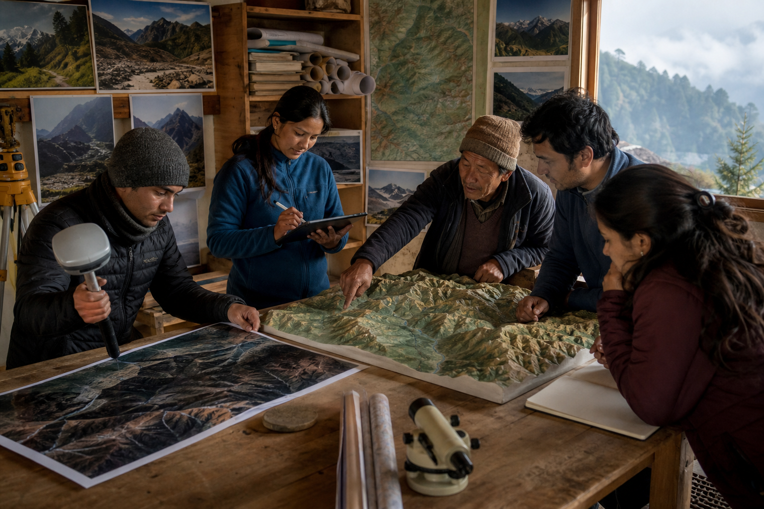
For years, Bharat’s standard response was verbally categorical: invented names cannot change Arunachal Pradesh’s status. That rebuttal remained necessary, but it allowed Beijing to produce a recurring cartographic act while New Delhi answered largely within the news cycle.
The August 7, 2026 decision altered that pattern. Working through the Survey of India and in consultation with the Arunachal Pradesh government, Bharat formally inscribed 27 strategically and historically significant locations on the national map under their Bharatiya names. The selected sites included Longju, Maja, Thag La, Dzo La, Jaswant Garh and the Sher-e-Thapa Memorial.
Beijing called the action illegal, null and void on August 10 and restated its Zangnan claim. On August 12, Bharat’s Ministry of External Affairs replied that Arunachal Pradesh was, is and will remain an integral and inalienable part of Bharat. The exchange preserved the familiar disagreement, but the Indian action behind it was different: it established an official cartographic record rather than relying only on a spokesperson’s rejection.
That institutional distinction matters. A press statement contests the latest assertion. A national map supplies a baseline that can persist after the controversy fades. It gives government offices, educators, publishers and citizens a consistent reference point and ties strategic geography to Bharatiya historical memory.
A serious response should now keep three tracks aligned:
- Cartographic consistency: use verified Bharatiya names consistently across official maps, public communication and geographical records.
- Historical clarity: explain why places such as Bum La, Namka Chu, Tawang, Jaswant Garh and the named passes matter, without turning memory into unsupported legend.
- Material state capacity: pair accurate maps with administration, connectivity and sustained attention to border communities. A map cannot provide all-weather access to the Tawang sector; the Sela Tunnel can. Physical capacity and informational clarity answer different parts of the challenge.
The answer should remain evidence-based. Inventing retaliatory names for places outside Bharat would reproduce the weakest feature of Beijing’s method: assertion standing in for substantiation. Bharat’s stronger position is to document the names it officially recognises, preserve the region’s actual memory, maintain governance and connectivity, and state the dispute accurately whenever Beijing tries to disguise it as routine standardisation.
Key takeaways
- China’s naming campaign is a form of territorial claim-making, not a neutral translation exercise.
- An official name, coordinate or map records Beijing’s assertion; it does not independently prove sovereignty or change control.
- The campaign has expanded from six names in 2017 to larger, more precise lists, supporting regulations and a standard map depicting Arunachal Pradesh as Chinese territory.
- Timing is part of the message: major releases have followed or preceded events involving Tawang, the Dalai Lama, the Ladakh standoff, the G20 and the Sela Tunnel.
- Bharat’s August 2026 inscription of 27 locations on the national map is significant because it converts a recurring verbal rebuttal into a lasting institutional record.
- When you discuss a new list, use the established Arunachal name first, label Chinese terminology as a unilateral claim and check whether anything changed beyond the information domain.
The next time one of these maps enters your feed, pause before helping it travel without context. Record the issuer and date, identify the political trigger, use Arunachal Pradesh’s established names, and separate documentary assertion from any verified change on the ground. That small discipline denies cartographic propaganda its easiest advantage: repetition without explanation.
References
