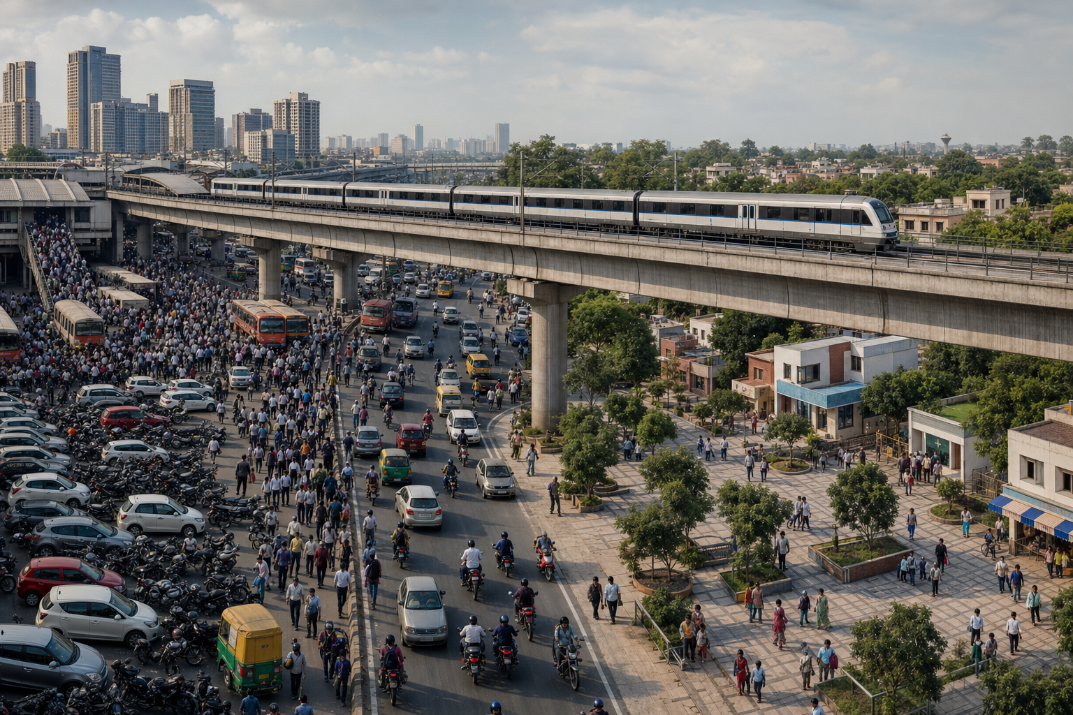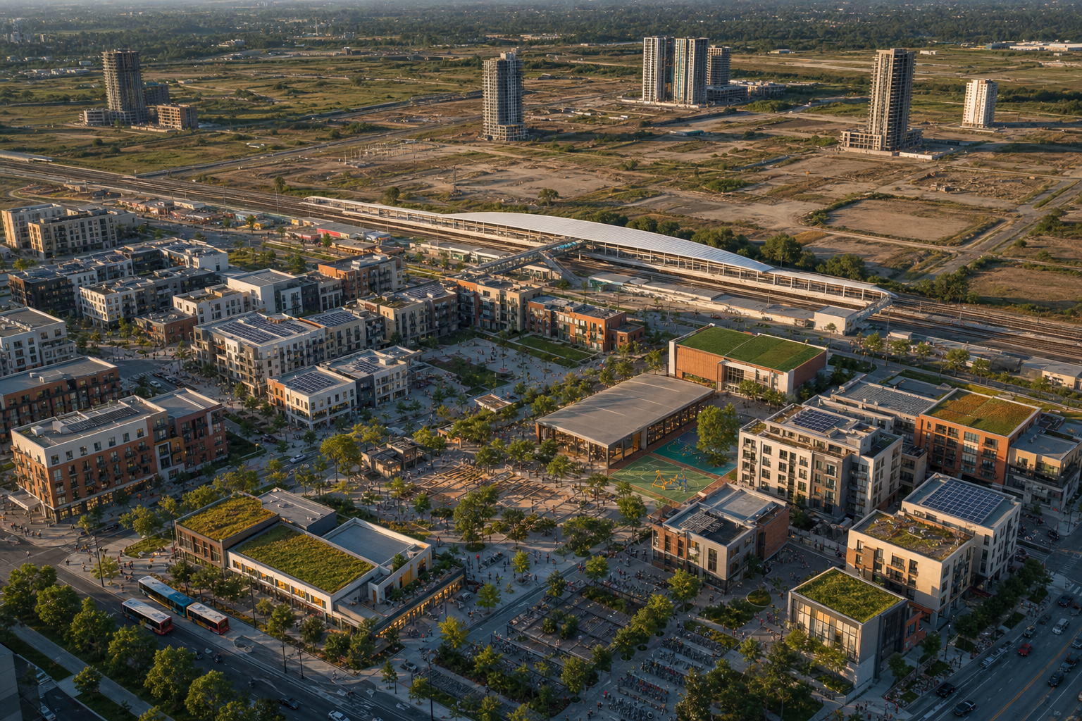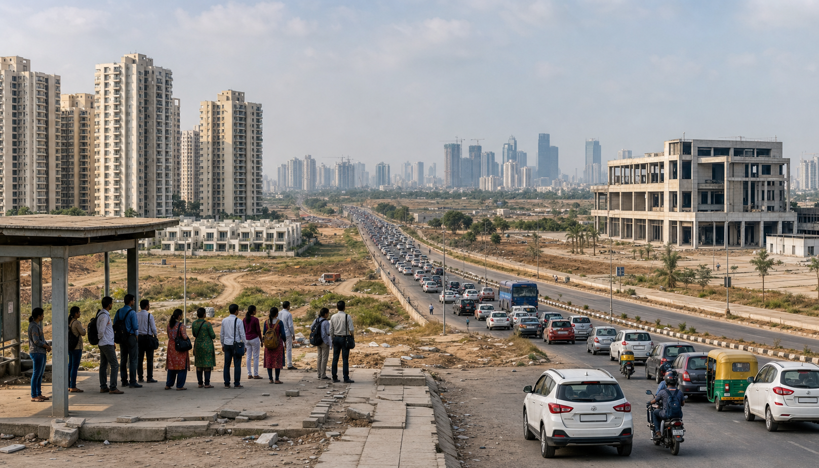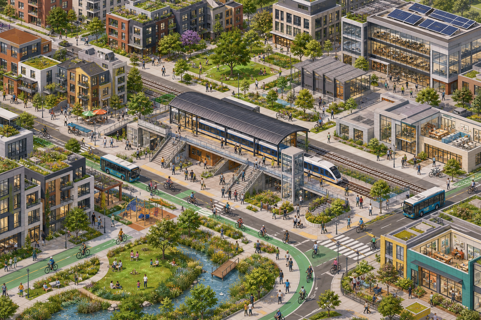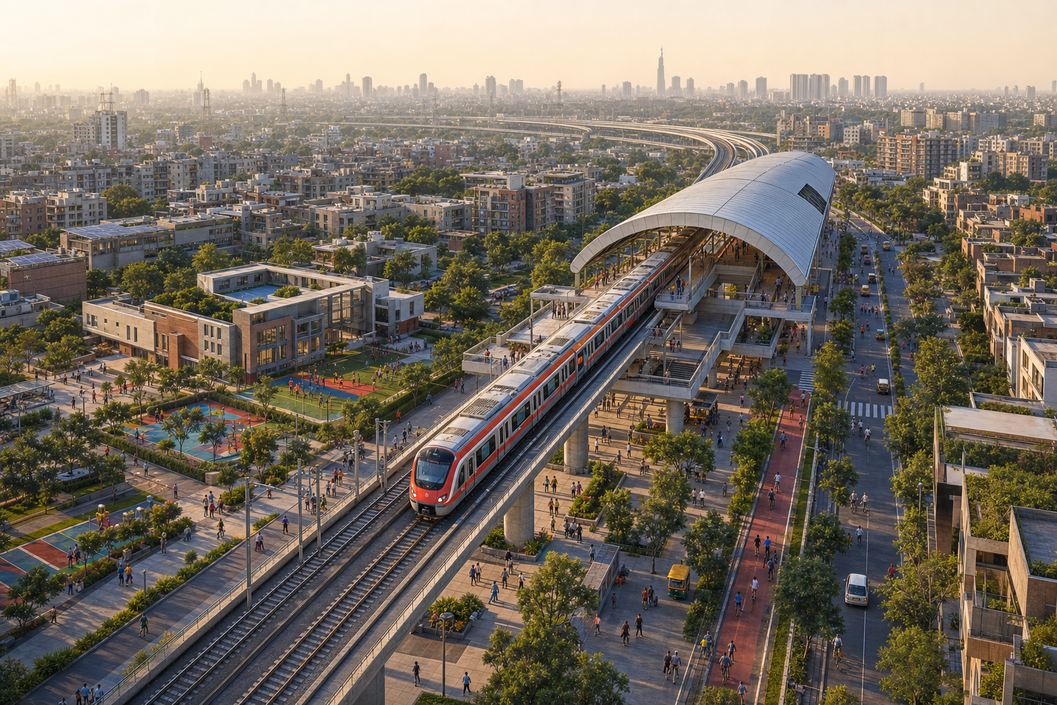
Delhi-NCR’s transit debate is moving beyond whether rapid rail can improve individual journeys. The more consequential question is whether the railway can reorganise regional growth so that homes, jobs and essential services develop together instead of feeding ever-longer commutes into Delhi.
The proposed Namo Cities make that distinction central. Their value will depend less on construction near stations than on whether transit becomes the organising framework for complete, affordable and well-governed urban centres.
A successful railway can still leave congestion unresolved
The source article illustrates the practical value of Namo Bharat through the journey of Dr Vinod Kumar Tyagi, an oncologist living in Meerut. Drawing on a Swarajya report dated 8 July 2026, it says he now rides a scooter to Begumpul station, takes the regional train to Duhai and walks approximately 300 metres to a hospital he visits twice a week. A difficult road trip has become a more predictable combination of short stages.
The article also recounts similar benefits for students travelling from Modi Nagar and office workers moving across the region. These cases show how rapid transit can widen access to employment, education and healthcare while allowing people to remain in their existing communities. Predictability, reduced fatigue and an alternative to private vehicles are meaningful gains even before wider land-use effects are considered.
Yet this evidence does not establish that Delhi is being decongested. A railway may replace some road journeys while simultaneously expanding the distance from which people can commute into the capital. It can also stimulate housing and commercial construction along its route without reducing the separation between workplaces and homes. Transport success and regional restructuring must therefore be assessed separately.
The proposal raises the stakes from mobility to city-making
According to the source’s account of the 42nd meeting of the National Capital Region Planning Board, held on 16 June 2026, the Board approved a broad proposal for four semi-greenfield Namo Cities under Regional Plan 2041. They are intended as mixed-use, transit-oriented developments around selected existing or proposed Namo Bharat RRTS stations. Participating NCR jurisdictions are expected to compete through proposals for the growth nodes.
The article reports a performance-linked incentive package of Rs 5,000 crore, combining grants, loans and guarantees, with Rs 1,000 crore identified as a grant. It also stresses that this remains an emerging framework: locations, boundaries, detailed designs and implementation schedules were not presented as settled, and Regional Plan 2041 still required the examination of issues raised at the meeting and completion of administrative requirements before notification.
That preliminary status matters because transit-oriented development is often diluted during implementation. In general planning practice, genuine TOD combines compact development with mixed land uses, walkable streets, cycling and feeder connections, affordable housing, public spaces and everyday services. Premium towers located beside a railway may be transit-adjacent, but proximity alone does not make daily life less dependent on long journeys or private vehicles.
The demographic context makes weak implementation especially costly. Citing a Press Information Bureau account, the source describes an NCR containing 230 urban settlements and 11,784 villages, contributing roughly 8 per cent of India’s gross domestic product. It reports a population projection rising from about 7.86 crore to 14.73 crore by 2041, an increase of nearly seven crore residents. Under that pressure, shifting construction beyond Delhi’s boundary would merely relocate congestion unless employment, infrastructure and public services move with it.
Earlier decentralisation produced growth without sufficient balance
NCR planning has tried to redirect growth before. The source recalls that the Regional Plan 2021 framework identified metropolitan centres including Gurgaon-Manesar, Faridabad-Ballabhgarh, Ghaziabad-Loni, Noida, Greater Noida, Meerut and Sonipat-Kundli as potential absorbers of population and economic activity. It also relied on counter-magnet areas outside the NCR, with places such as Hisar, Jaipur, Dehradun and Gwalior expected to build independent economic strength and intercept some migration towards Delhi.
The retrospective evidence reported in the article is cautionary. An NCRPB study cited there concluded that earlier counter-magnets did not fulfil their intended migration-reducing role, attributing the weakness largely to distance and inadequate development funding. Draft work for Regional Plan 2041, as described by the source, also acknowledged limited state initiative in strengthening their economic bases and regional links.
Meanwhile, several nearer satellite centres did become major economic locations. The source points to corporate growth in Gurugram, technology and service clusters in Noida, and rapid expansion in Ghaziabad and Faridabad. Their growth nevertheless brought congestion, pollution, infrastructure deficits and housing pressure of their own, while many workers continued to cross jurisdictional boundaries.
The common thread is a mismatch rather than a simple failure to build. Housing without nearby employment creates dormitory settlements; offices without affordable homes draw workers from farther away; and investment without adequate municipal capacity transfers pressure to roads, water systems and public services. Earlier policy dispersed urbanisation geographically but did not always create functionally balanced centres.
Key takeaways
- Namo Bharat’s usefulness to commuters is evidence of improved mobility, not by itself evidence of regional decongestion.
- Namo Cities remain a broad policy proposal rather than four fully specified and financed urban projects.
- Density around stations must be matched by employment, affordable housing, schools, healthcare, public space and first- and last-mile access.
- The history of NCR satellite centres shows that rapid real-estate and commercial growth can create additional congestion when land use and infrastructure are poorly coordinated.
- Performance should be judged by shorter daily journeys, service access, housing inclusion, environmental safeguards and accountable delivery, not only by investment or built floor area.
Implementation must begin with measurable urban outcomes
The semi-greenfield model could connect planned expansion with existing settlements and economic networks, avoiding the isolation of a city created on a blank site. It also makes implementation more demanding. The source identifies land acquisition, village integration, property rights, ecological protection and the upgrading of established neighbourhoods as questions that will have to be resolved rather than treated as secondary matters.
Each competing proposal would consequently need to show how many kinds of daily activity can occur within the node, how housing will serve workers at different income levels, and how walking, cycling and feeder transport will connect neighbourhoods to the RRTS station. Plans would also need credible capacity for water, sanitation, education and healthcare before high-density construction creates demand that local institutions cannot meet.
The performance-linked funding model makes the choice of metrics particularly important. Selection based principally on land monetisation, construction volume or promised investment could reward transit-adjacent real estate rather than balanced cities. Measures tied to the relationship between homes and jobs, door-to-door accessibility, affordable housing delivery, municipal services and protection of ecological systems would align incentives more closely with decongestion.
Regional coordination is the final test. The NCR framework spans Delhi and adjoining areas of Haryana, Uttar Pradesh and Rajasthan, while transport, land development and municipal services are handled by different authorities. Station planning cannot succeed independently of state land policy, local infrastructure budgets and cross-boundary mobility. Responsibilities, timelines and funding commitments therefore need to be visible before construction begins.
The next phase will become credible when detailed proposals explain not only where the four nodes would stand, but how their residents could work, study, obtain care and meet routine needs without reproducing Delhi-centred travel. If those answers shape land use from the outset, Namo Bharat can become the spine of a more balanced NCR rather than simply a faster route through an expanding one.